Long update today, with lots of pictures!
Well rested from the day before, I awoke early the next morning – although the sunrise helicopter tour taking off a few hundred metres away helped that!
On the road to King’s Canyon, I encountered a couple of dingoes.

Then it was time to see the canyon itself. The first part was a steep climb up a loose rocky surface, but immediately the views starting paying off.


Then the path takes you by the canyon edge for the first time.


There are actually two linked canyons, the main one running east-west, meeting a second running north-south at the end.


Texture left in the rock by the ancient seas.

Interesting effects of erosion and weathering on the rocks.

Half way around, you descend into the canyon itself, into an area called the Garden of Eden, where Jurassic-era cycads compete with ghost gums for the near-permanent water.


Climbing back out of the canyon, there are more views over the age-weathered landscape.


Looking back down into the Garden from the far side.

And looking back along the main canyon mouth.

The junction between the two canyons.

The end of the main canyon.

Then the walk takes you back away from the canyon edge – but isn’t finished with the scenery.


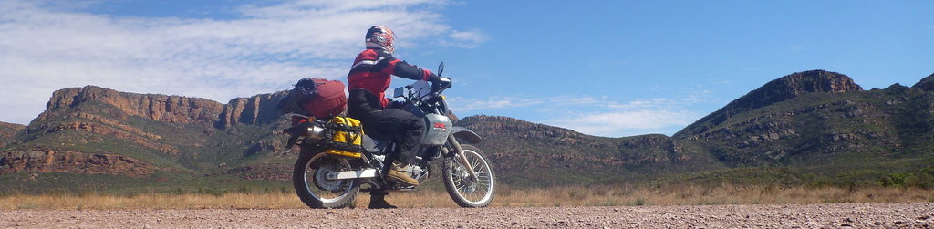
Finally, it was time to leave King’s Canyon. I kept heading north, onto the Meerenie Loop Road, a notoriously rough road linking up with the West MacDonnell Ranges further north. The first part of the road was well paved, and provided a last parting view of the George Gill Ranges.

It quickly became more interesting, even though I hadn’t hit gravel yet!


Once I hit the gravel, it was corrugated and rough in sections, but no worse than the NT part of the Great Central Road.

This is an interesting way of telling you to slow down…?

Then the road wound its way through gorgeous rolling countryside, with high hills on one or both sides most of the time.


Another odd sight – an abandoned clothes tree.

Stretches of the road were lined with these small wild melons – not sure if they’re actually edible or not.

More countryside.


My next stop was a place called Gosse Bluff. This is an ancient impact crater where its thought a comet around 600m diameter hit the earth. They think a comet rather than a meteor or asteroid because no trace of foreign metal has been found at the site.


A lookout further up the road provided a good overview of the bluff.

From here the road was paved and in very good condition. It twists sinuously through the countryside, providing beautiful motorcycling and beautiful views.


I now entered the West MacDonnell Ranges National Park. The first stop was Redbank Gorge, along a dirt access road.

Another near-permanent watercourse, you walk along the creek bed as the walls of the gorge slowly close in, tighter and tighter.


Interesting patterns in the rock, which looked almost like marble.

At the end is the waterhole itself.


It is possible to continue upstream for another kilometre or so by swimming and scrambling over the rocks, but the day was getting late so I turned back.


I camped for the night at the hill just outside the gorge entry.