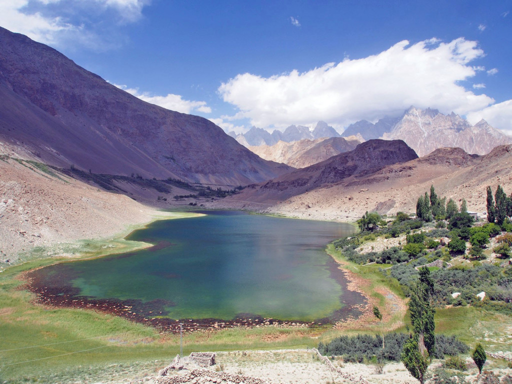
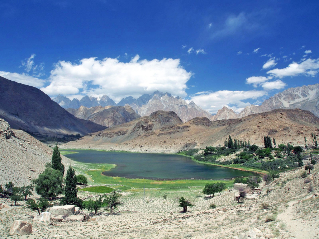
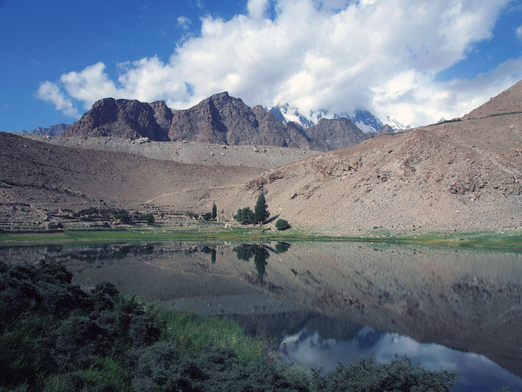
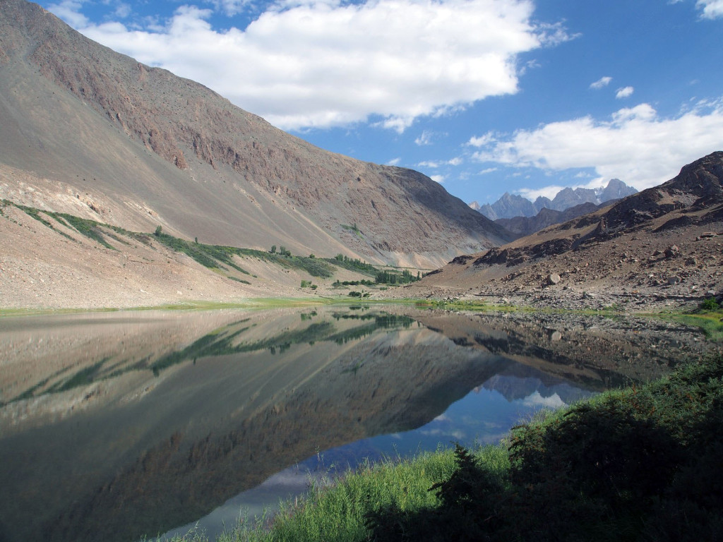
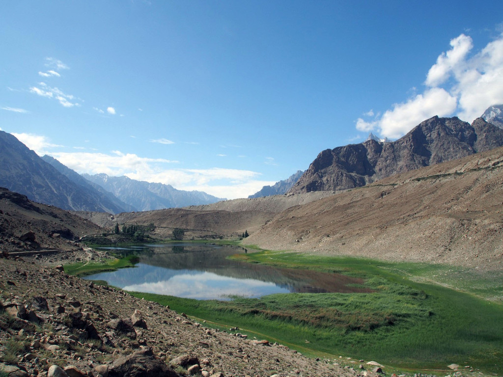
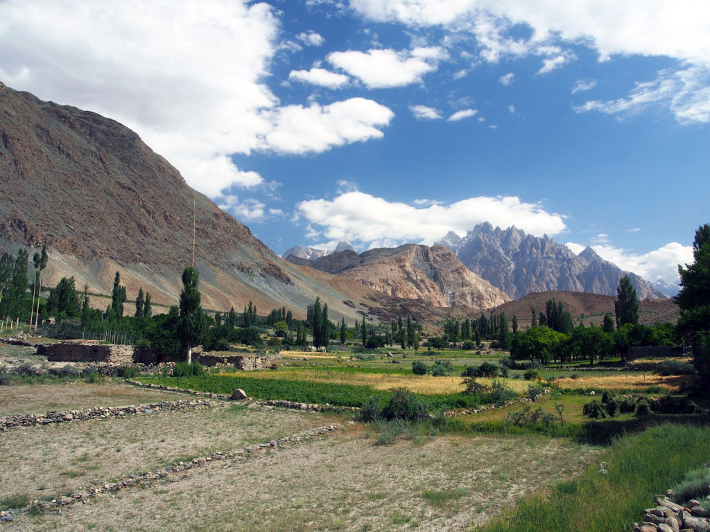
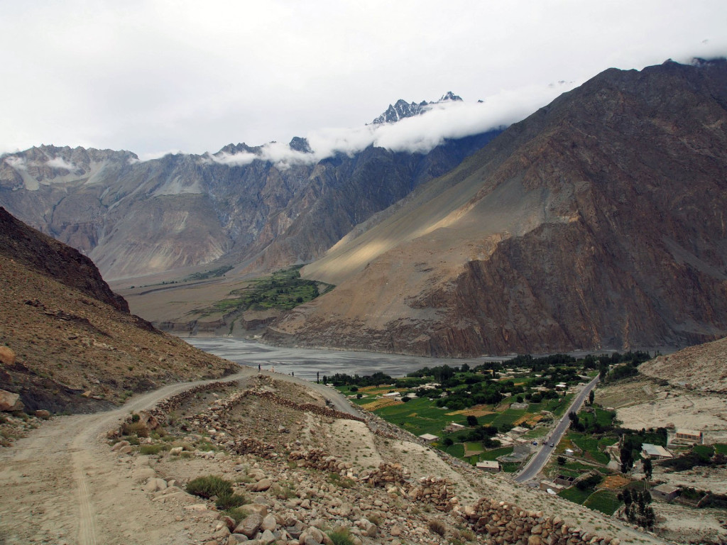
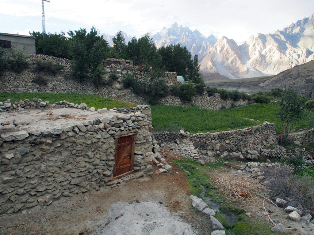
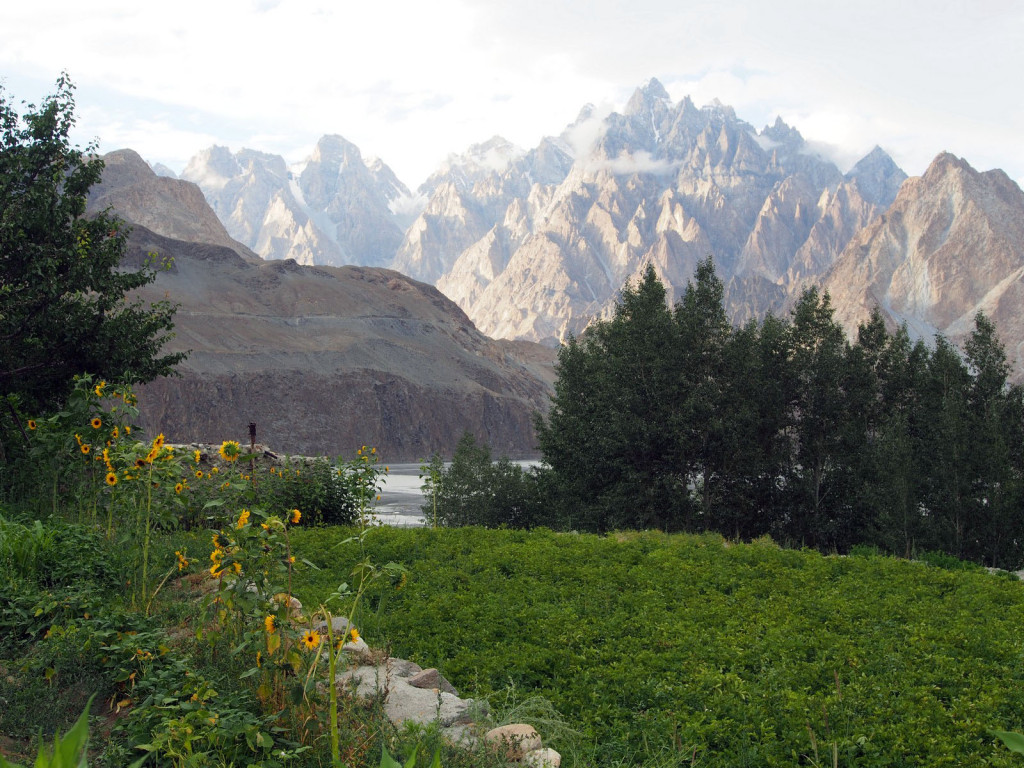
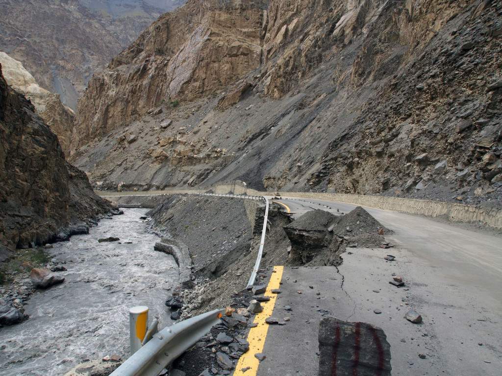
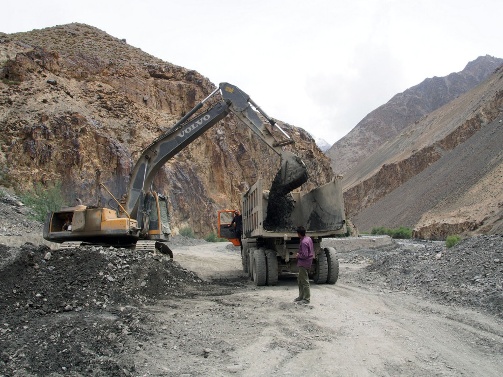
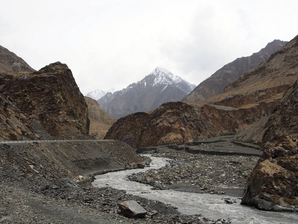
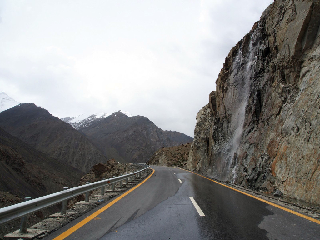
With a delay before our Chinese permits could be reissued, and needing to wait for the road repairs to be completed, we settled in to the local area. We found the nearby Borith Lake, a beautiful alpine lake fed from spring water instead of snowmelt, so it’s not too cold to swim. Surrounded by mountains, we pitched our tent.
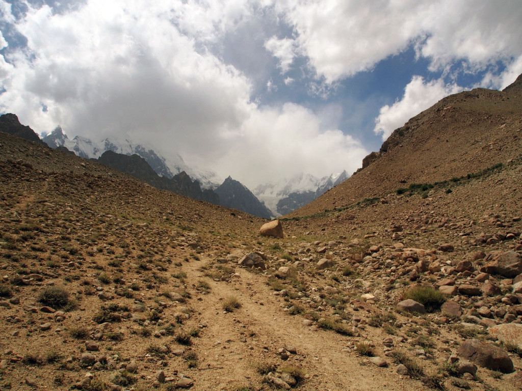
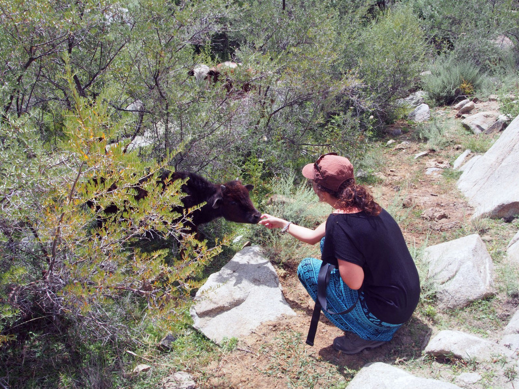
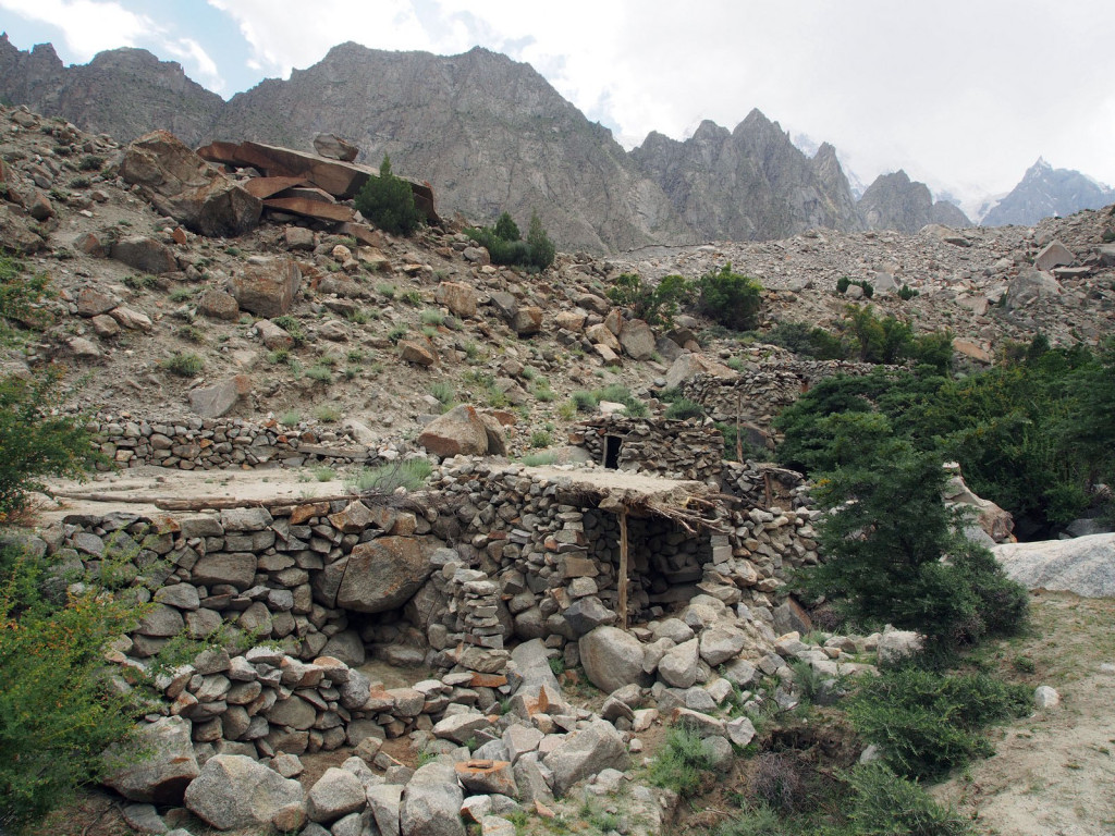
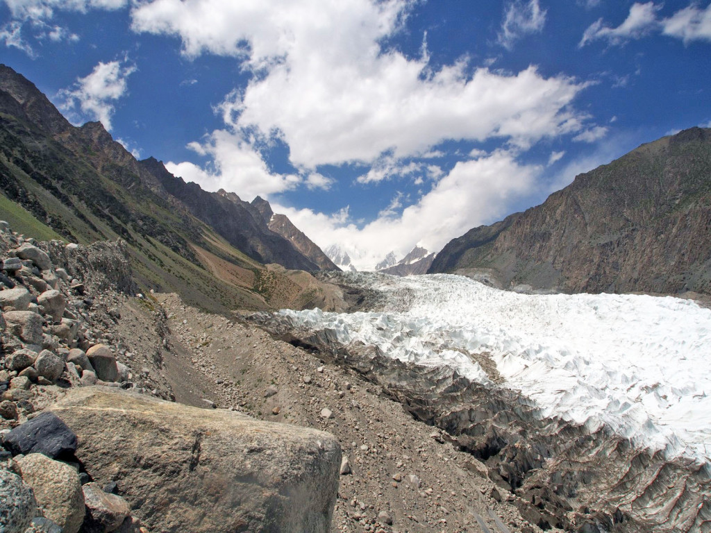
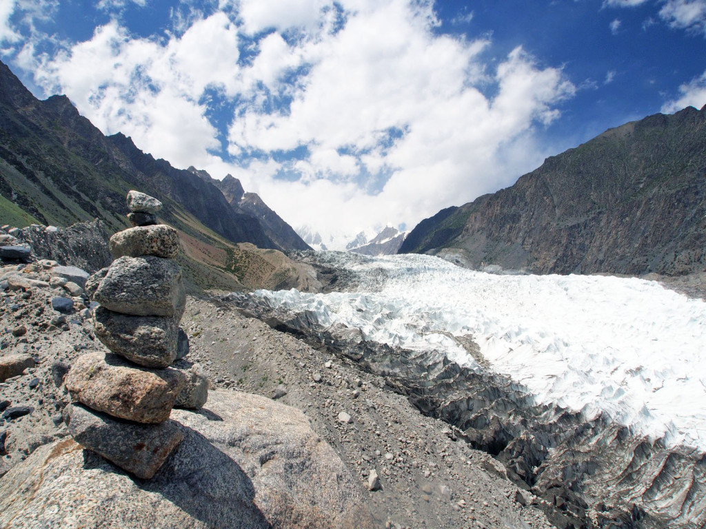
There are a number of day treks that can be done nearby. On the first day, we took a trip up to Ghulkin glacier. Tiny cows graze on the hardy plants growing between the rocks, and some villagers have basic houses built high up into the hills.
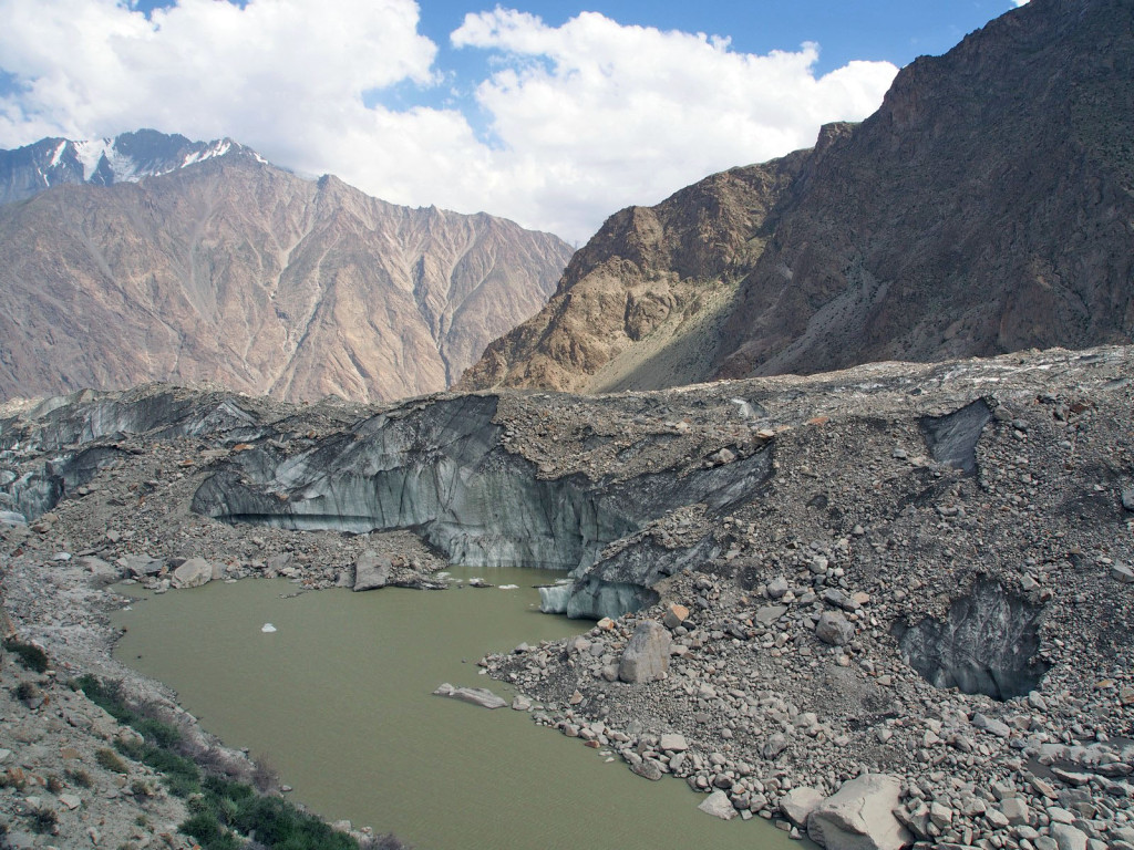
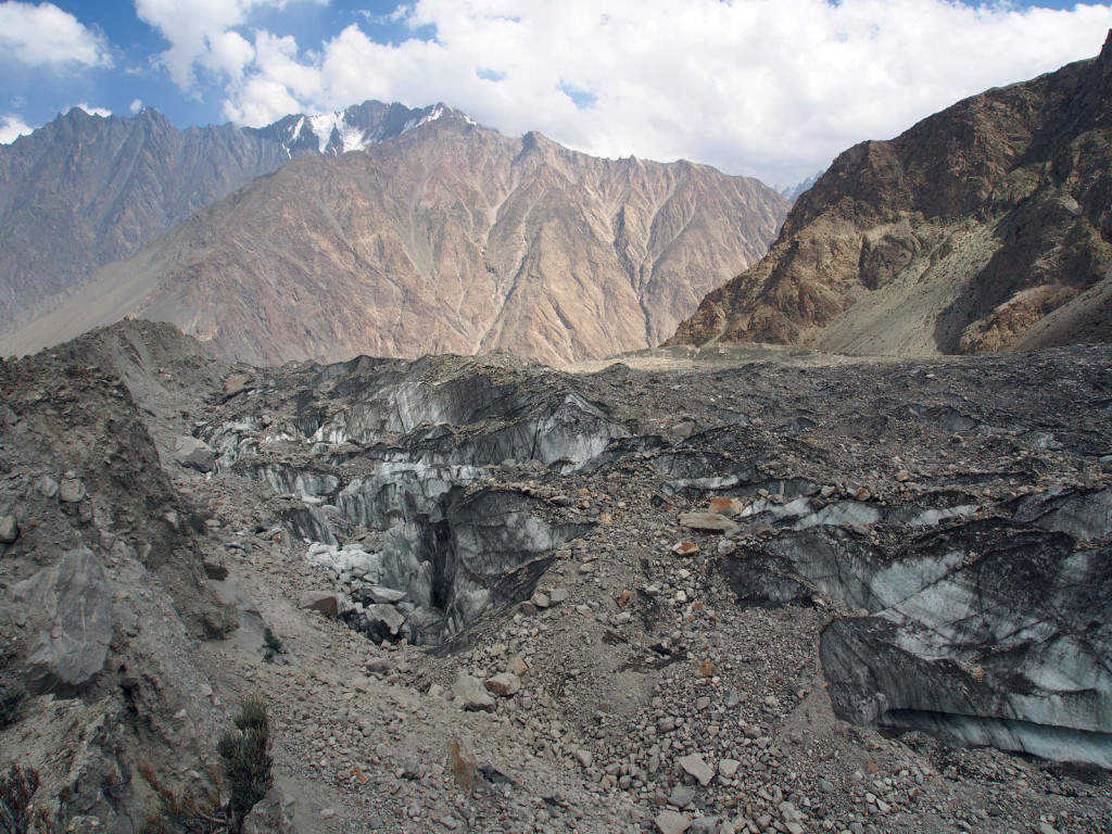
The glacier is covered with dirt and rocks, which fall with a loud crack at regular intervals, as the ice melts in the sun. In the distance the pure white ice can be seen descending off the mountain.
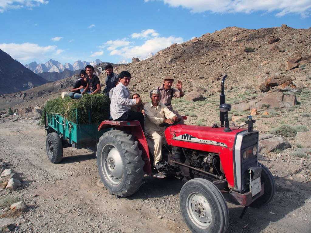
The locals are universally friendly.
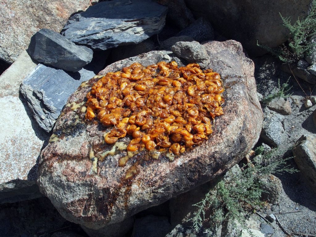
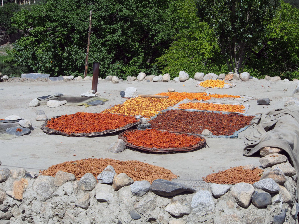
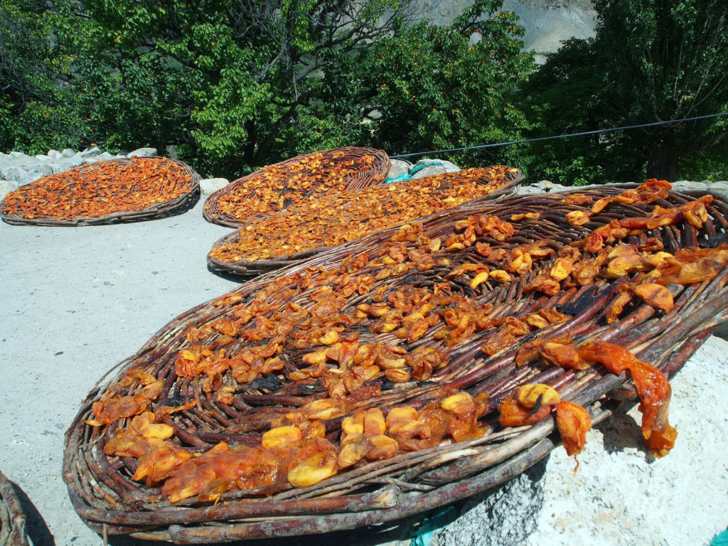
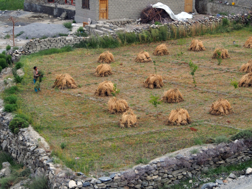
The following day we trekked up to the glacier on the other side, Passu glacier. It’s a longer road to get there, through another local village where the apricots are in season, being dried in the sun.
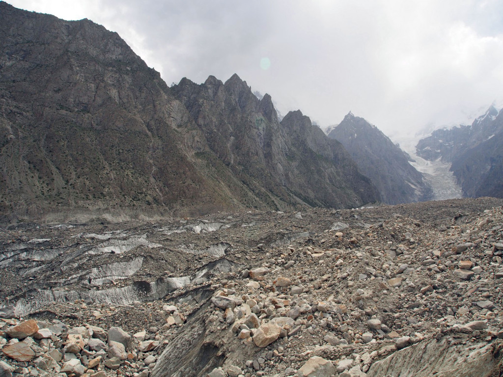
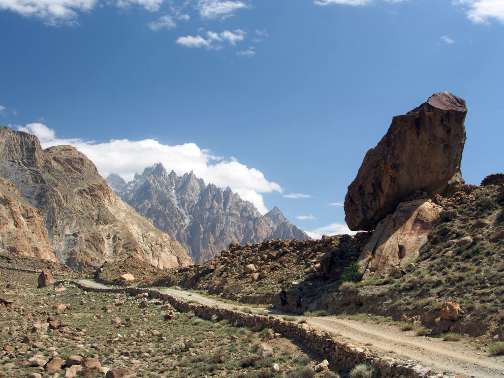
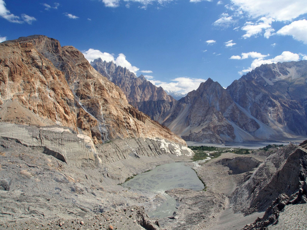
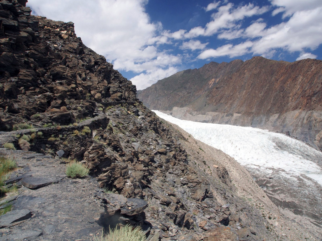
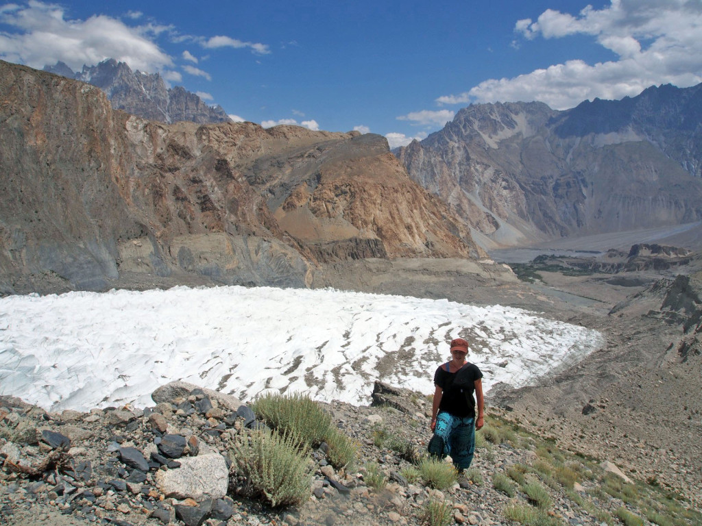
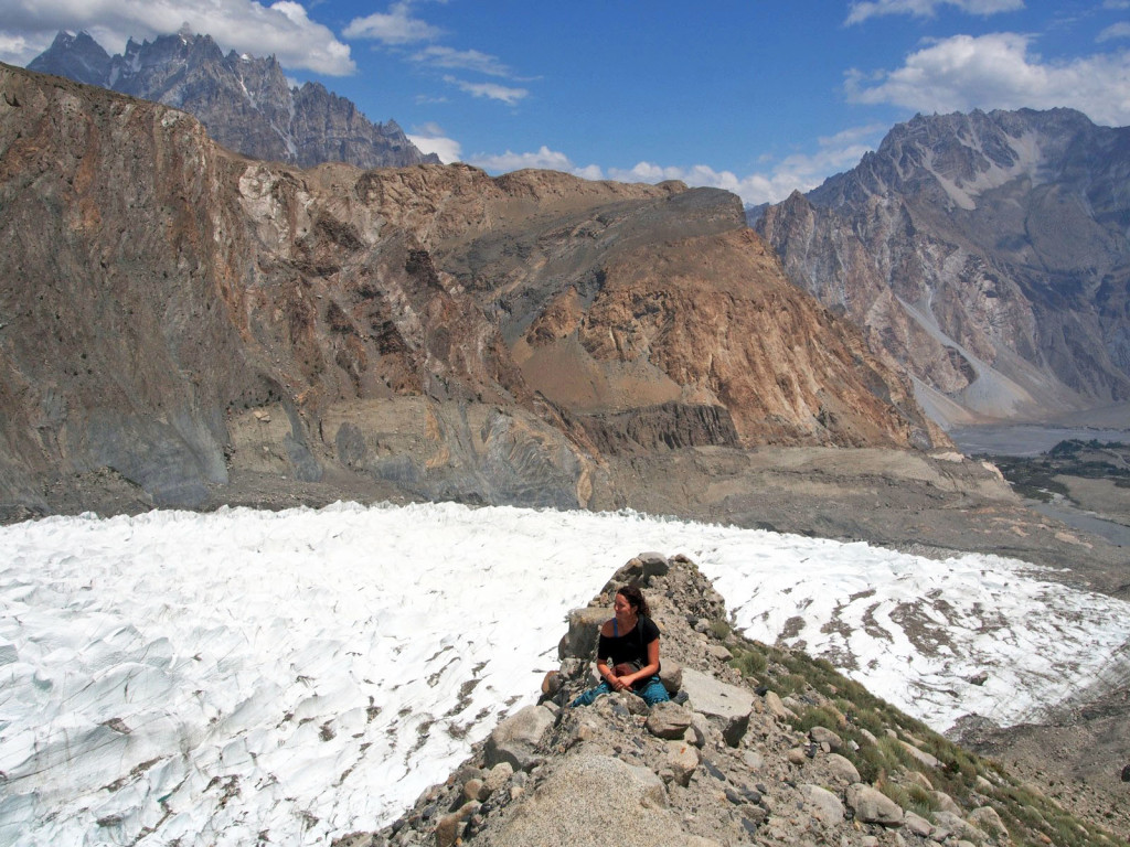
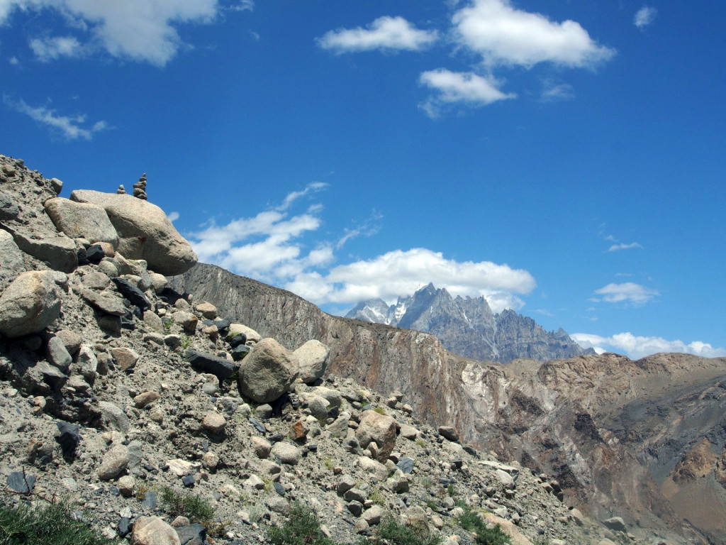
The trail to the glacier becomes more precipitous, winding along the edge of shale cliffs and looking down into the now empty valley. The glaciers here have been retreating 20 to 30 metres per year due to climate change.
There is much less dirt and rockfall onto Passu glacier, meaning it keeps its brilliant white colour. We scrambled up a loose scree slope to get a good view, and I left another cairn.
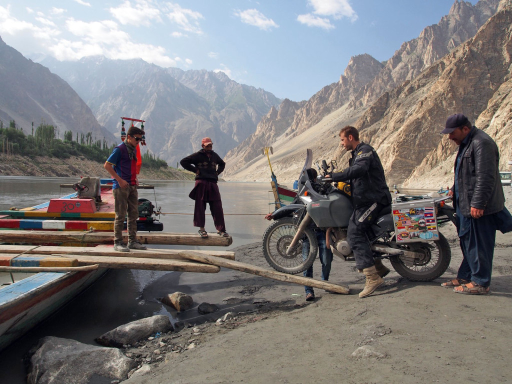
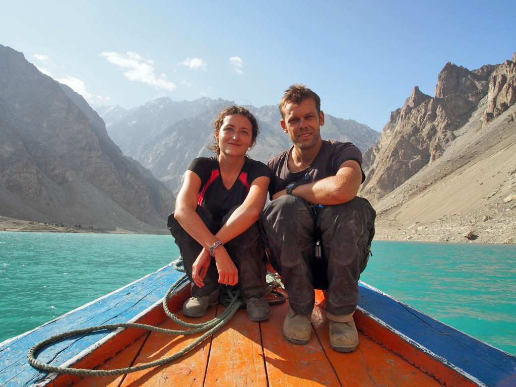
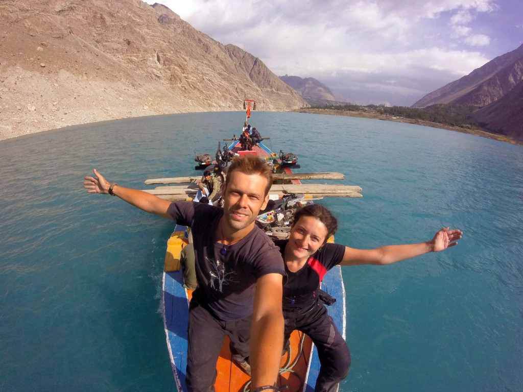
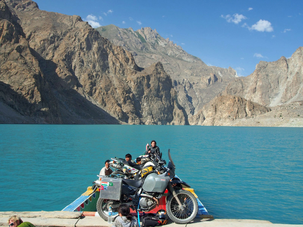
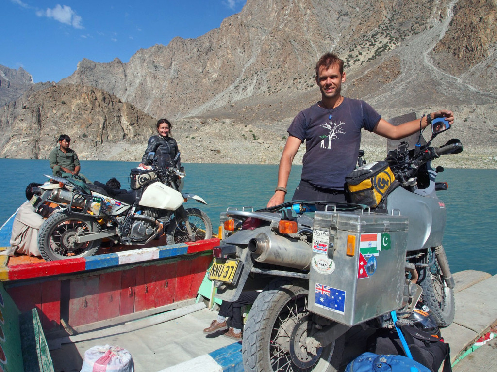
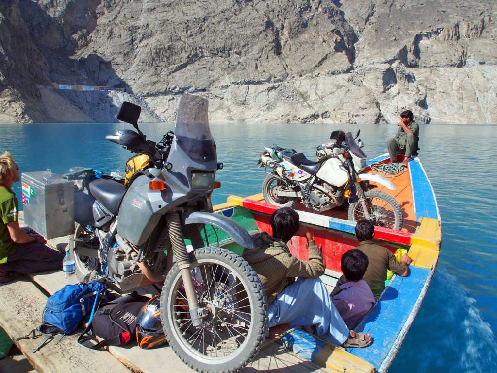
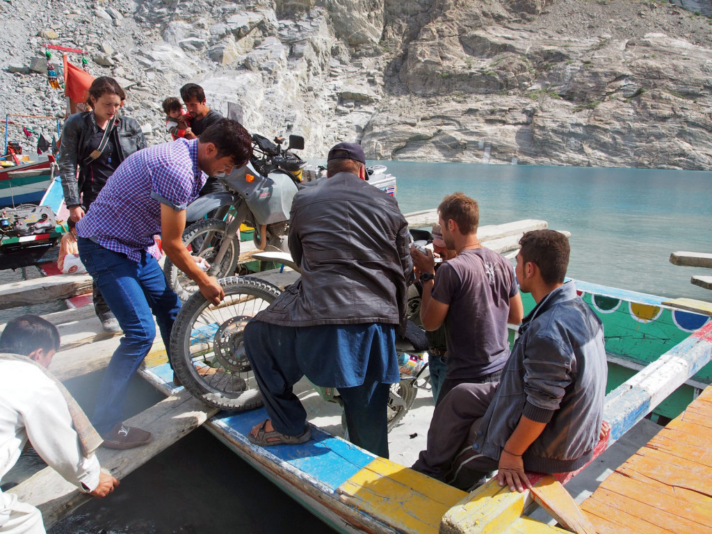
Some of our friends had shorter visas, and so were due to run out before we could cross into China – so we took a day trip south to Gilgit, the administrative and governmental hub. This meant crossing back across Lake Attabad, which we didn’t mind too much as it’s a beautiful trip. It was a bit less crowded this time, too!
On unloading, I dropped Ghighi’s bike while untying it, but with the help of half a dozen locals we quickly lifted it out. The only damage? A broken mirror. These bikes are tough!
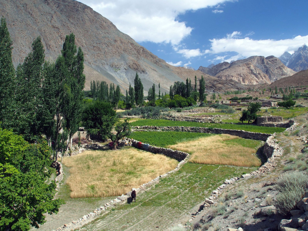
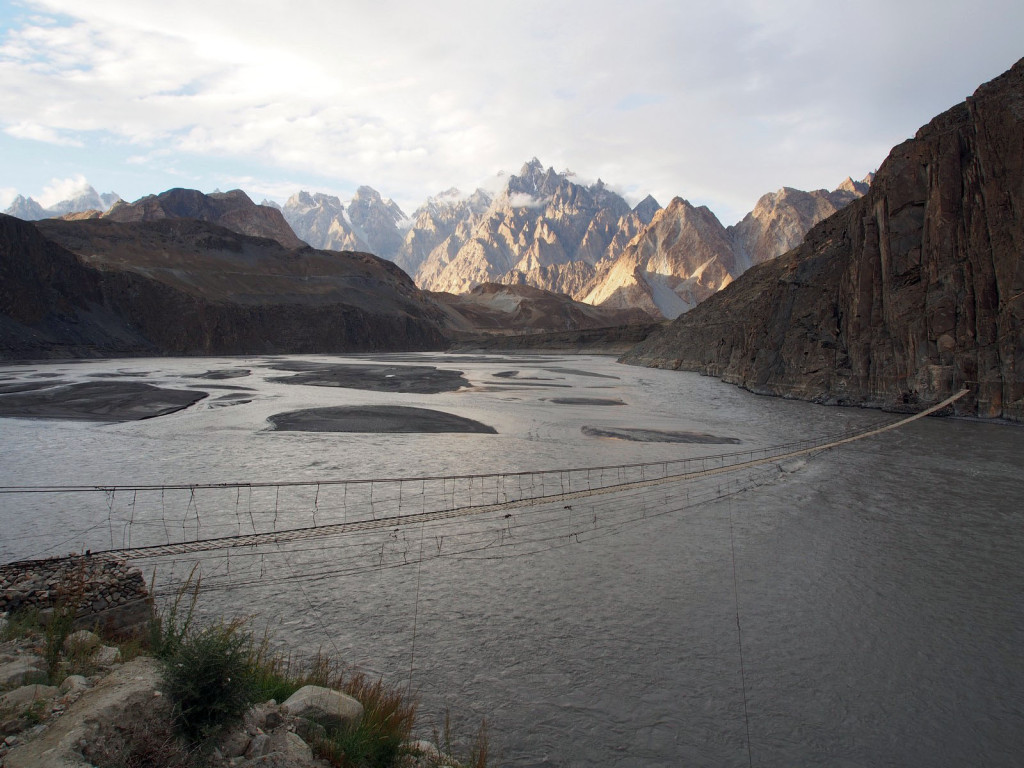
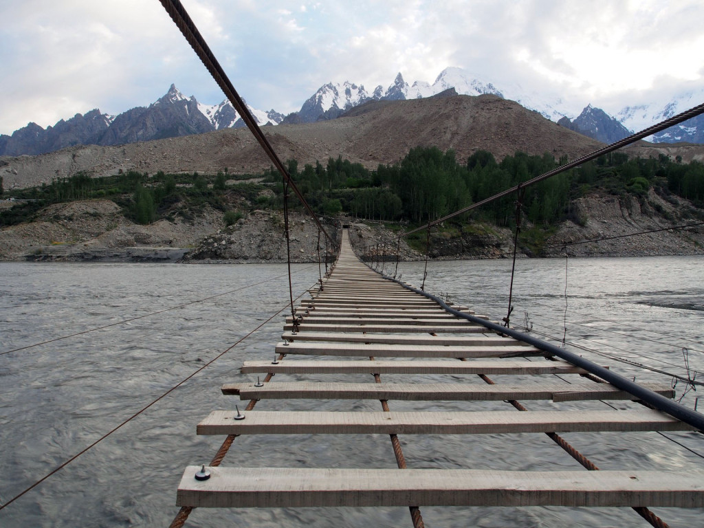
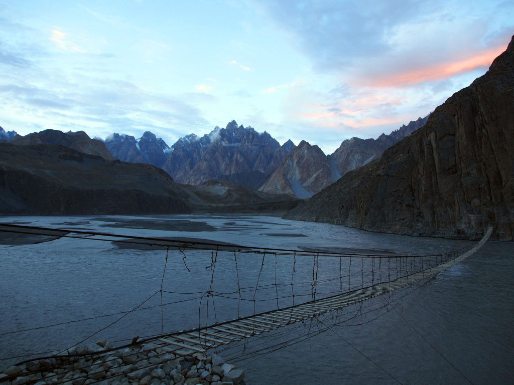
In the nearby village is a suspension footbridge over the river, to access farmland and a few isolated families on the far side. We wandered down the hillside and through the village to it.
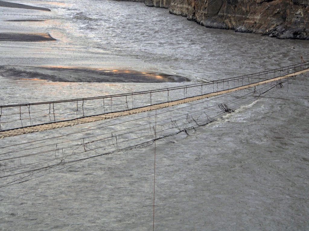
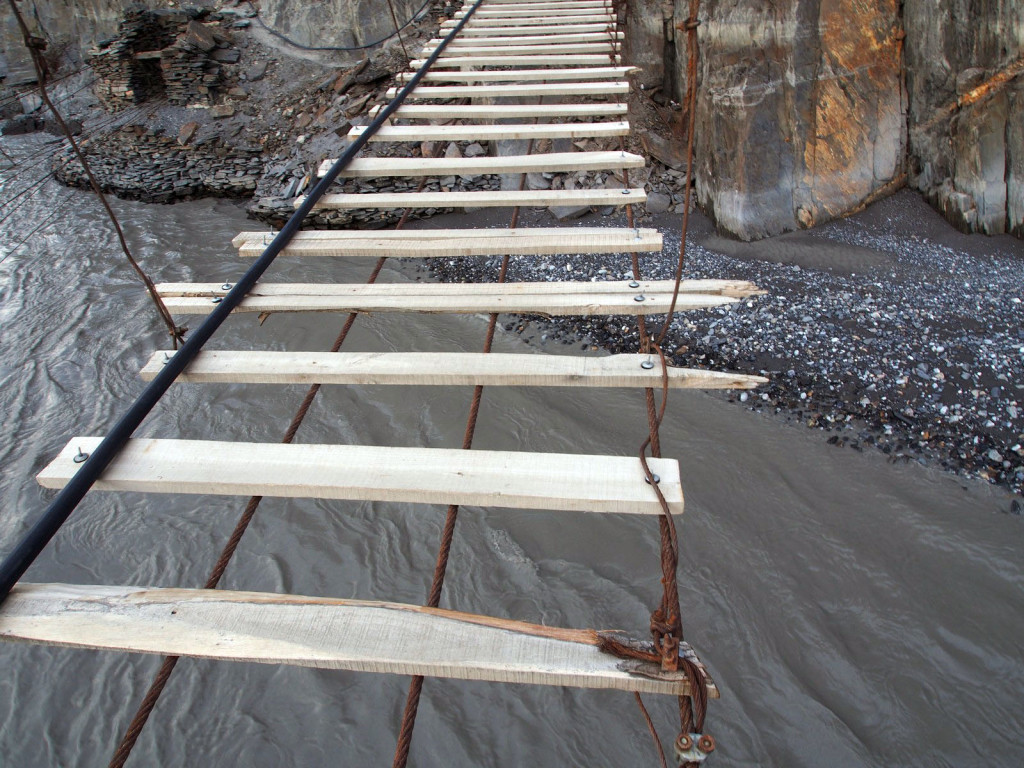
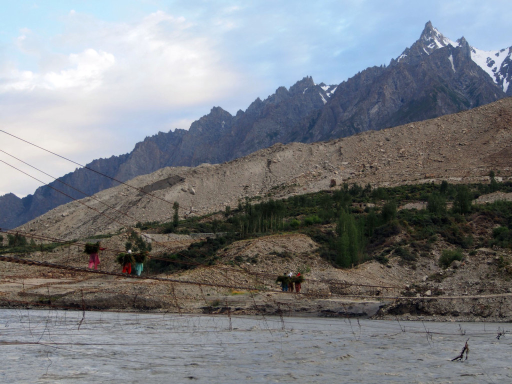
Upon seeing it close-up, you realise just how long it is. Worringly, you can also see the remnants of the old bridge dragging in the water behind it.
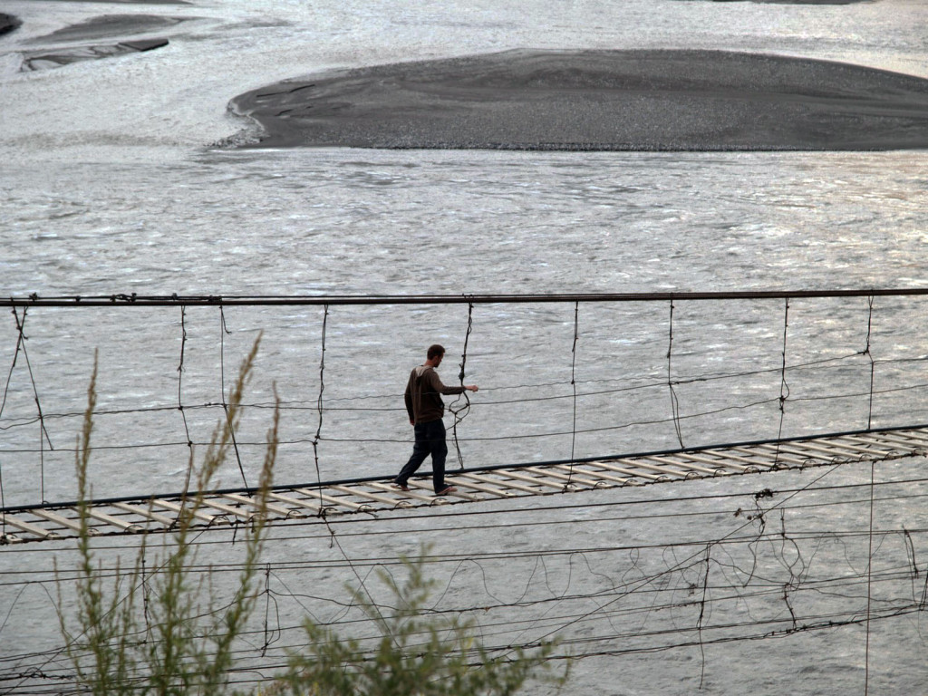
We ventured across, with the Indiana Jones theme song playing in our heads, stepping along the often split or rotting planks, dodging the gaps that were wider than the planks themselves.
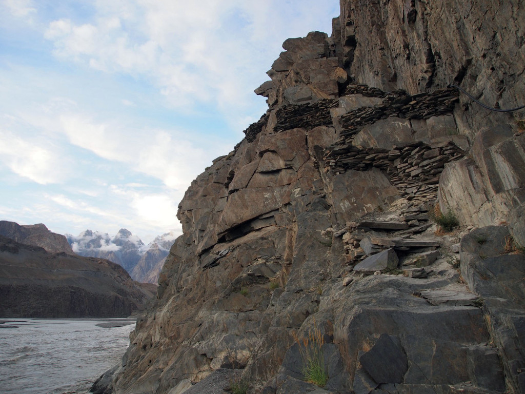
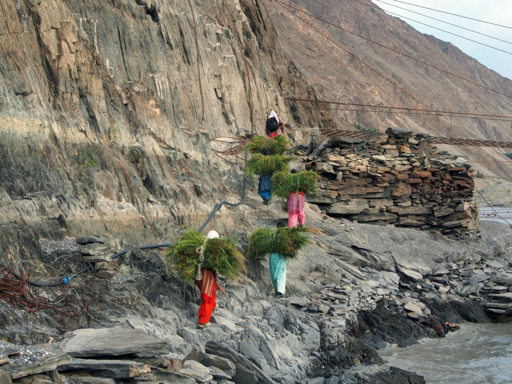
On the far side, a path has been carved out of the sheer cliff face, and lined with slate tiles. Some of the locals carry bundles of grass to feed the cows, or firewood for their homes. We found it difficult enough just to keep our balance while carrying nothing!
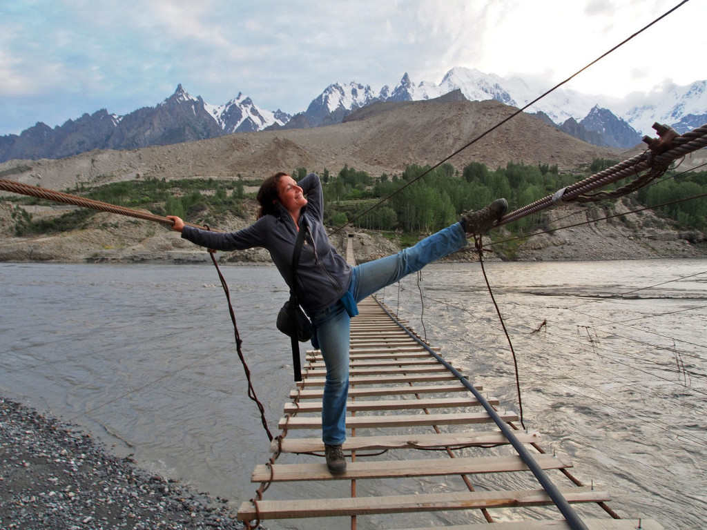
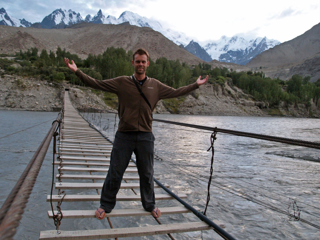
We pulled a few silly poses for photos and returned back to the camp as dusk fell.
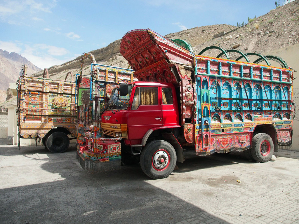
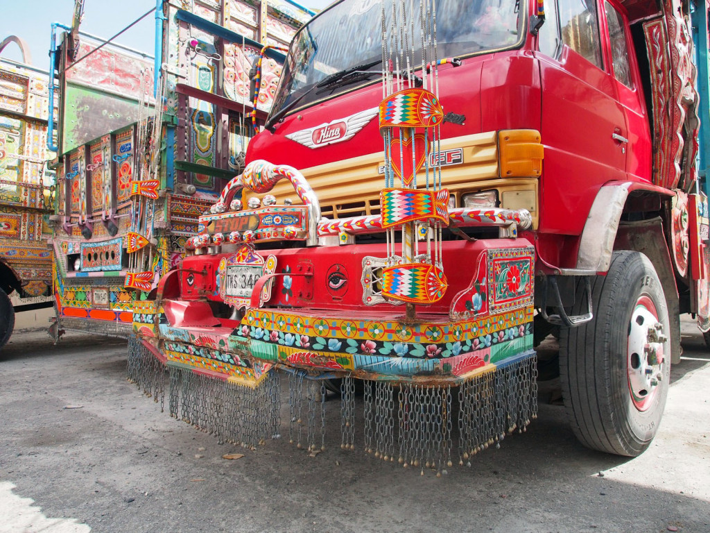
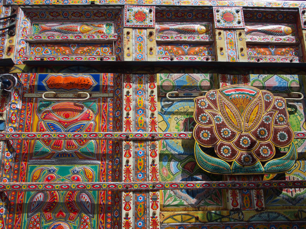
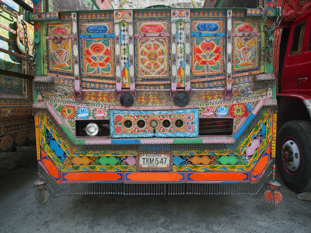
After a week of relaxing, the road was finally ready, and our Chinese guides had reorganised all the permits – so again, we set off north. While fuelling up we encountered the stereotypical ‘jingle trucks’. The Pashtun drivers spend almost all their profit painting and decorating their trucks, including lines of bells and metal plates hanging off every vertical surface, so they can be heard over the engine at full noise!
Finally on the road again, we passed lots of damaged repaired sections, but nothing posed a problem.
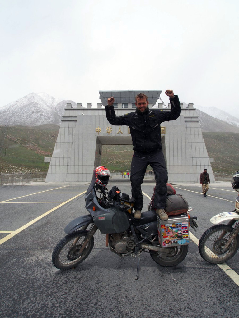
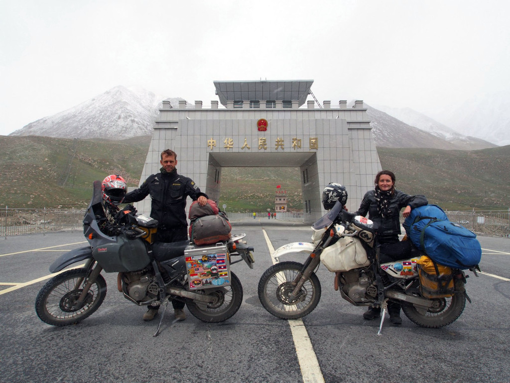
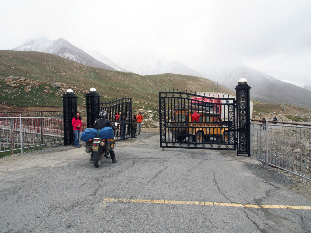
The last section of the Karakorum Highway rises steeply to the Khunjerab Pass, over 4,700 metres high. Although all the border formalities are taken care of in Sost, 80km from the actual border, there’s a small outpost and a ceremonial gate. With snow starting to fall, we took a final few pictures and crossed into country number 12 – China!

