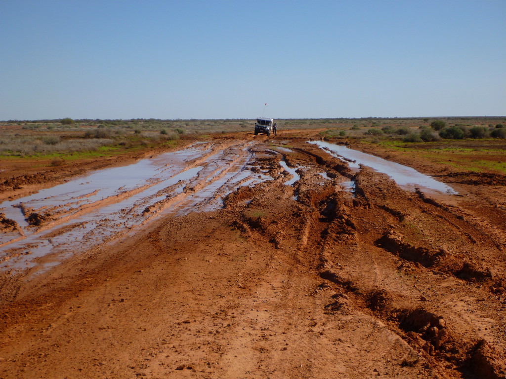
The first obstacle was to get back out of Mt Dare station, through the mud ringing the property. Fortunately by now we’d been worded up on the best route.

Then once out on the open road, there was a huge expanse of rocky gibber plain to traverse, interspersed with salt lakes and patches of sand.


The landscape started to look alien, like it belonged on the moon or perhaps Mars.


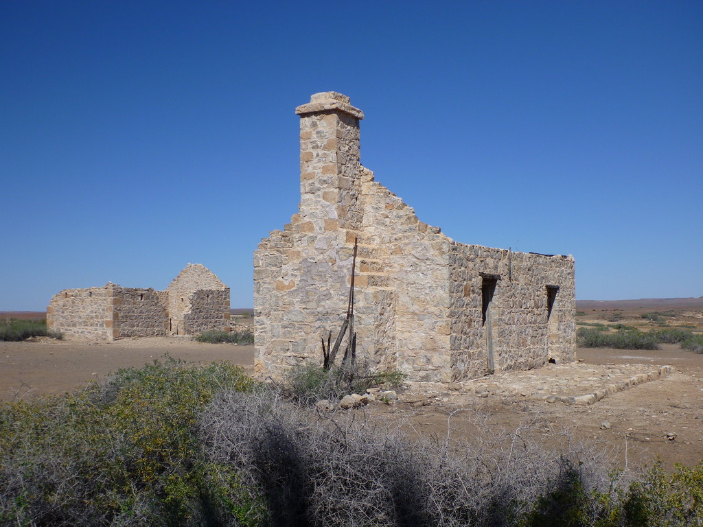
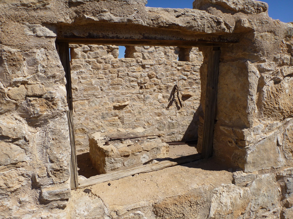
The Dalhousie ruins are a feature of both the Simpson Desert crossings and the Oodnadatta track, so they’re fairly well preserved and looked after. If ever there was a place to illustrate how hard it is just to survive in the outback, let alone make a living, this is it.


The final piece of anything vaguely civilised is at Dalhousie Springs, a natural artesian spring flowing water at a pleasant 37 degrees – great for a relaxing swim and soak.

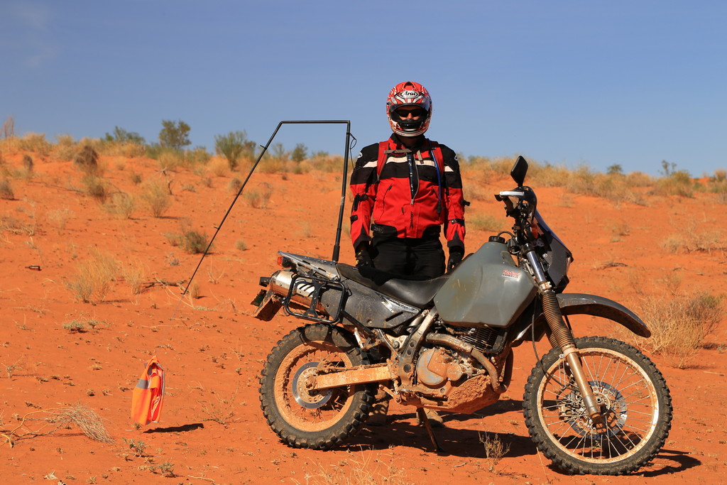
This is the official start line for crossing the Simpson Desert.


The road is either sharp and loose gibber rocks, badly rutted ex-mud flats, or soft and corrugated sand – or a mix of all three together!


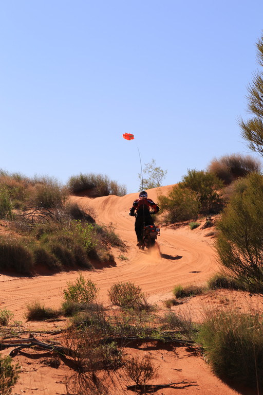
Soon enough, you start encountering the first sand dunes, only a few metres high at this point.


This westernmost part of the track is fairly easy to negotiate, having had a hard clay capping installed in the 1960’s as part of oil exploration efforts. Only the tops of the dunes were soft sand.

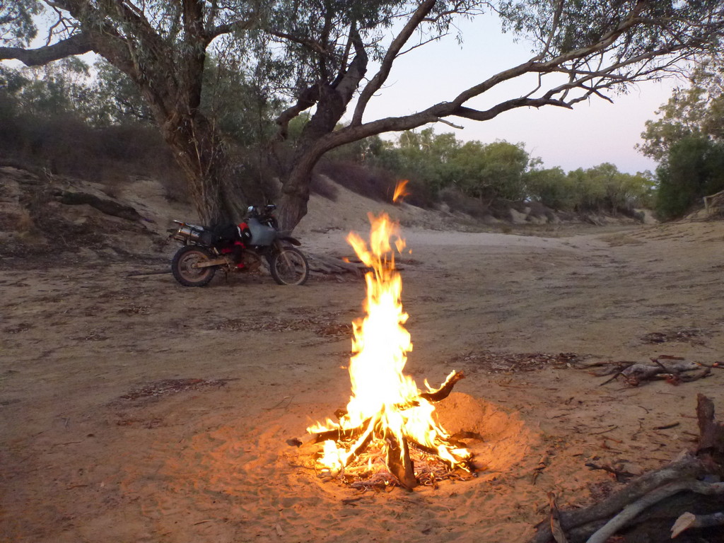
Around 100 kilometres in, we stopped at our first campsite on the road. No formalities, just pick a decent looking spot off the track in between dunes, and set up camp.


The next day we made the decision to continue along the French Line – the most direct, most used, and most difficult of the tracks. Usually the track is more chopped up and the dunes harder to climb, both from being taller than further south, and the extra traffic.

The tops of the dunes are always the softest – you need to carry enough speed to carry you up and over, onto the downhill run.

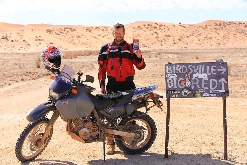
Some wag put out a sign that I thought appropriate for my support vehicle.

The desert seems endless and time blurs as you tackle one dune, descend the other side, then track on through endless moguls surrounded by spinifex and saltbush.


Tackling the dunes usually takes a fair bit of throttle, balancing the wheelspin and maintaining balance on the soft sand. It’s nice having someone else along to take action shots!


Sometimes there’s just not enough throttle to get over the last little soft bit – I got bogged a few times, mostly earlier on.


At one point I started to pass through an area of Gidgee forest, Acacia trees that take hundreds of years to grow to full size, in the limited water environment.

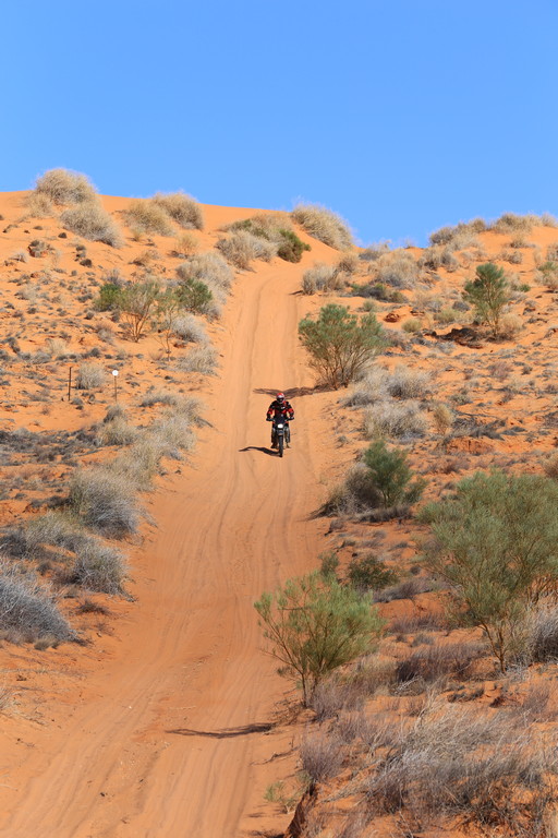
The dunes also keep growing taller.

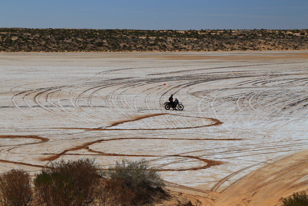
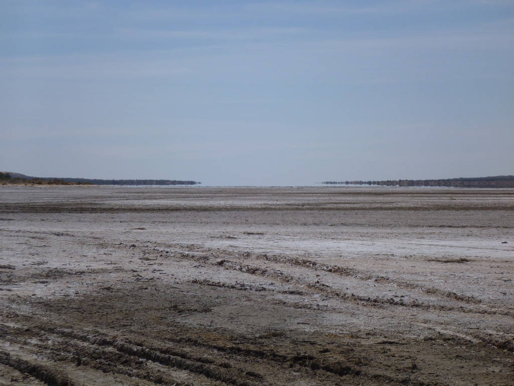
Around the half way point, I started to cross some salt pans, which provided some welcome relief from careful throttle control! I left my initials there.
The various tracks all converge as you approach Poeppel Corner, the junction of three states: the Northern Territory, South Australia and Queensland.


Heading north for a while, the way skirted along a massive salt pan almost 30 kilometres across. Once again, who could resist letting loose a bit on the the smooth salt crust?


Soon enough though we were heading East again, aiming for Birdsville.


Both the dunes and the spaces between them started getting larger – most dunes were approaching 30 metres in height now.


The only mechanical issues I faced on the crossing were a bent gear lever from a slow drop (soon bent back into place), and a broken sand flag – fortunately bikes aren’t actually required to have them, it’s just a safety precaution.
As the shadows grew longer, we were approaching the edge of the desert, but decided to stop for the night. We decided to stop for the night and have an easy run into Birdsville the following morning. Eyre Creek, one of the major feeders of Lake Eyre, made an ideal site – fortunately it was completely dry! On the rare occasions it does actually rain, this creek floods and becomes unpassable.


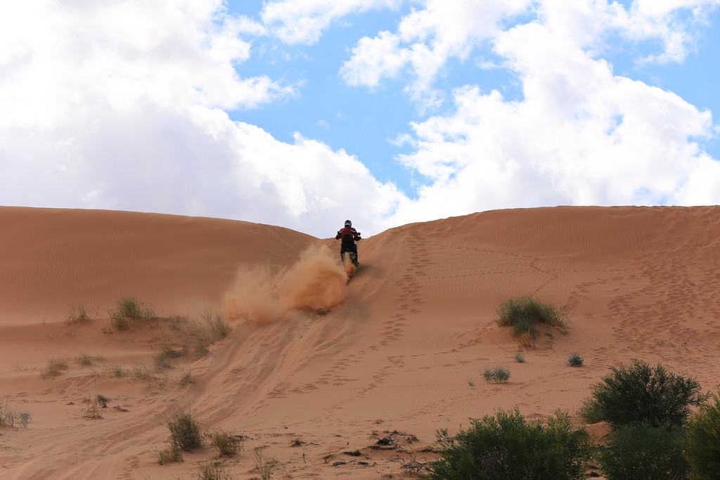
After a fairly quick run, it was time for the desert’s final challenge – “Big Red”, a very large sand dune 40 metres high. It also happens to be the name of a popular tomato sauce here!
There are four tracks of varying difficulty up the dune face, I decided to have a try at the most difficult. First attempt I got bogged around 5 metres from the top.


The second attempt, carrying a little more speed, I made it all the way to the top!


I stopped for a while at the top, taking photos of the “bus” trying (and failing) to get up, and admiring the view.


At the bottom, it’s time to pump the tyres back up and cover the quick run back into Birdsville, a charming outback town.


Wow, you’re a hard man! Well done!