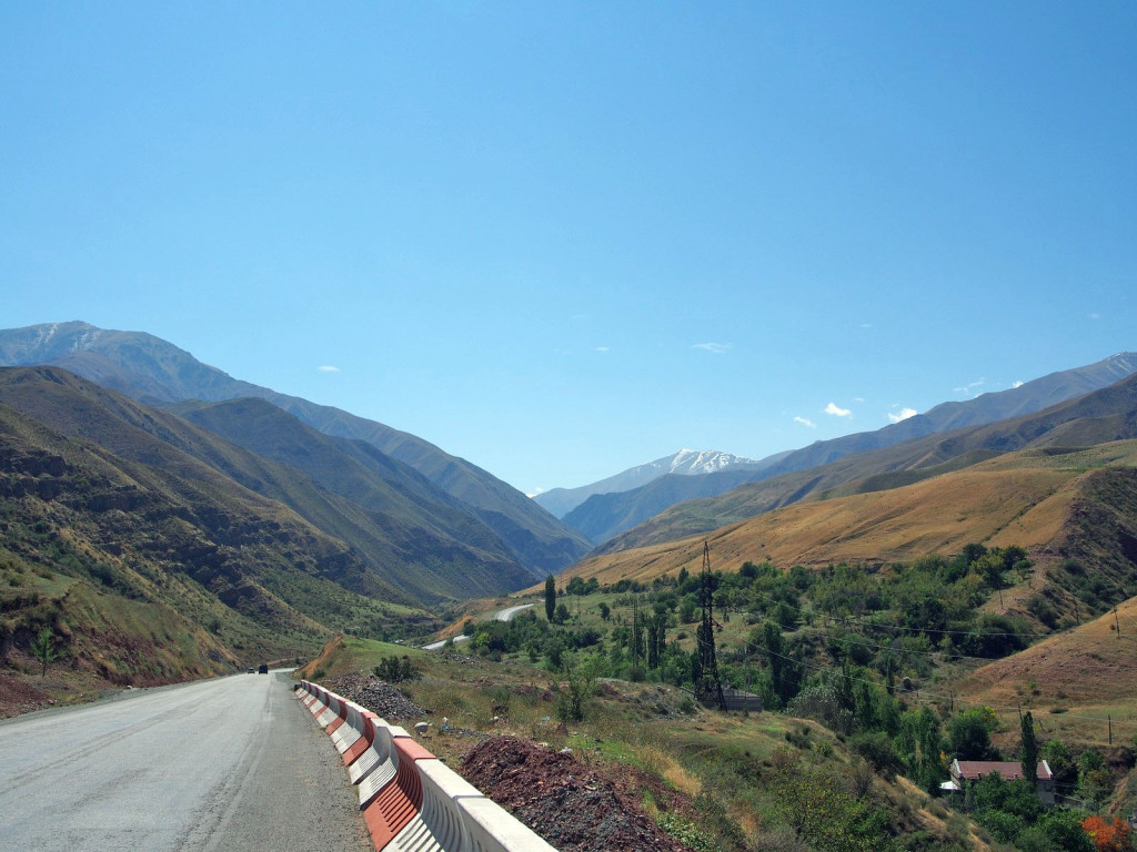
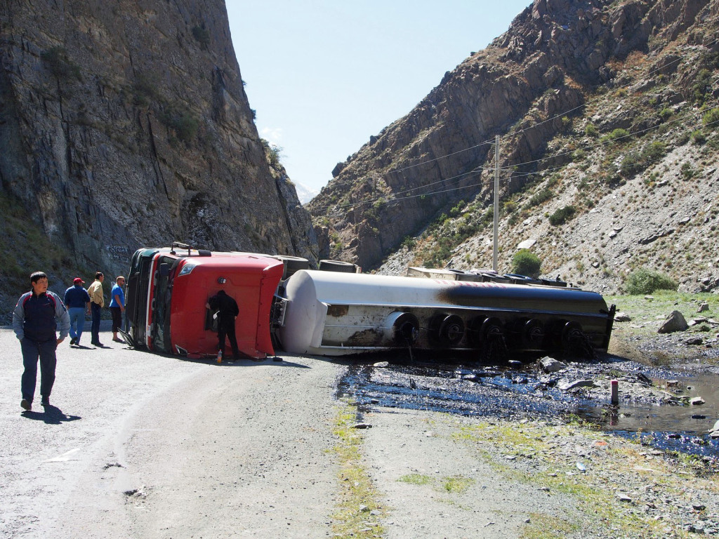
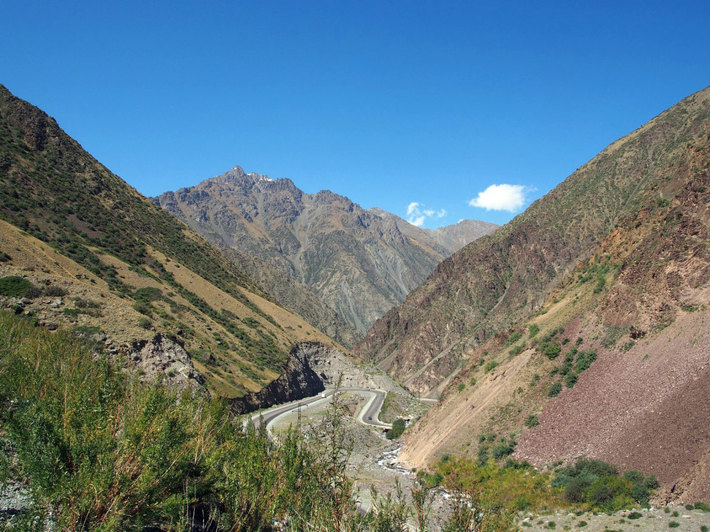
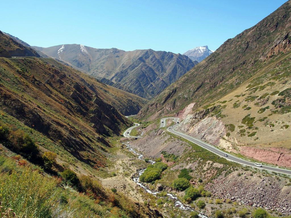
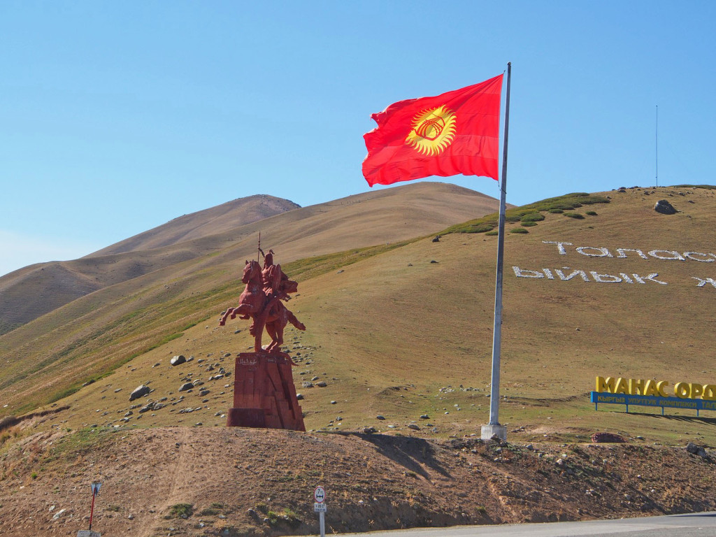
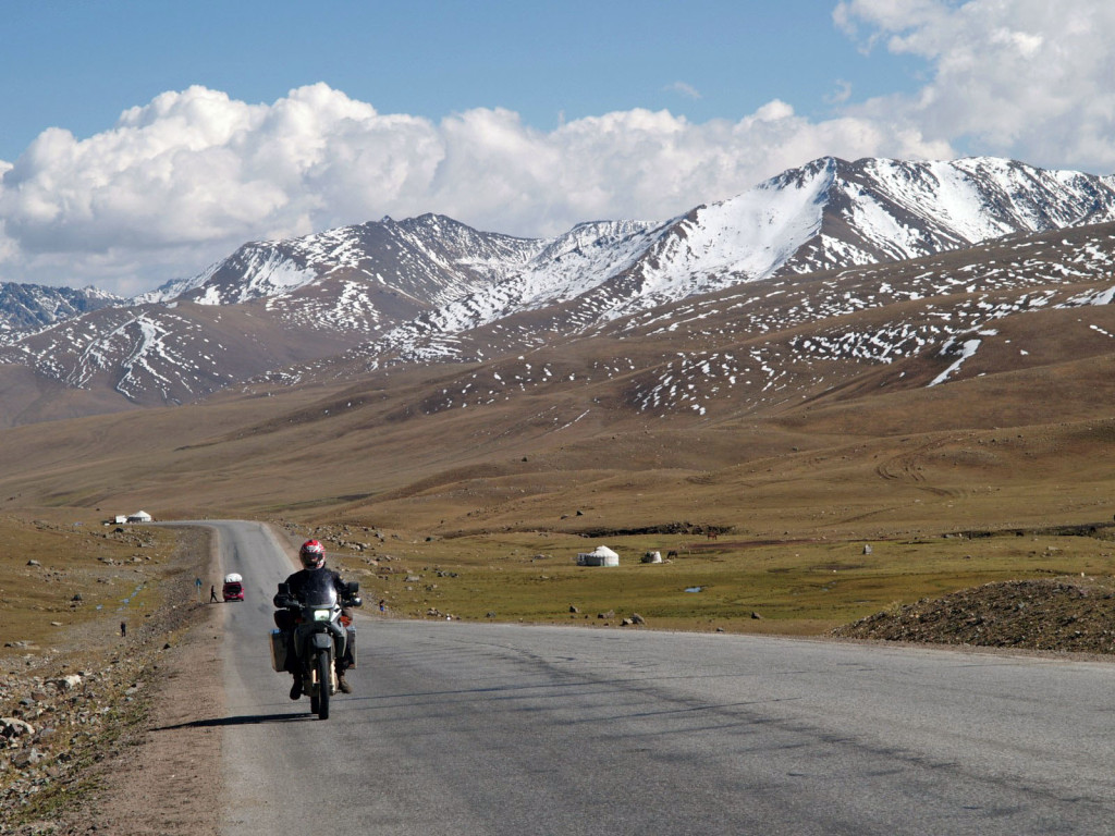
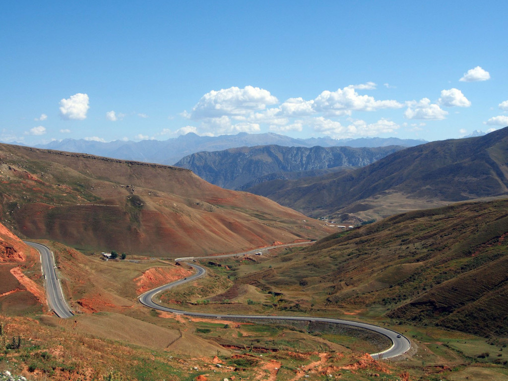
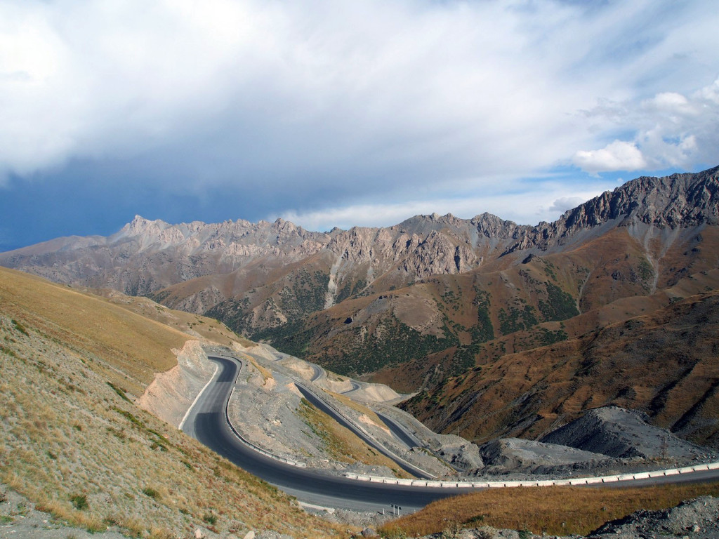
Finally back on the road, we took the road south towards Kyrgyzstan’s second-largest city, Osh. Winding through the same mountains as the Ala-Archa National Park, it climbed and dipped while we dodged trucks and minivans doing insane speeds.
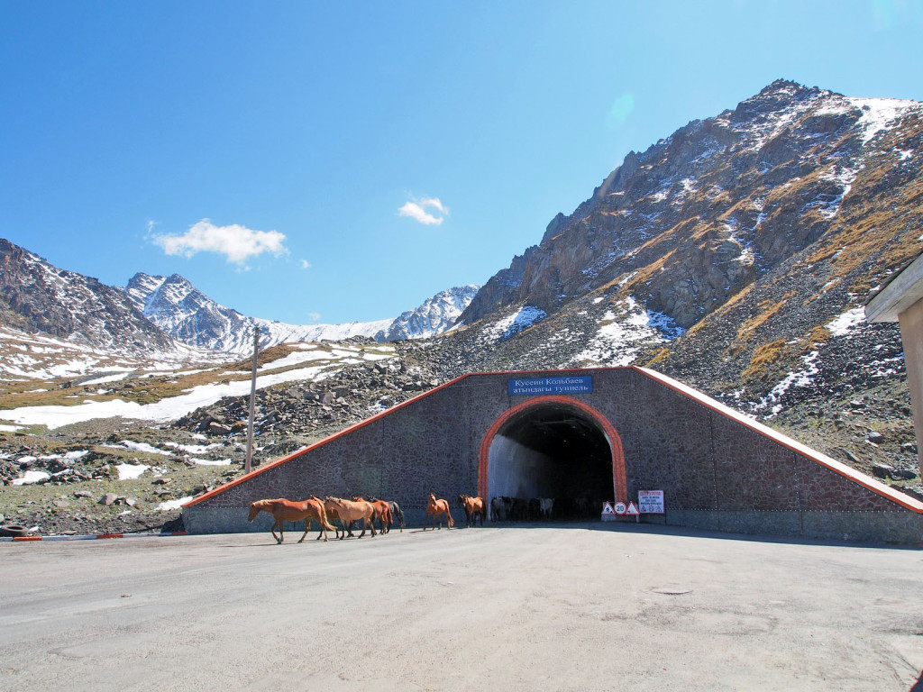
At one point there’s a two-kilometre long tunnel through the mountain at the top of a pass; we were held up while a herd of horses and cattle were ushered through.
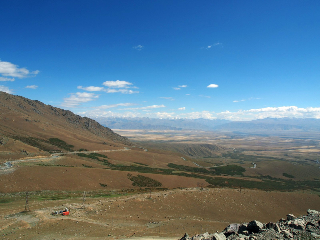
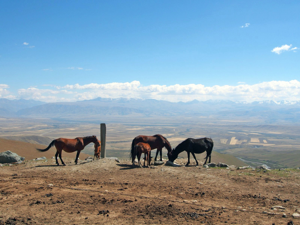
The other side empties out onto a vast valley, before climbing again to another pass.
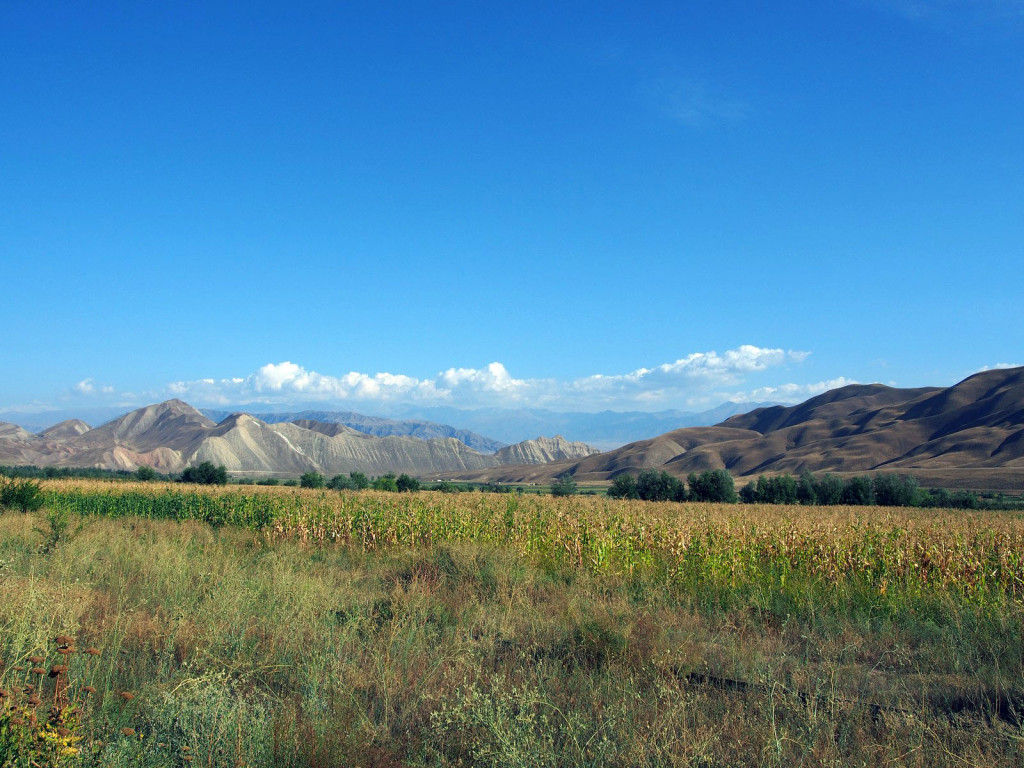
From the freezing cold pass and its biting wind, we dropped back out onto a fertile plain, where the heat quickly built up – we were changing our clothes a lot on this leg!
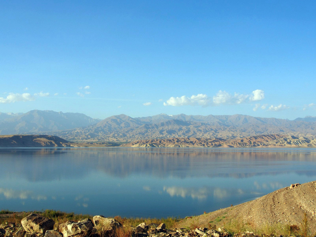
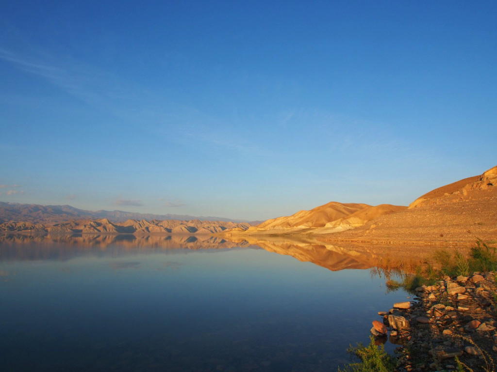
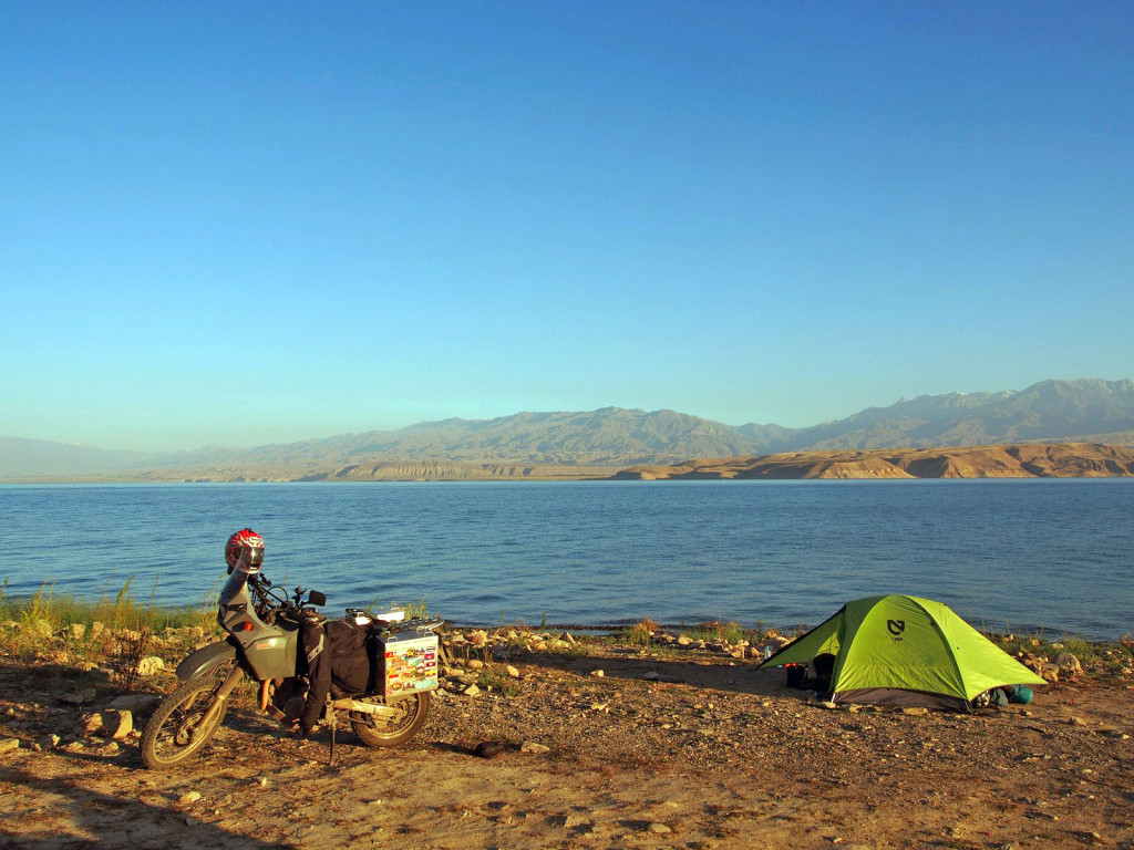
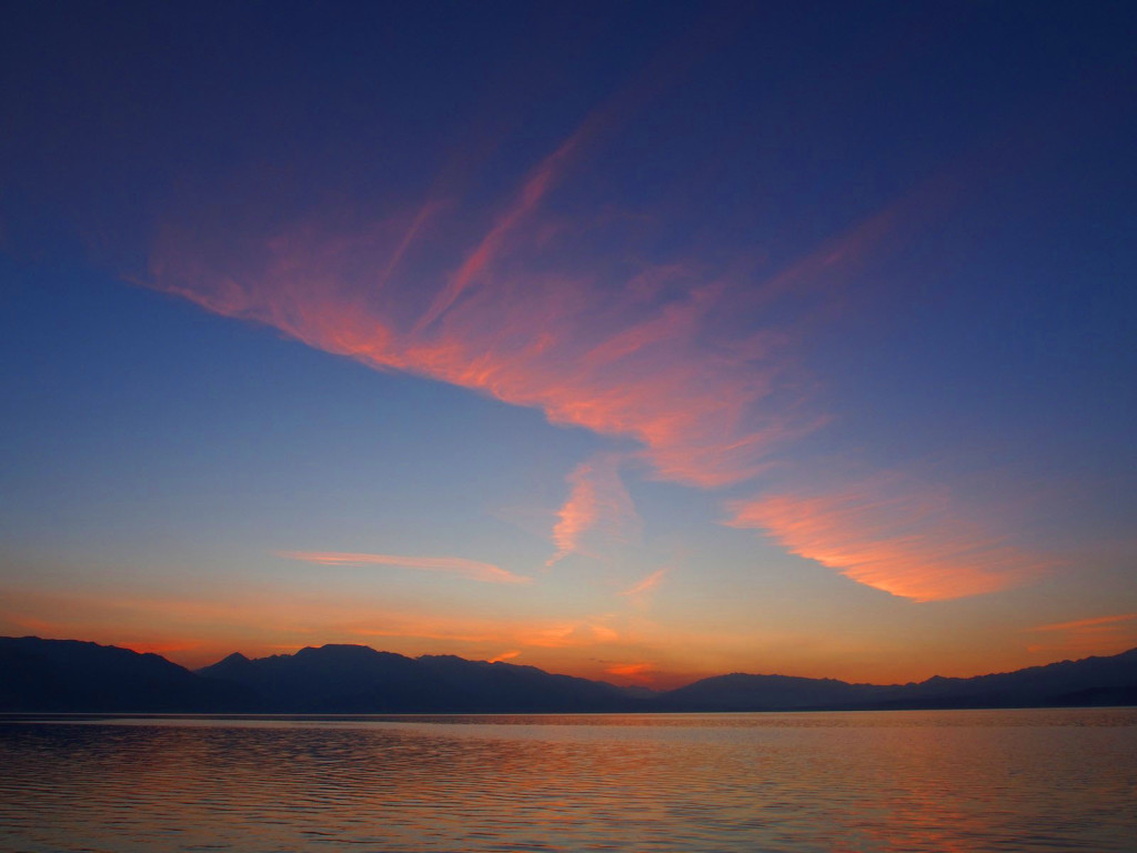
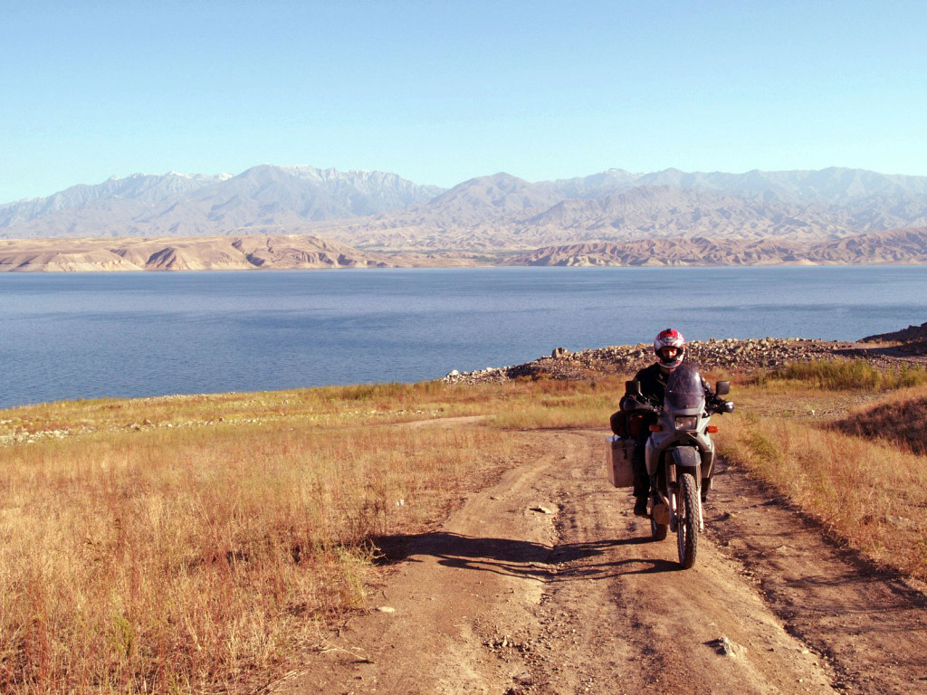
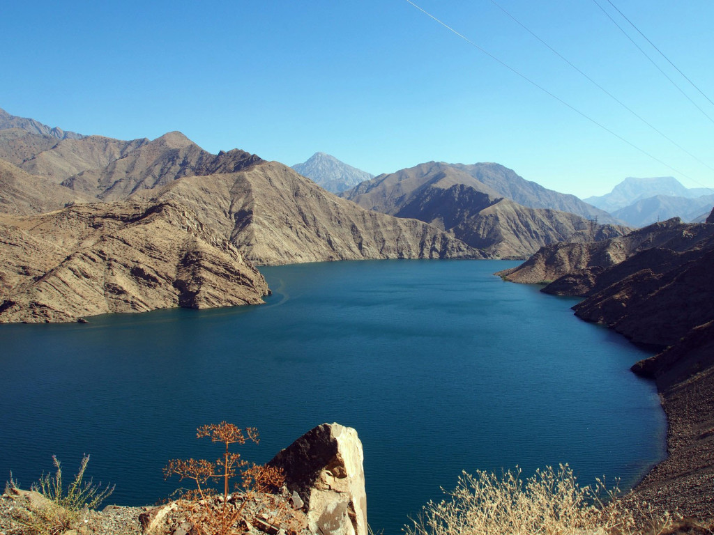
The road then skirts a vast reservoir, Toktogul. As the day was getting late, we stopped for supplies and found a dirt track leading down to the water’s edge – a perfect campsite, all to ourselves.
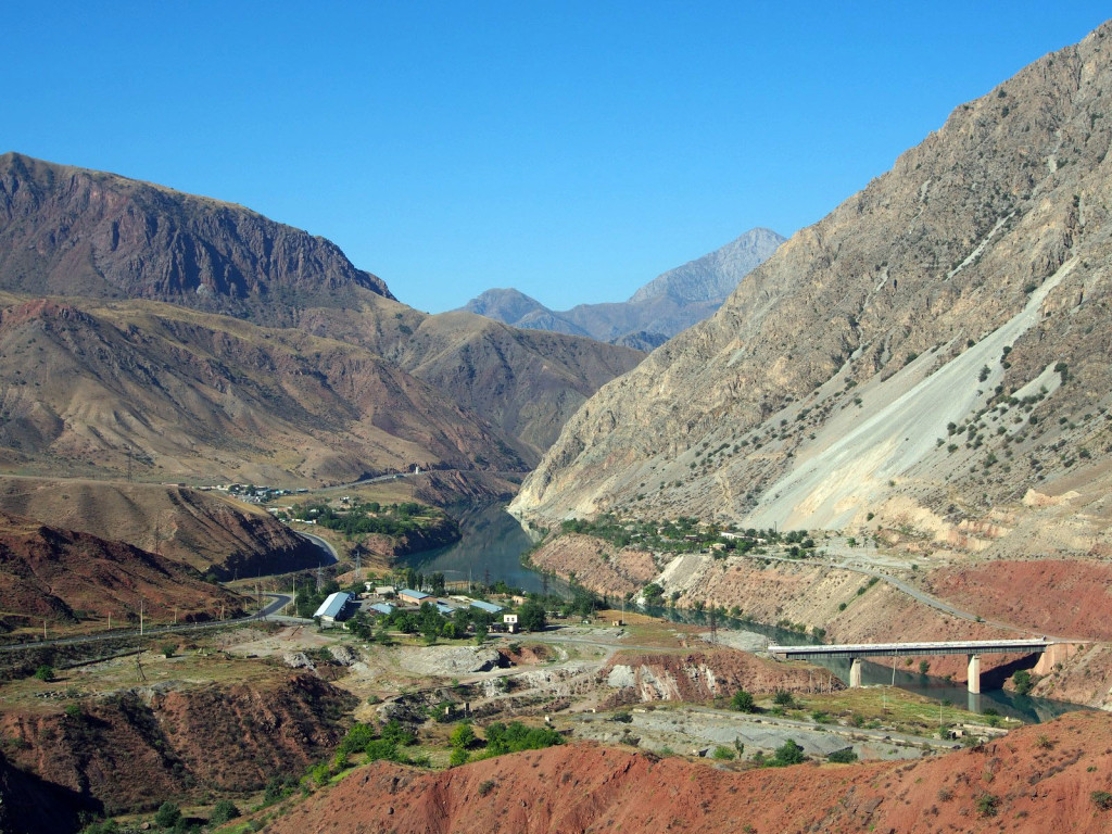
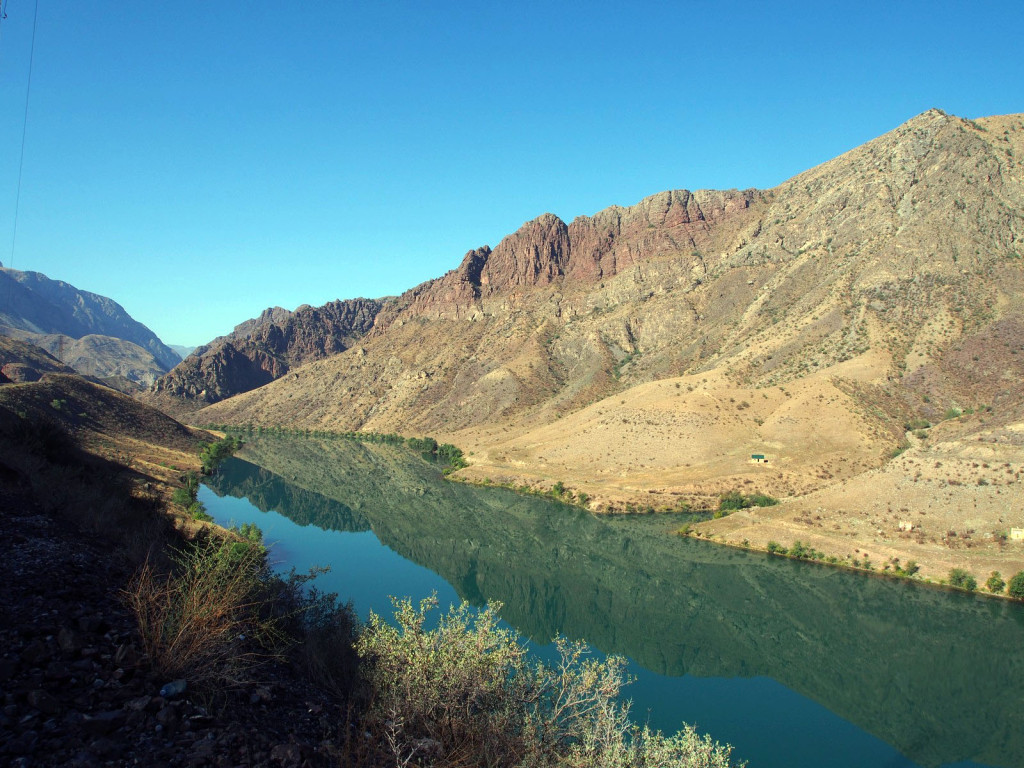
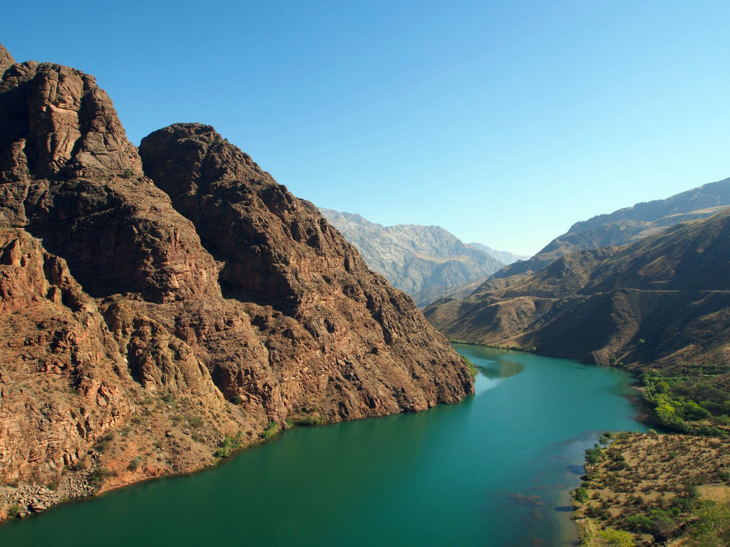
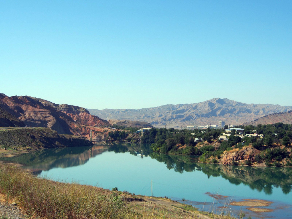
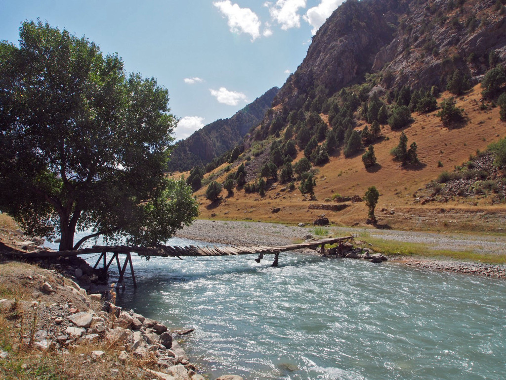
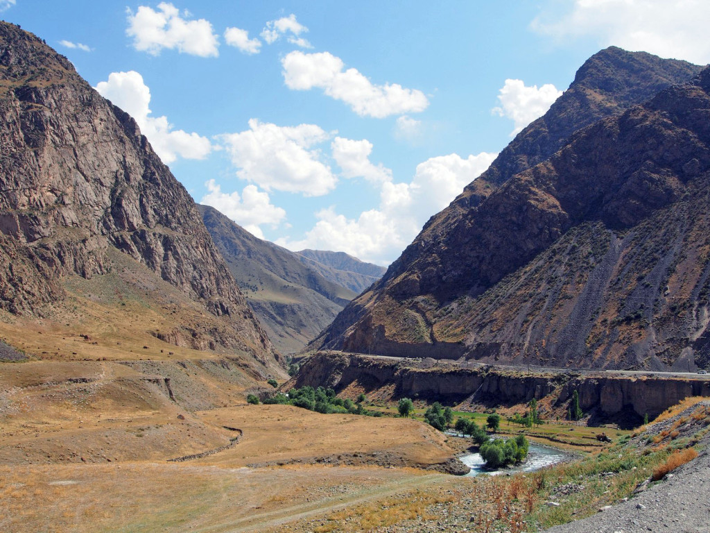
After a good night’s sleep, we pushed further south, following a canyon along the river, which soon turned into another reservoir, dammed for electricity.
The town here looked brand new; for good reason: the old town was flooded when the dam was built.
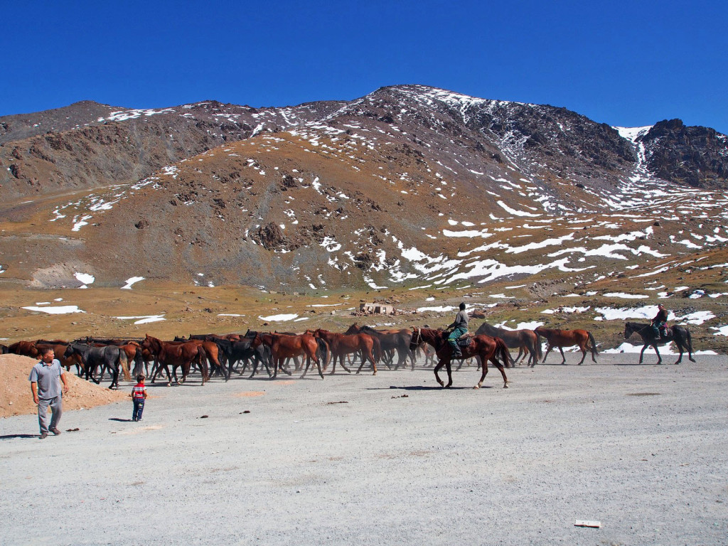
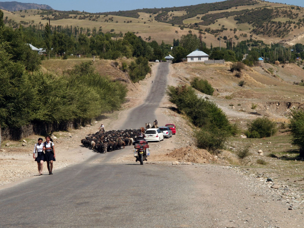
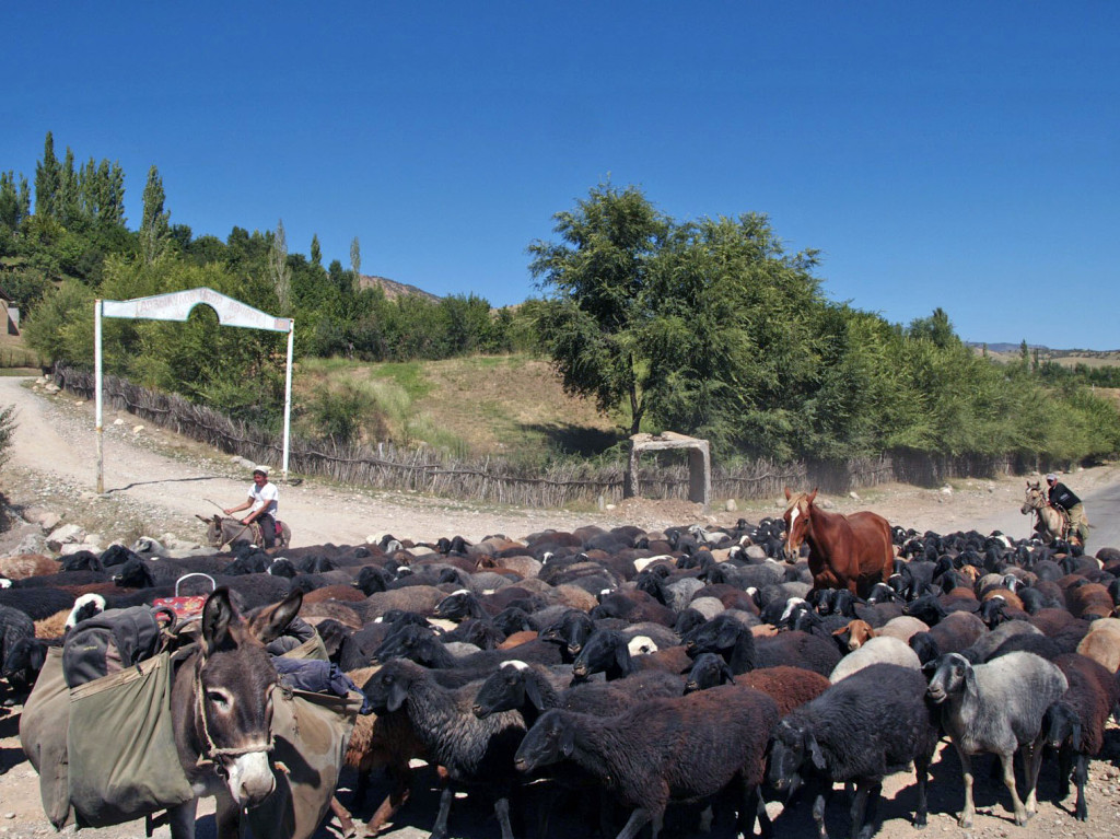
In the rural parts of the country, every few kilometres the road is blocked by flocks of sheep, cattle or horses, being driven by their shepherds on horseback.
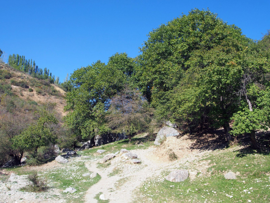
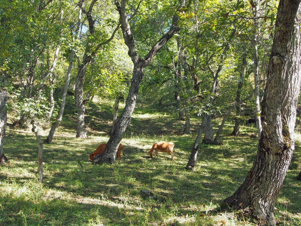
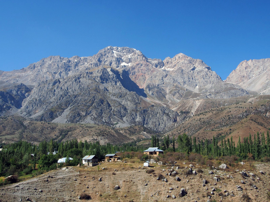
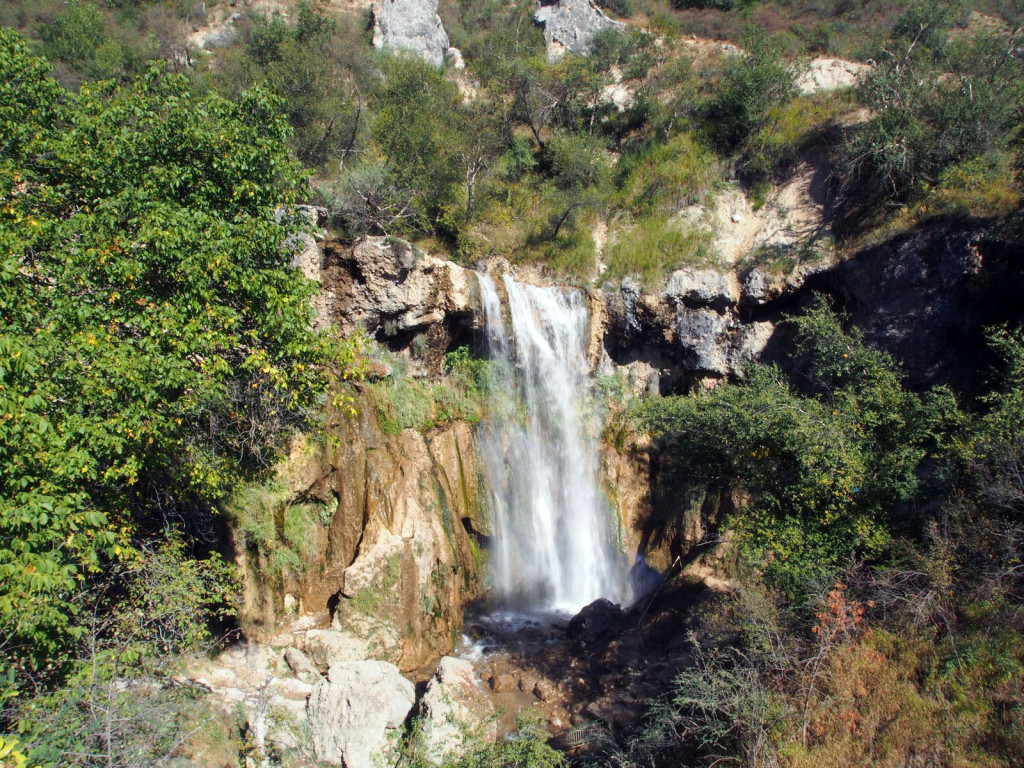
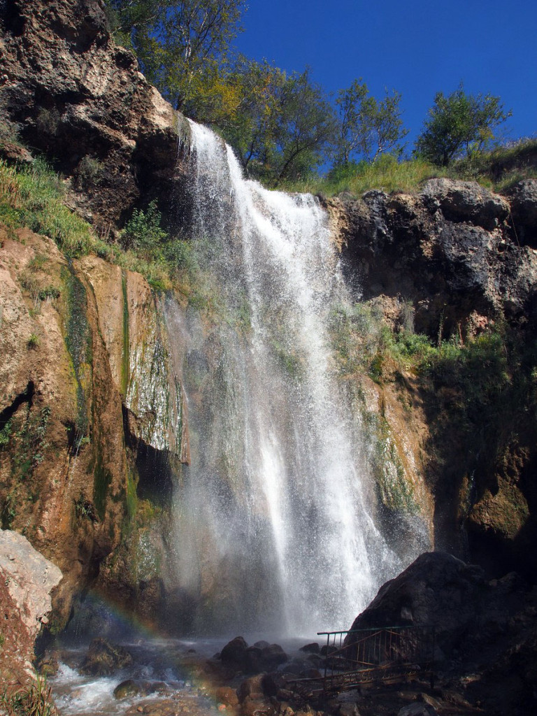
After skirting the Uzbekistan border for a while, we took a detour up to the village of Arslanbob, famous as home to one of the largest walnut forests in the world. Perched on a hillside, with sheer mountains looming in the background, it’s a pretty town. We took a short walk through the walnut groves and to a local waterfall.
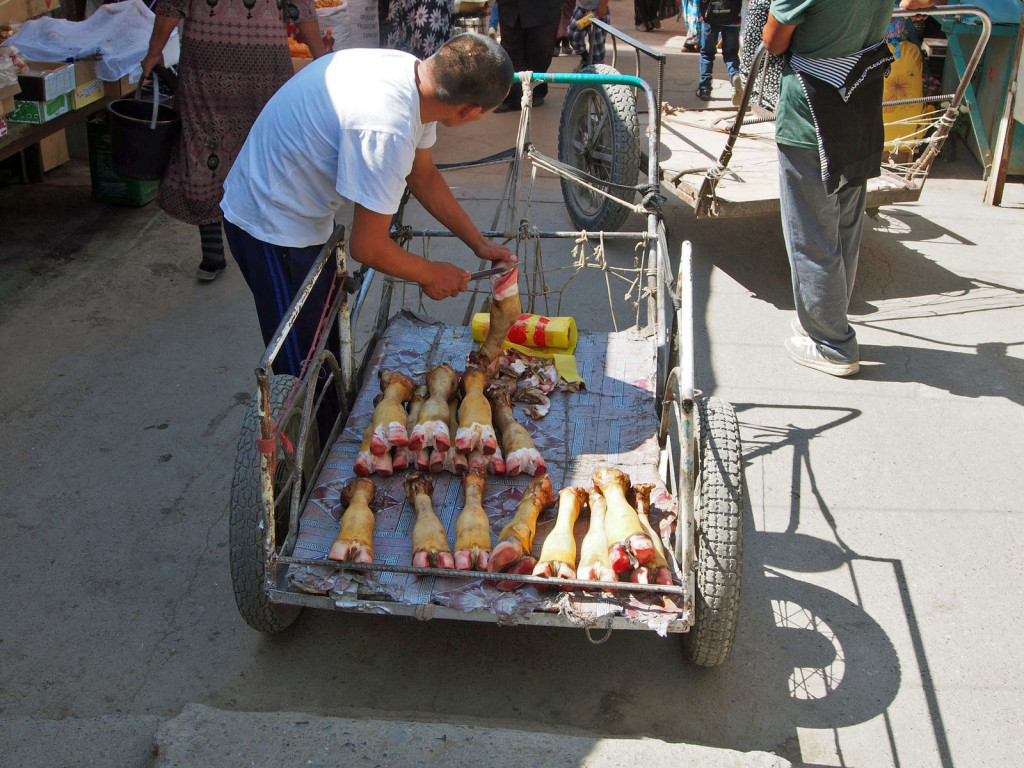
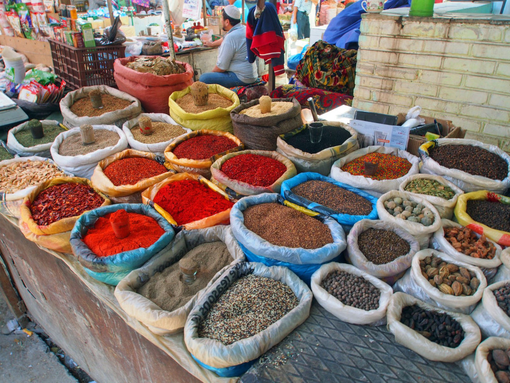
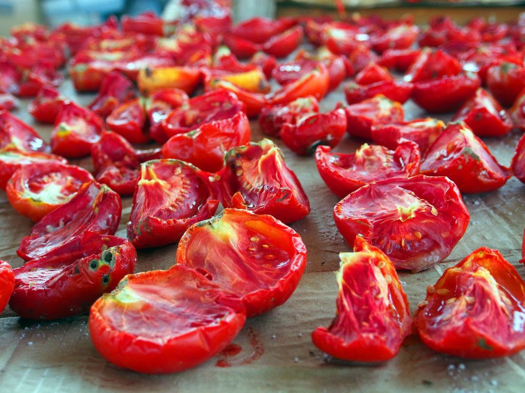
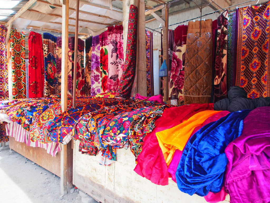
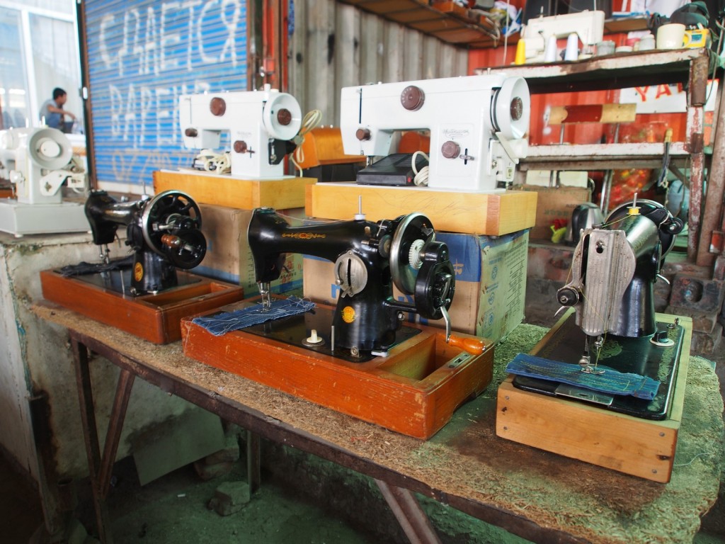
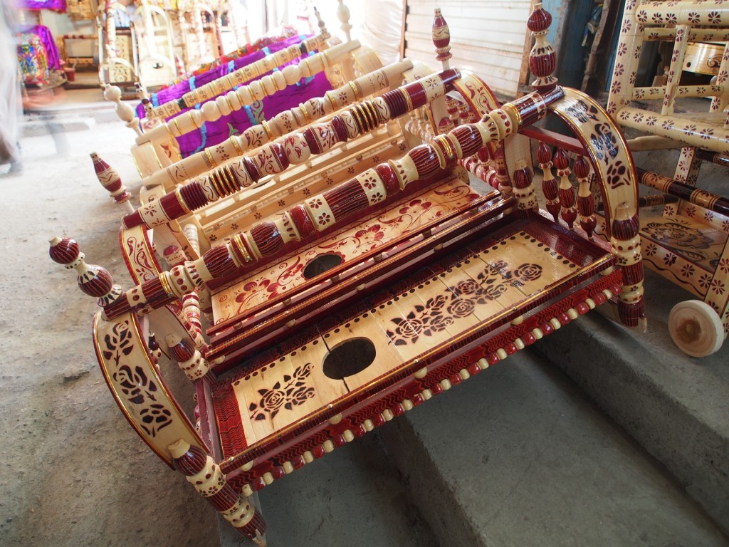
We arrived in Osh just as darkness fell, and slept well after a day of almost 500 kilometres. With a single rest day in Osh, we set about sourcing new tyres from Patrik at Muztoo, who also gave us great advice on the roads ahead. With the bikes in his care, we set off to explore the local market – one of Central Asia’s largest. It had a much wider range than most of the other markets we’ve sampled so far, things old and new, clothes, electronics, and of course the usual food.
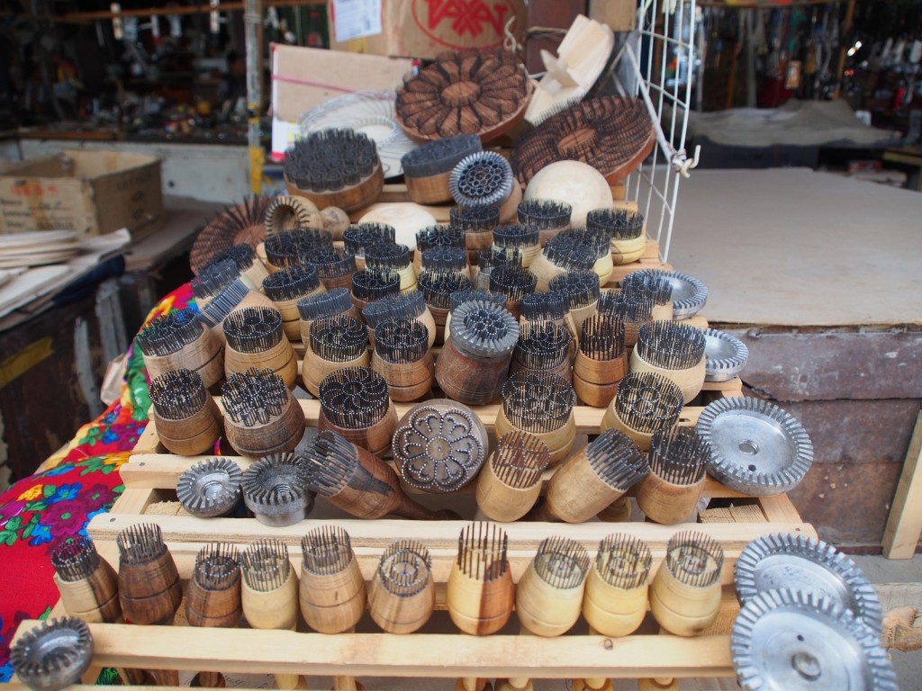
These stamps are used to imprint patterns onto the local bread.
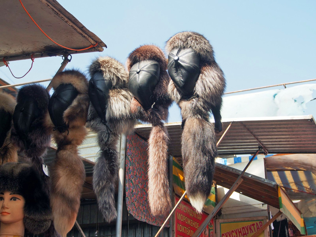
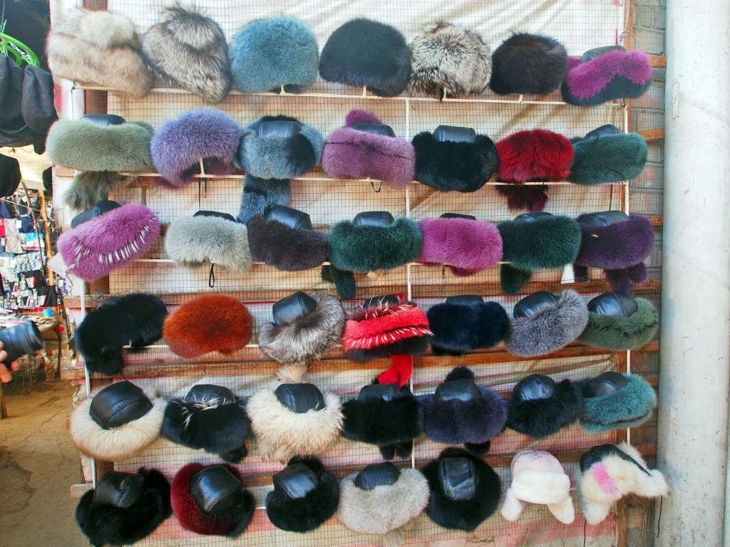
These hats were amazing, with a stall each for mens’ and womens’.
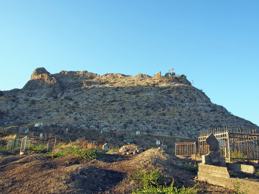
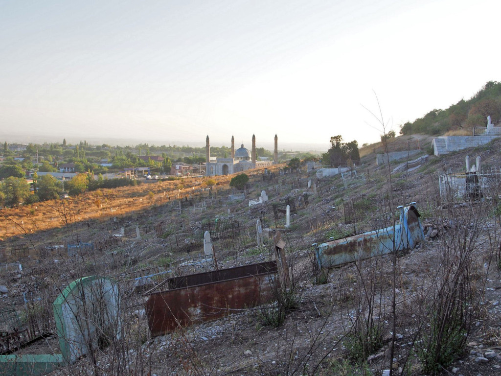
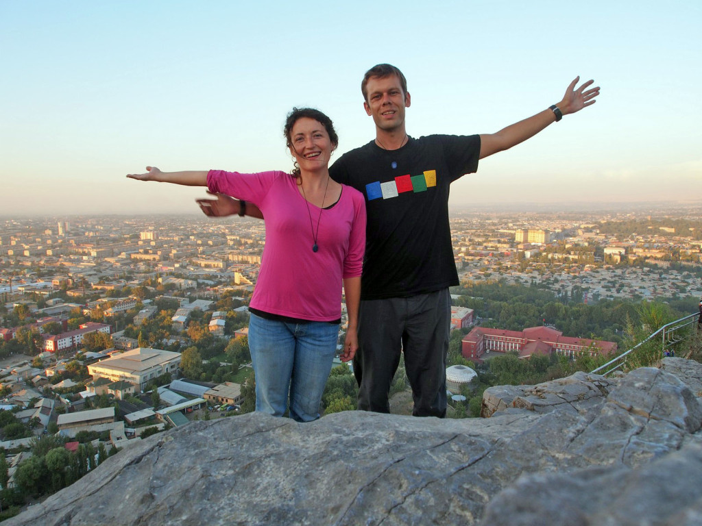
At the centre of the town, a large rocky outcrop dominates the skyline – Suleiman-Too Mountain. World Heritage listed as a pilgrimage site, legend has it previous visitors include King Solomon, Mohammed himself, and Babur (founder of the Mughal Dynasty). It’s a steep climb, through an old cemetery to the top.
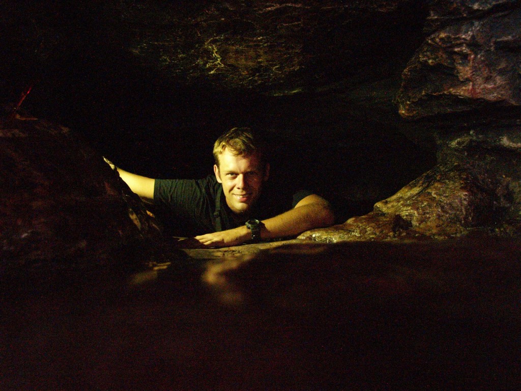
Halfway up there is a small cave tucked in to the side of the mountain, used by locals and pilgrims for meditation. Although you have to crawl in on your stomach, it’s not a problem since the stone has been worn down over the centuries to a perfect smoothness.
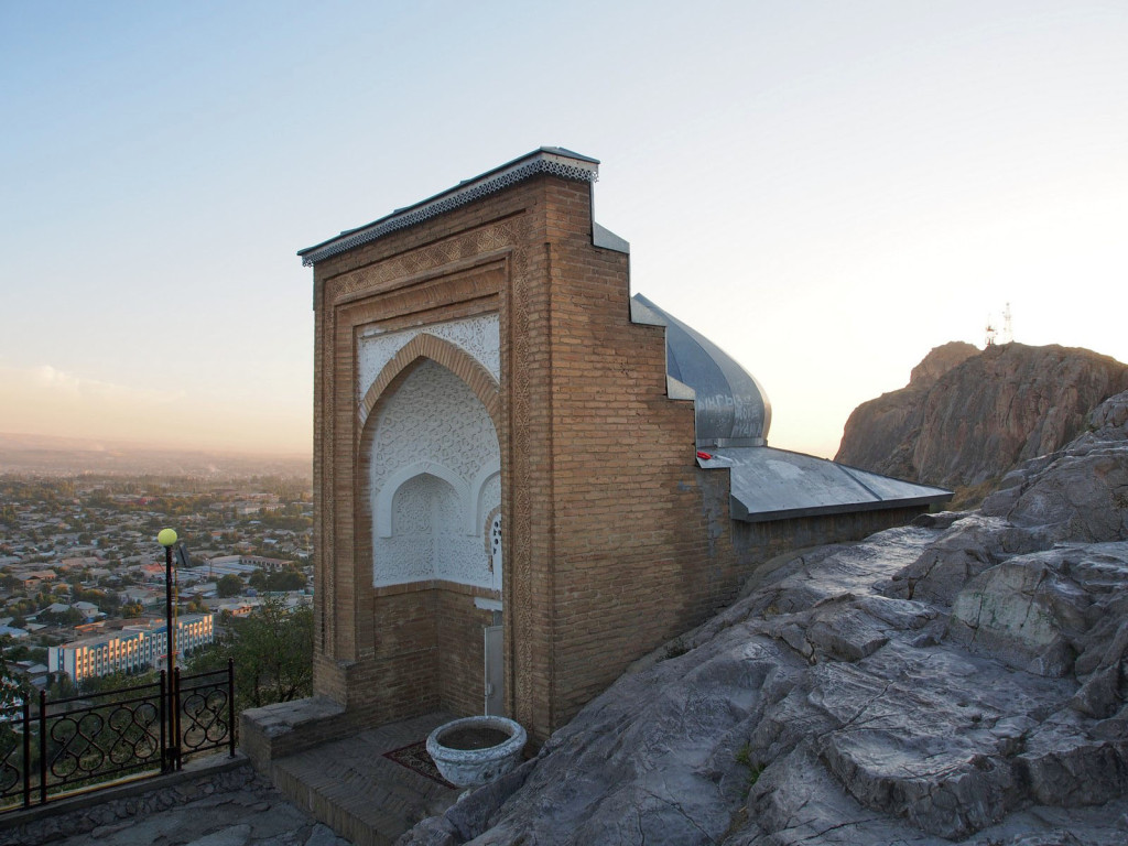
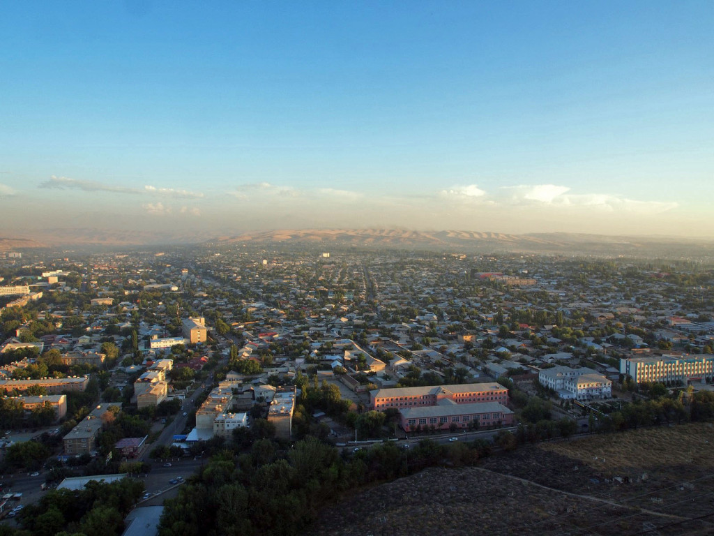
At the top, there’s a small prayer hall built by Babur, and a sweeping panorama over the city.
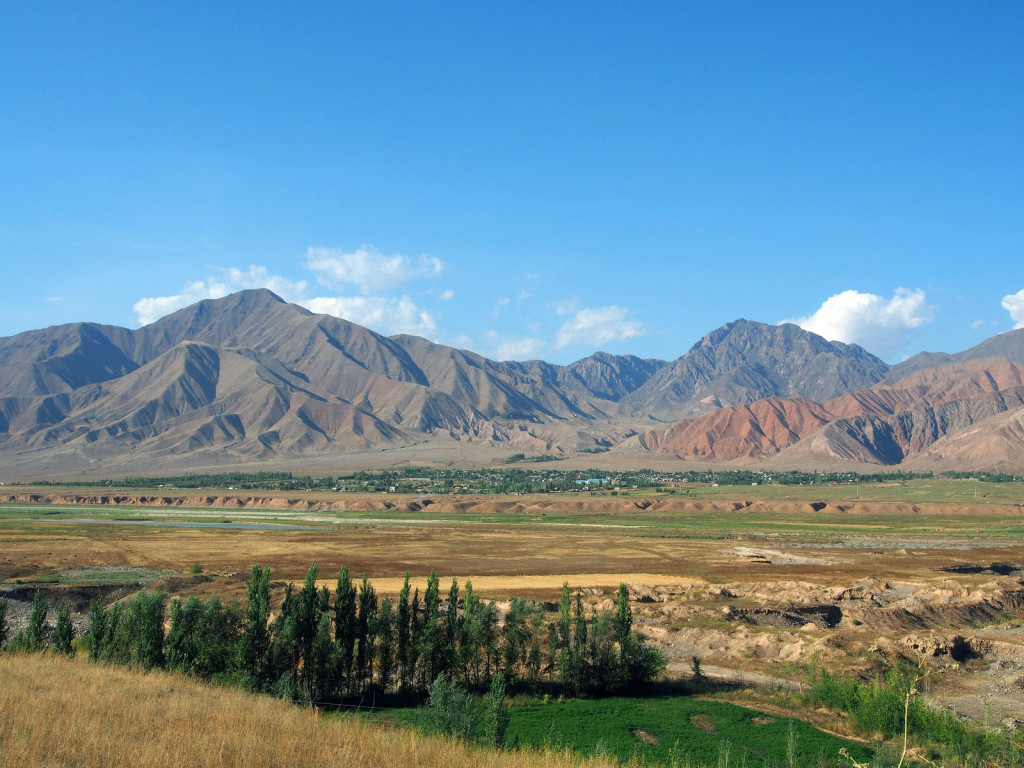
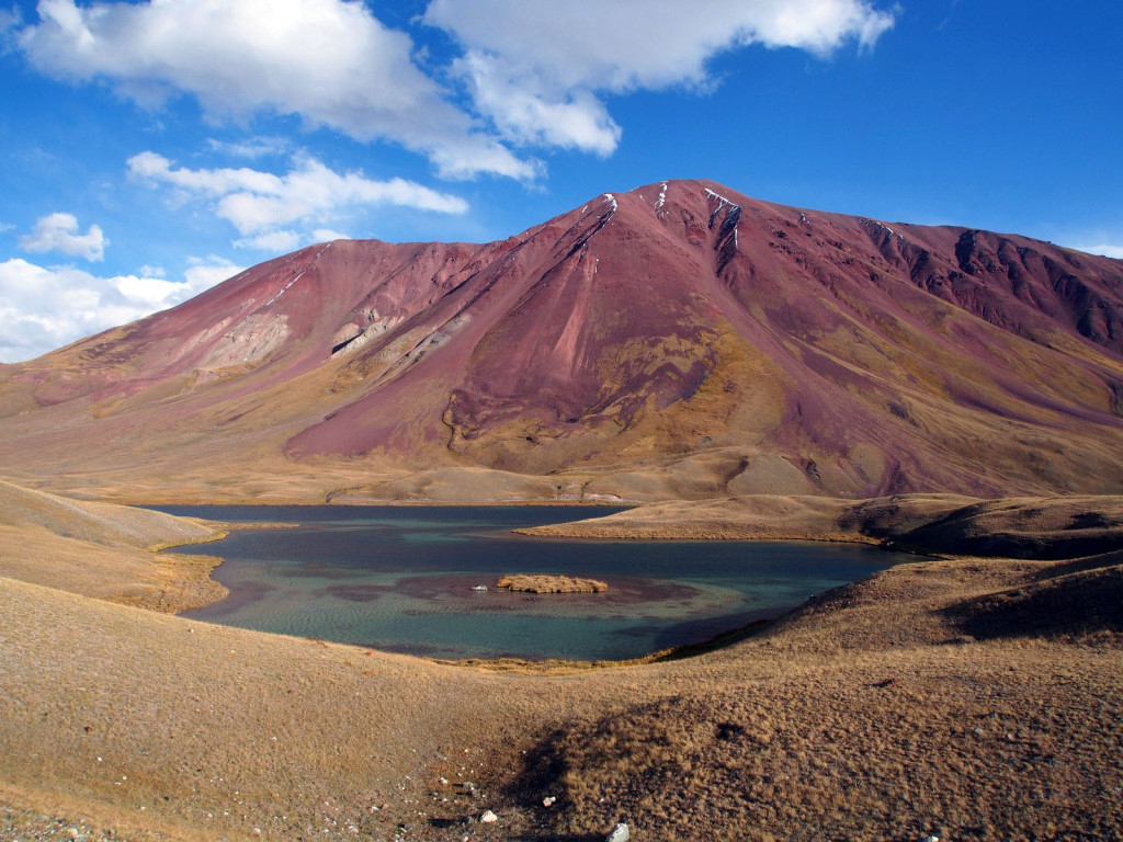
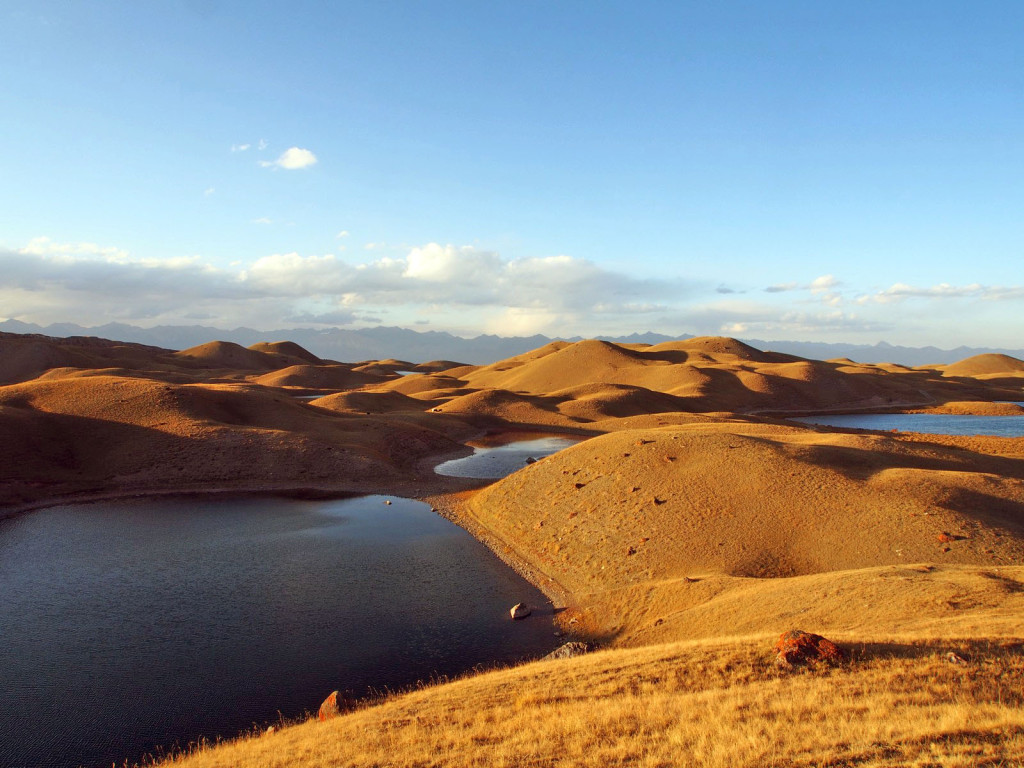
With the cold of autumn starting to bite at altitude, we kept moving south towards the border with Tajikistan, through the ever-changing mountain landscape.
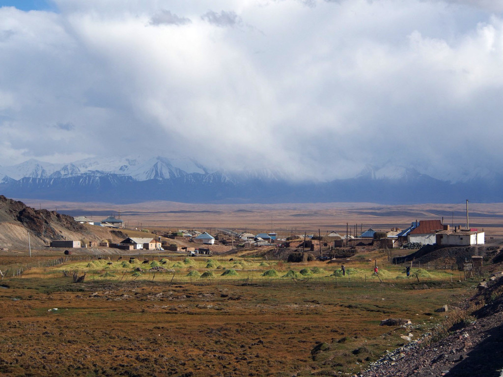
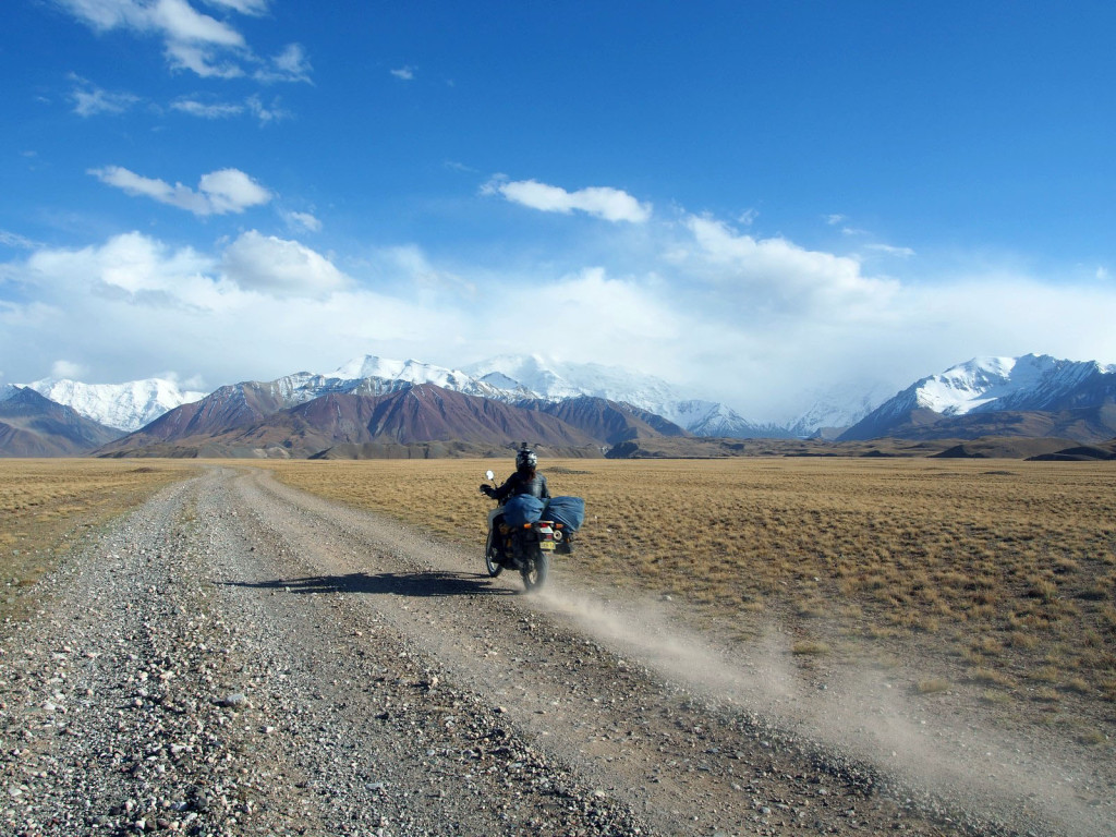
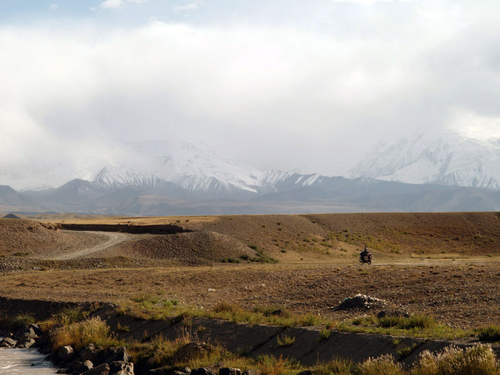
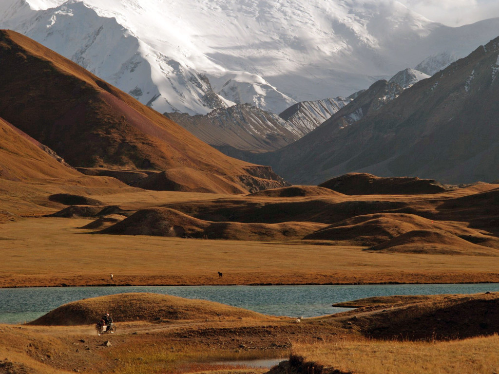
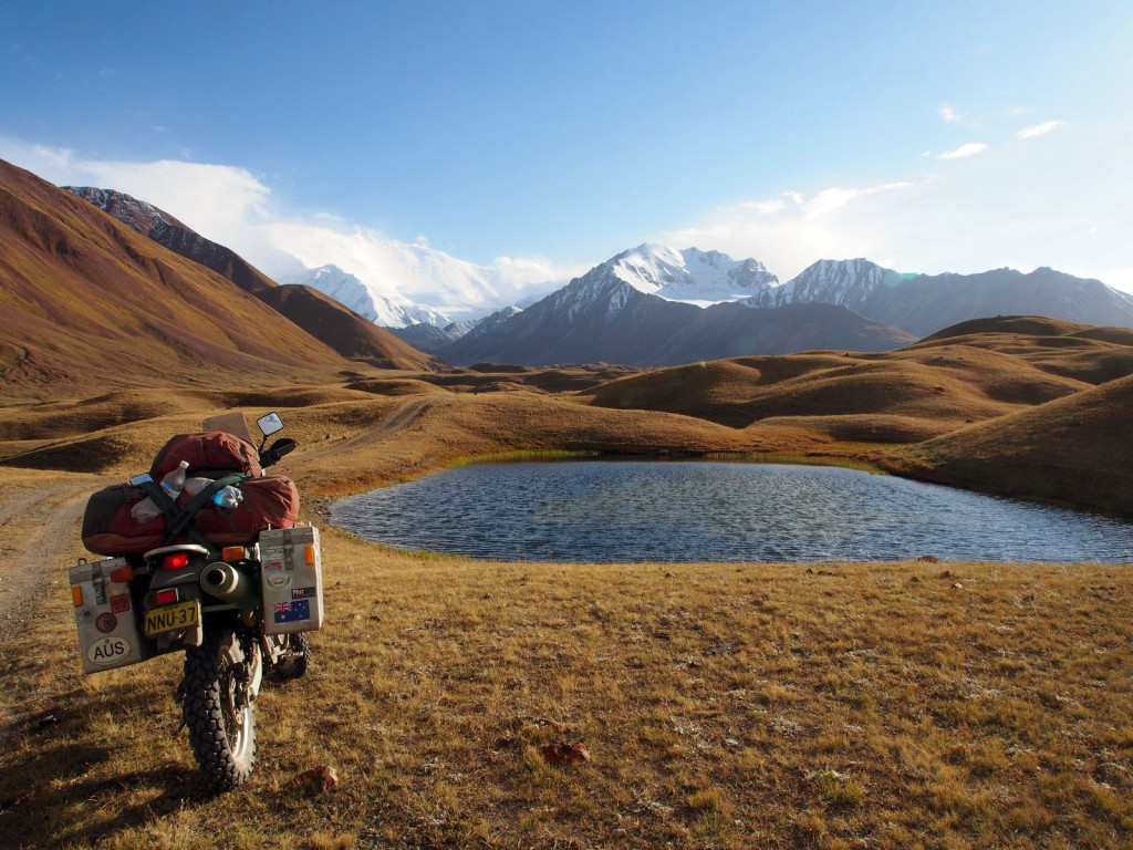
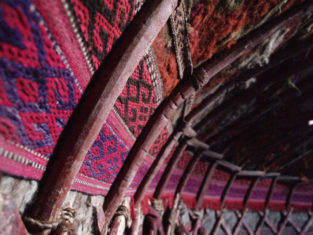
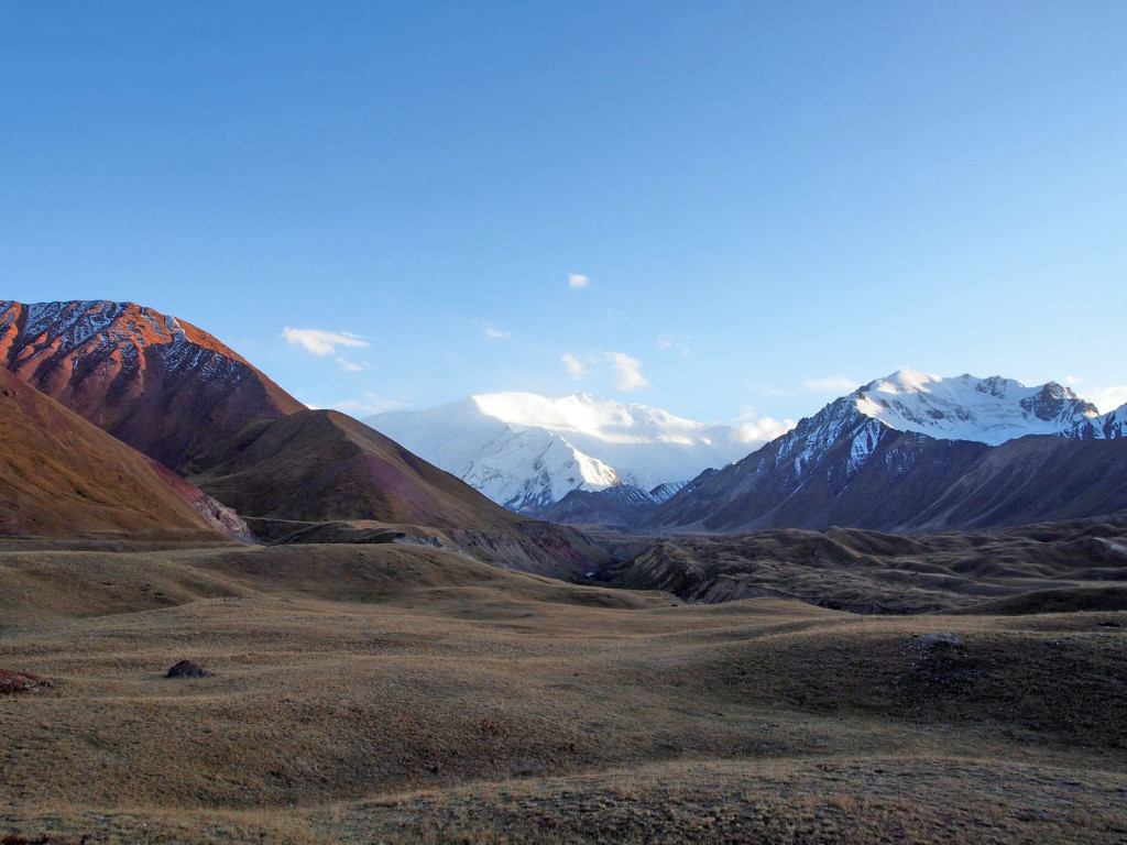
Our last night in Kyrgyzstan was to be spent in a yurt camp near the base of Peak Lenin – the ex-USSR’s highest mountain, and part of the border between Kyrgyzstan and Tajikistan. To get there, you go through a few tiny villages and then turn off onto a dirt track that heads directly for the snow-capped giants.
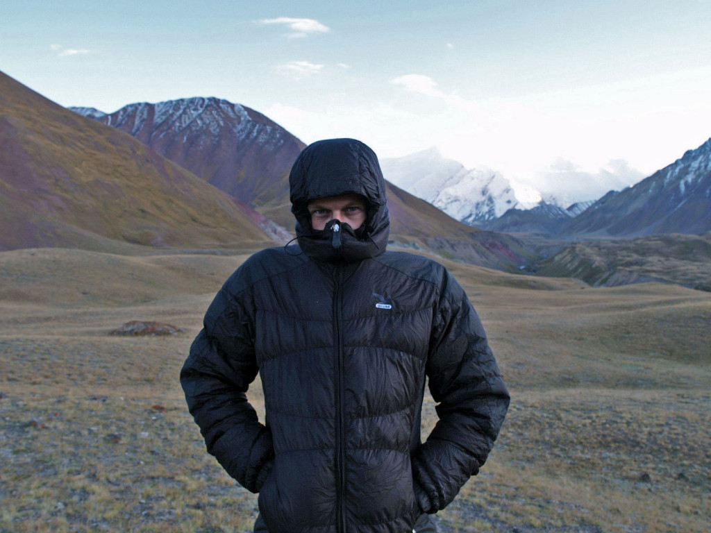
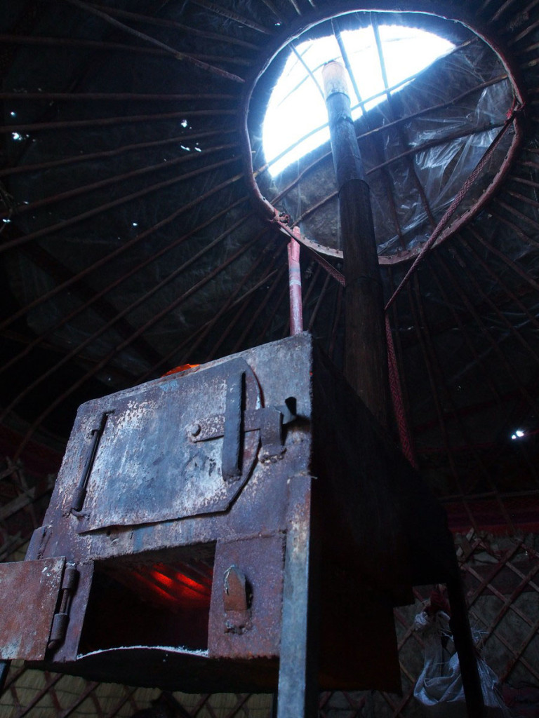
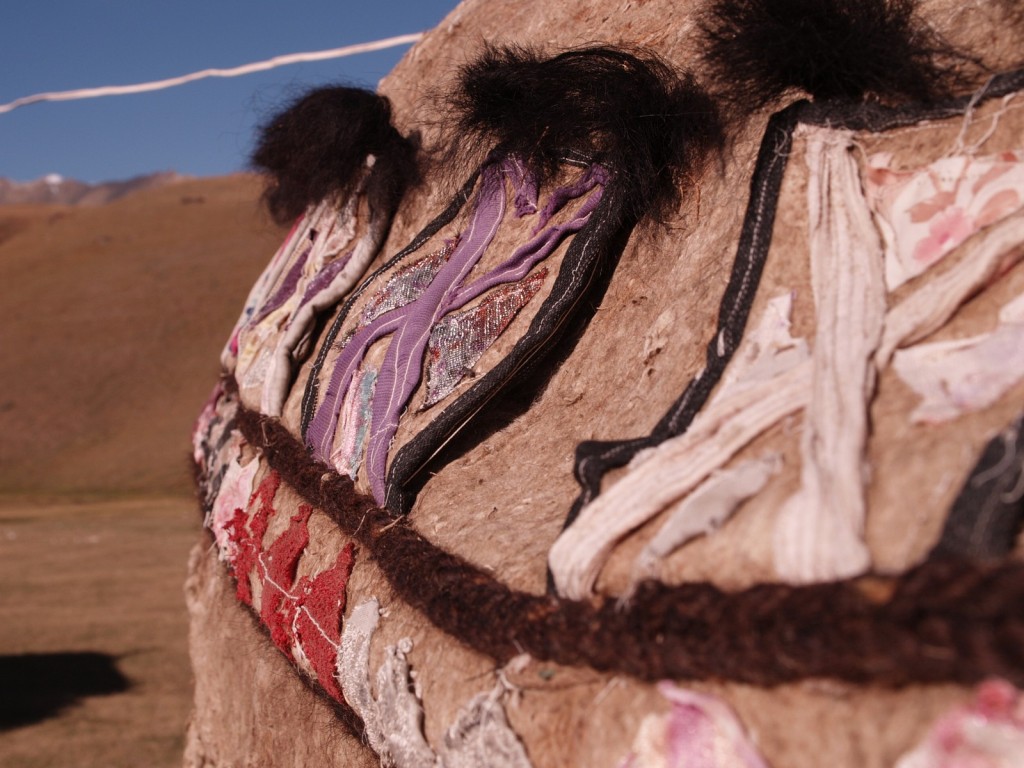
It’s bloody cold there, at over 3,000 metres, but the surrounding countryside is well worth it, including the odd glimpse of Peak Lenin through the clouds. Fortunately the yurts have a heater, fired by cow dung.
Next stop – into those snowy Pamir mountains, of Tajikistan.

