Technically the Pamir Highway runs from Osh, in Kyrgyzstan, all the way through the eastern half of Tajikistan and ends in Mazar-e-Sharif in Afghanistan – but the most famous part for overlanders is the stretch between Osh and Khorogh in Tajikistan. Before continuing down the main road south of Murgab, we took a day trip to do a loop into the Rangkul valley, near the border with China in Tajikistan’s far east.
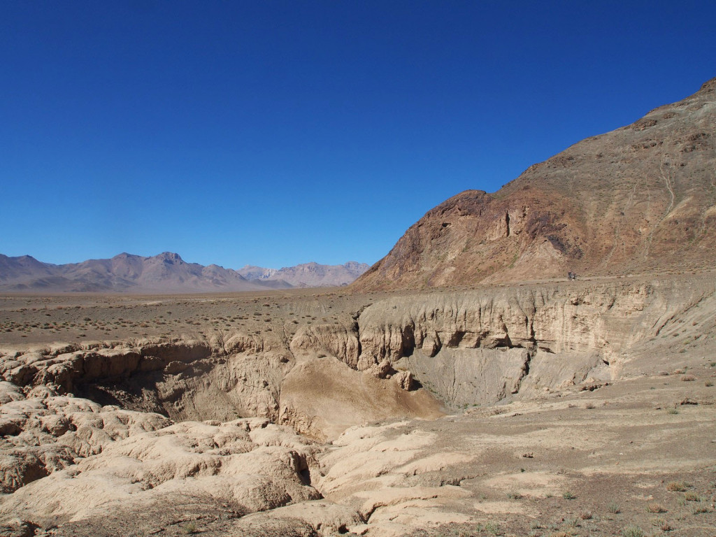
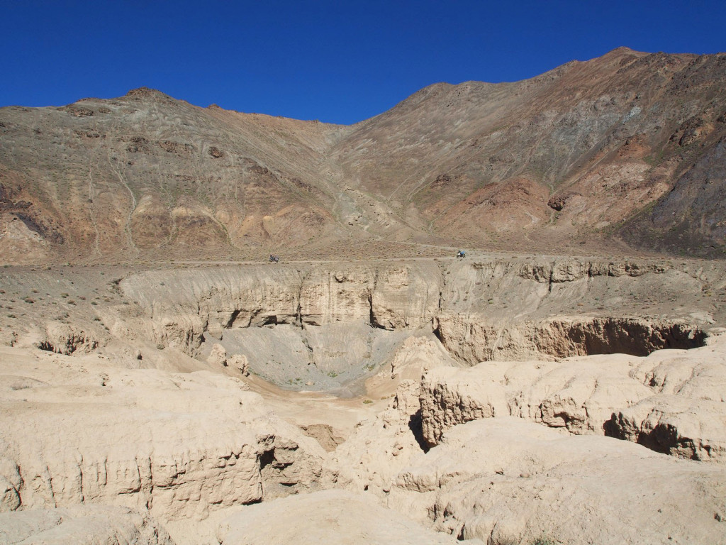
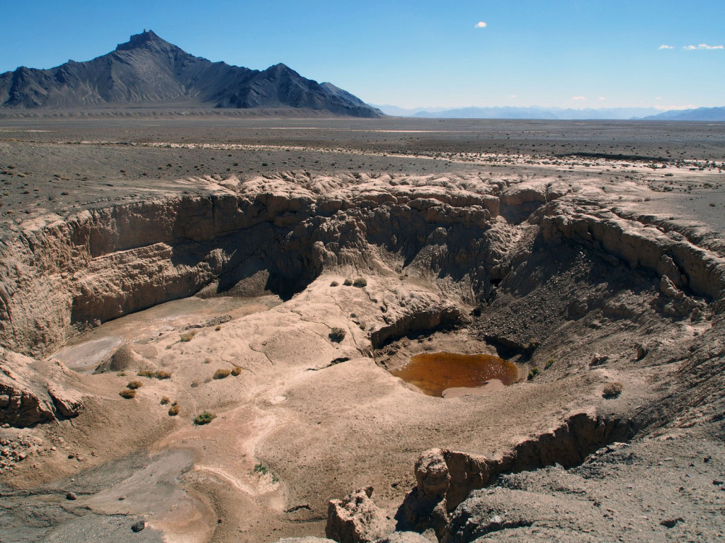
Our first stop on the way was the Ak Bura meteor crater, where a small meteor impacted. It’s in the middle of nowhere, but is still an impressive sight.
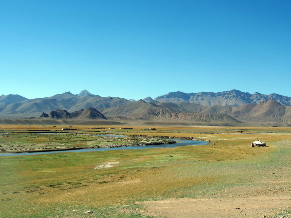
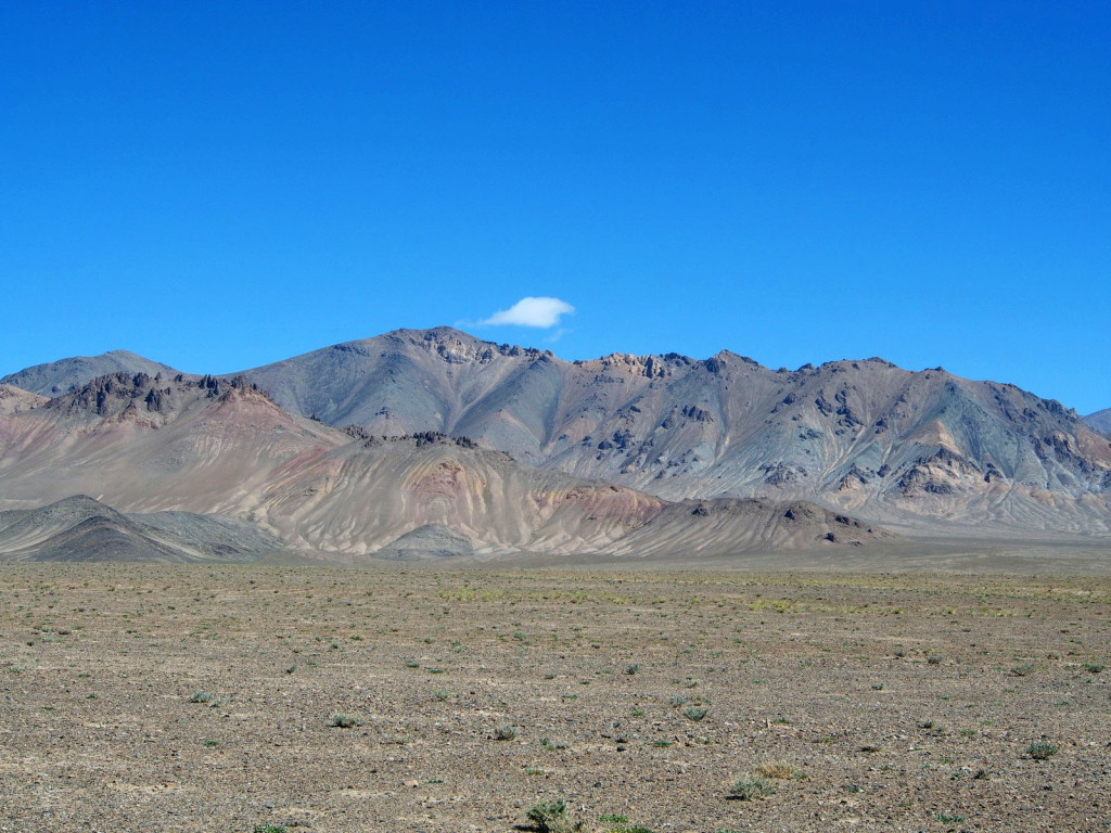
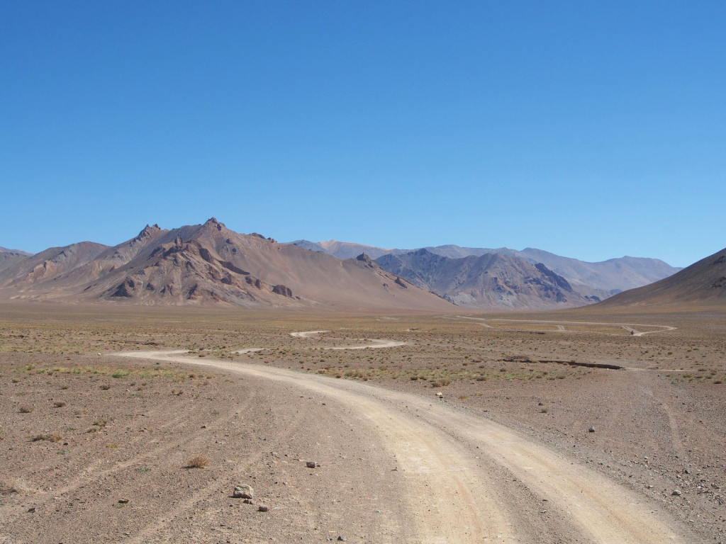
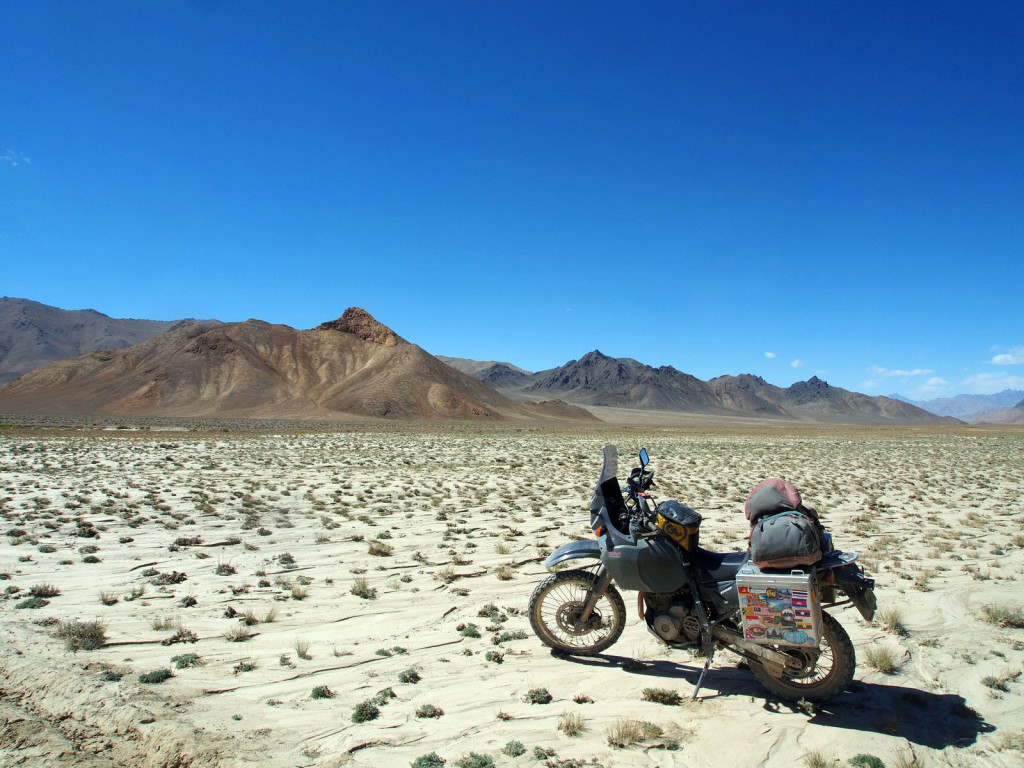
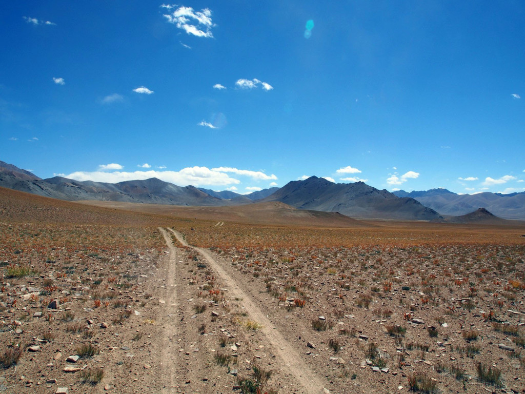
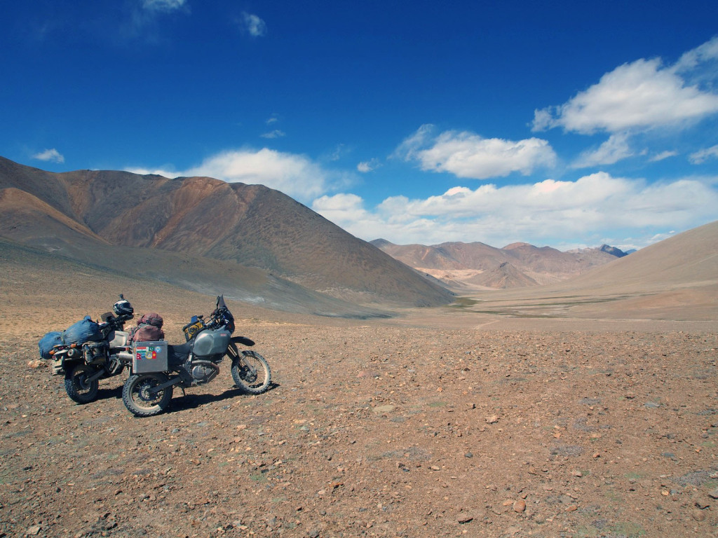
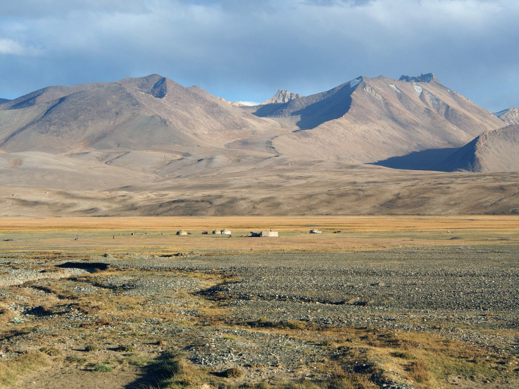
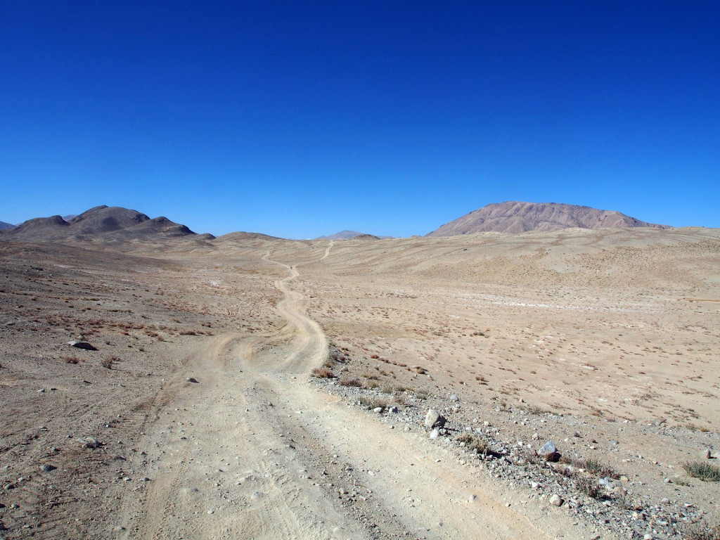
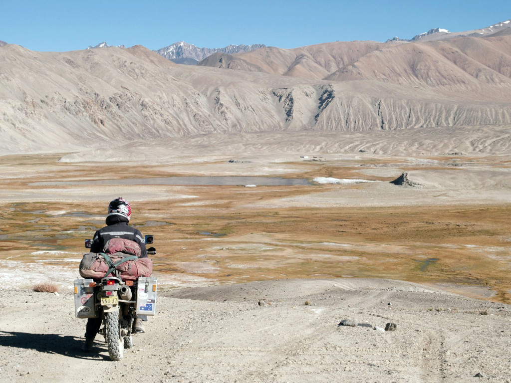
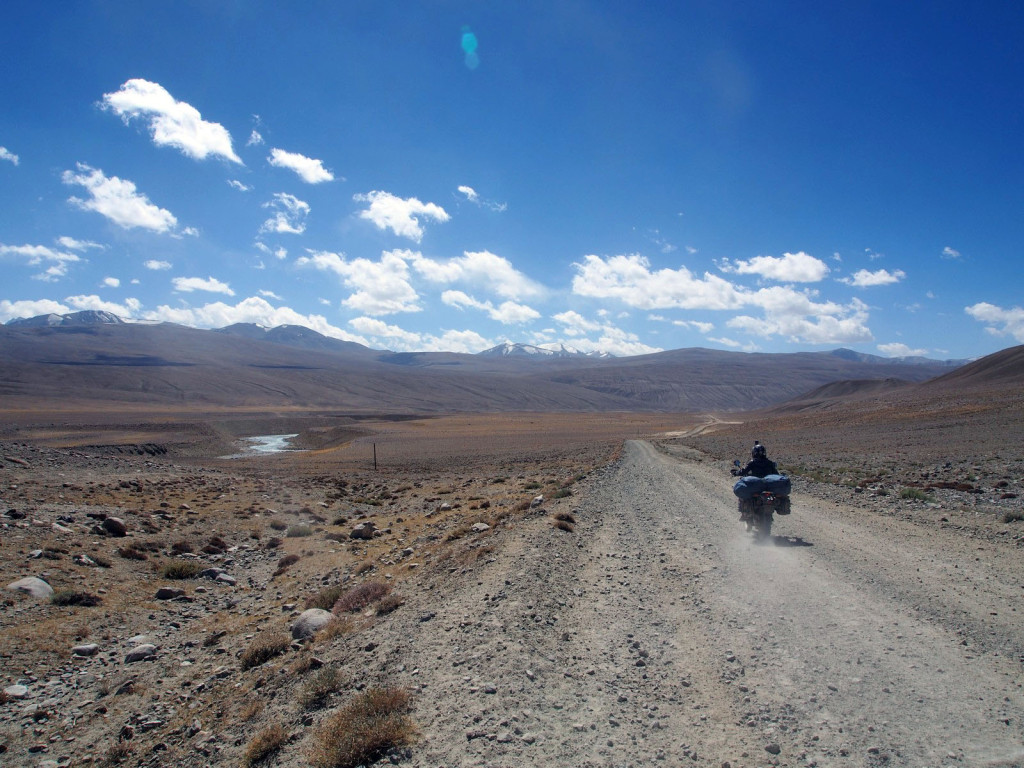
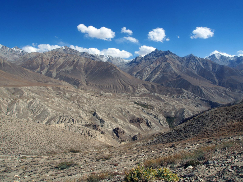
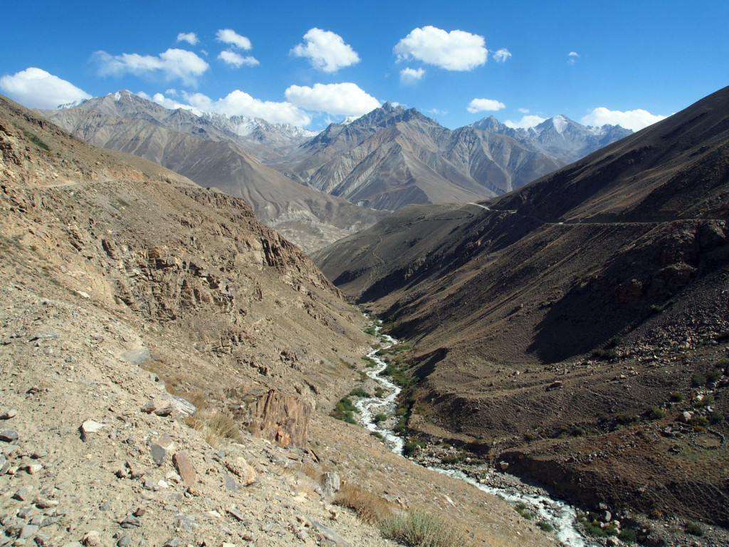
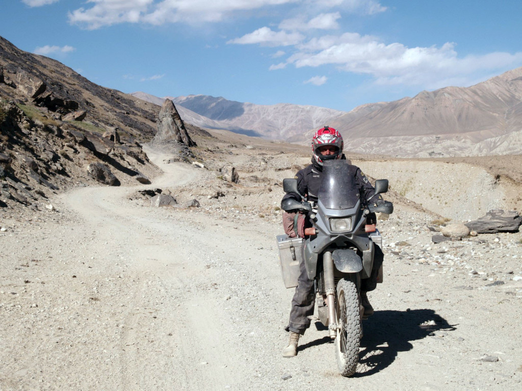
As the previous day, we were riding through some of the most remote parts of the country, through a scenic ancient landscape.
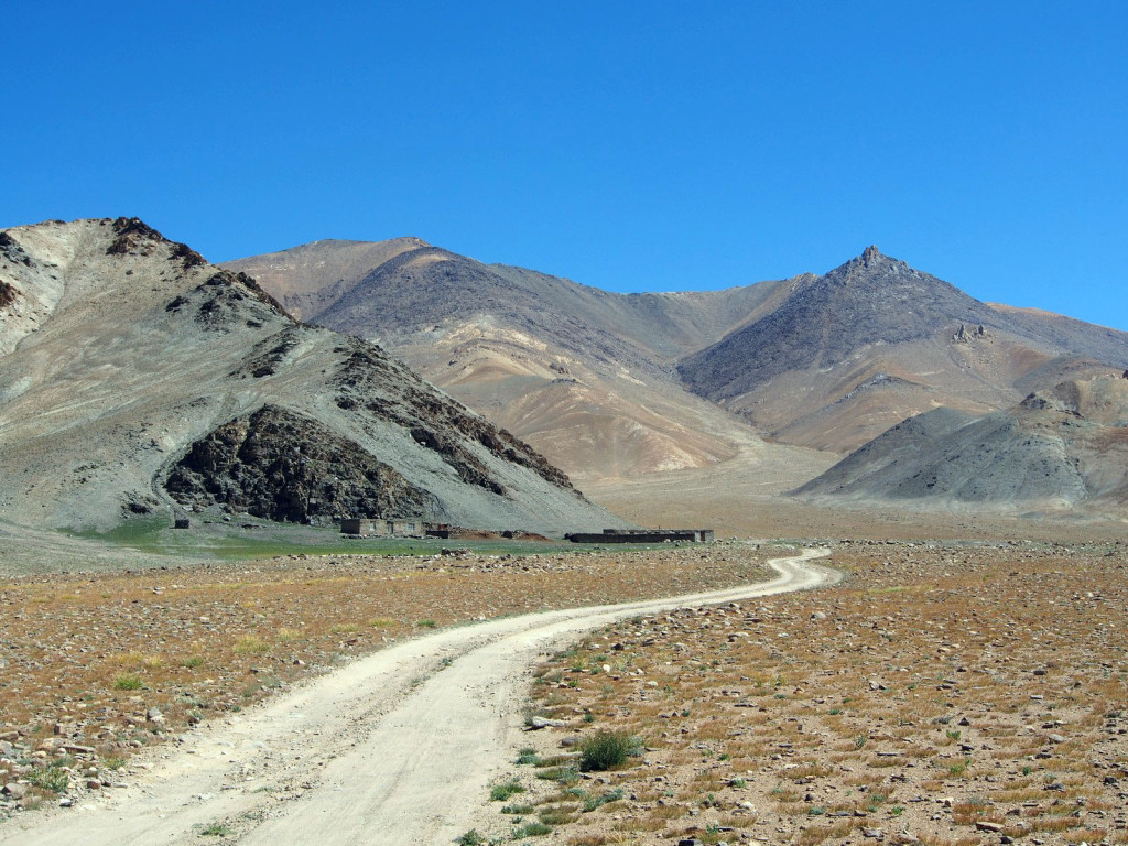
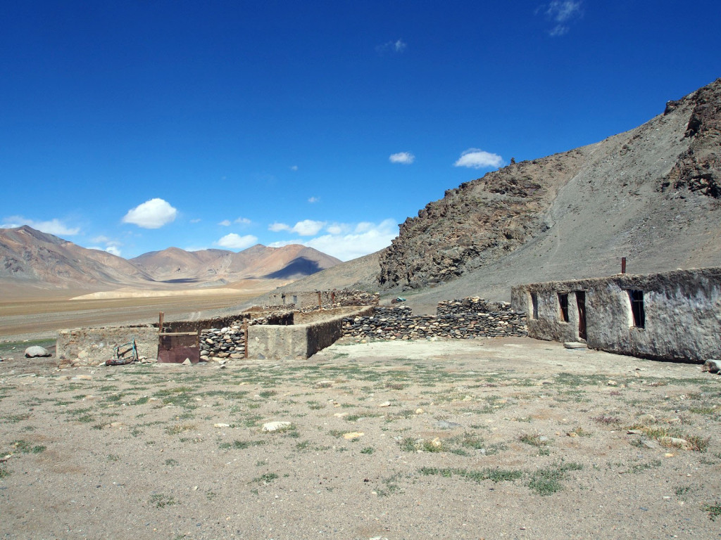
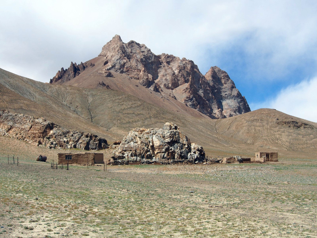
We passed old, partially abandoned shepherds houses tucked into the hills and valleys.
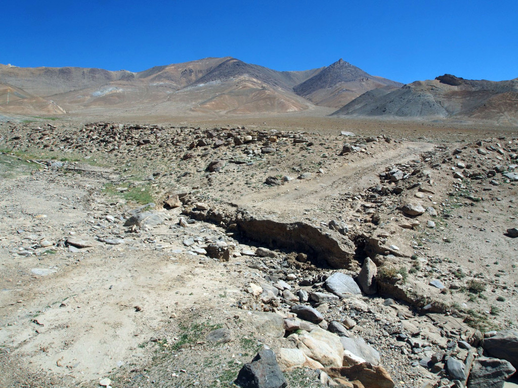
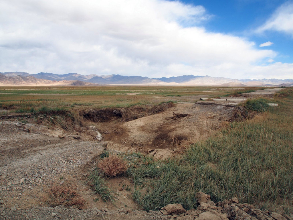
At times, the road was washed away, requiring a detour of several hundred metres.
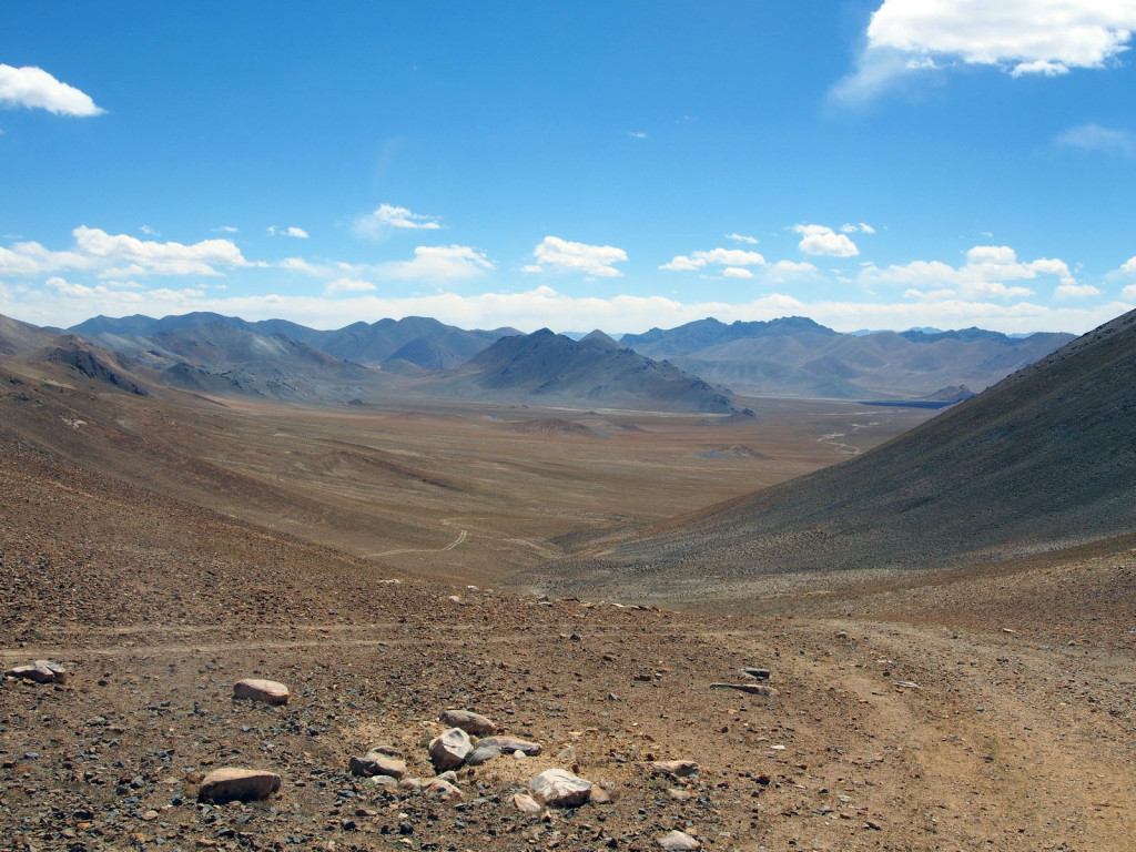
We climbed up a remote, rocky pass with stunning views over both sides.
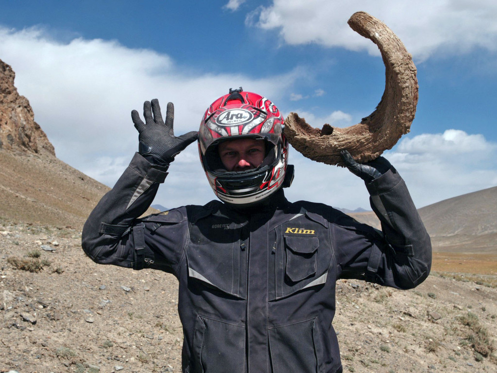
There were some old rams’ horns on the side of the road – what else to do with them? They’re bloody heavy, too…
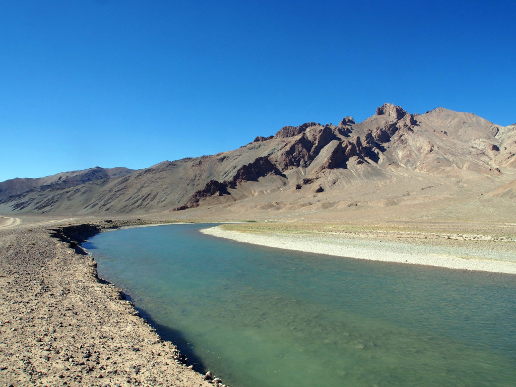
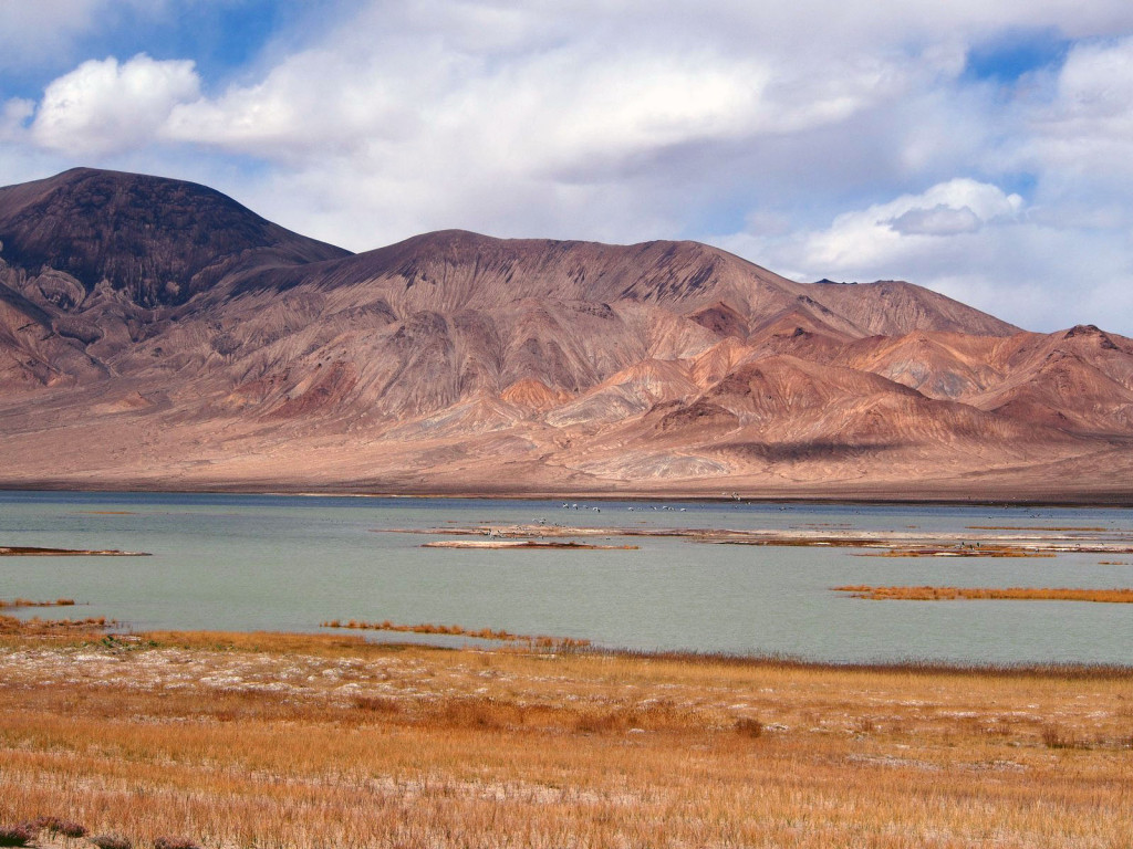
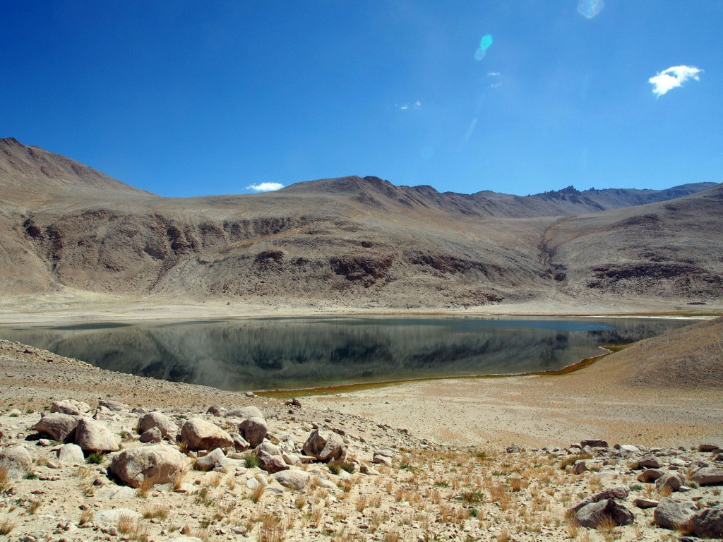
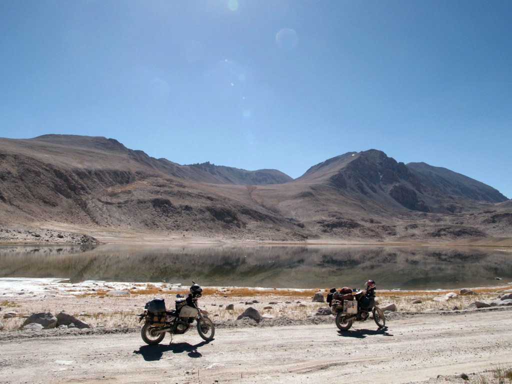
On the far side, we passed a few more alpine lakes, brightly coloured with mineral runoff.
Looping back through Murgab and stocking back up on petrol, we pushed further south along the Pamir Highway, to another tiny nothing town, Alichur.
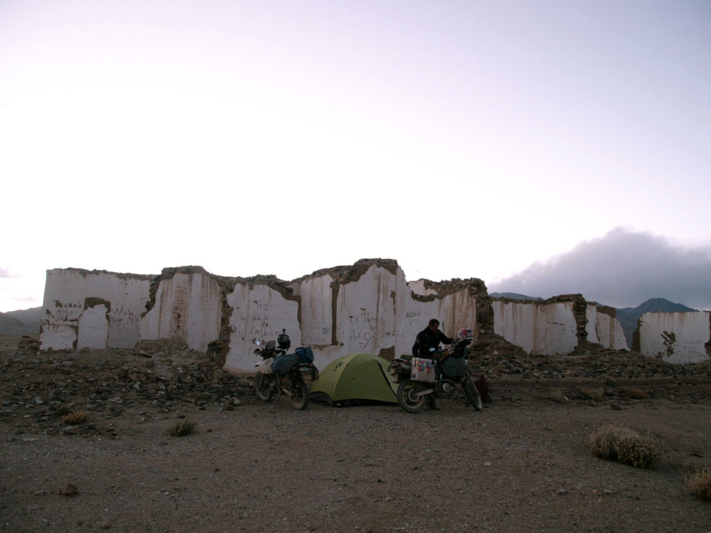
The wind was impressively strong, more than 50 kilometres per hour, directly in the face – we made slow progress, and pulled off the road to find a place to camp near Bulunkul. Supposedly from other travellers, there was a set of wild hot springs nearby, but we failed to find them, and settled for an old abandoned building to shelter us from the wind.
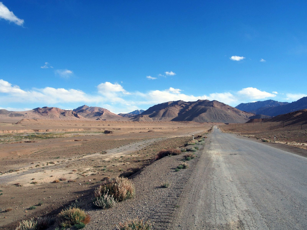
Back on the road, we turned off the main Pamir Highway towards the Wakhan Valley – another famous part of the Silk Road, running along the Afghan border. To get there, we passed more desolate scenery, alpine lakes, and a military checkpoint (no photos there).
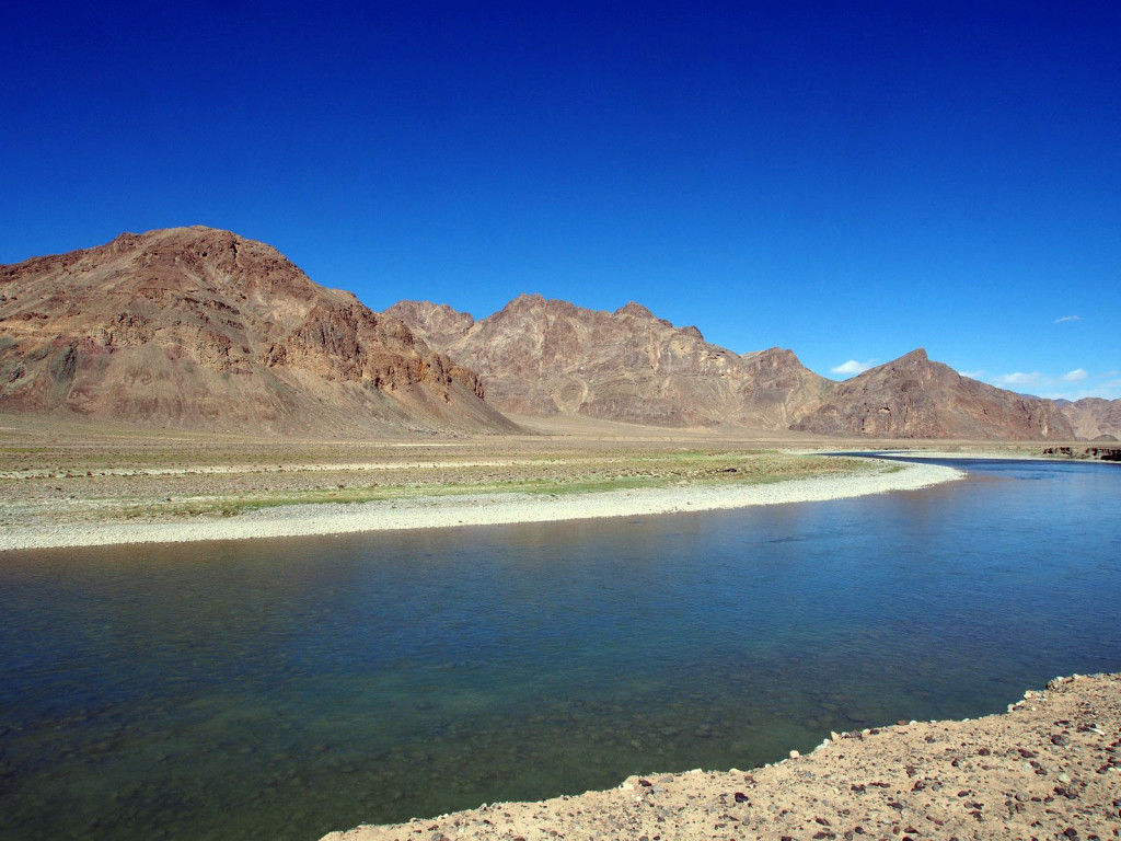
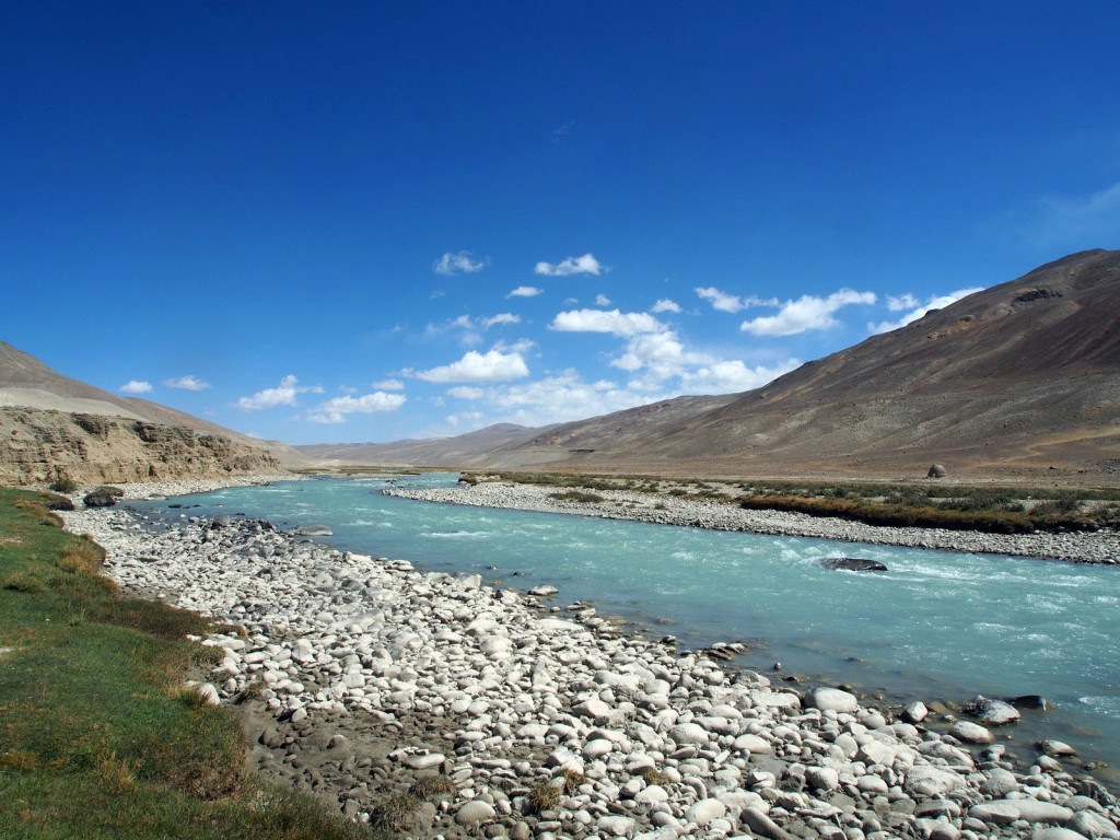
We hit the Pamir River and turned west again, stopping briefly for lunch, only a stones’ throw from Afghanistan – literally! (I checked, tick ‘throwing rocks onto Afghanistan’ off my bucket list).
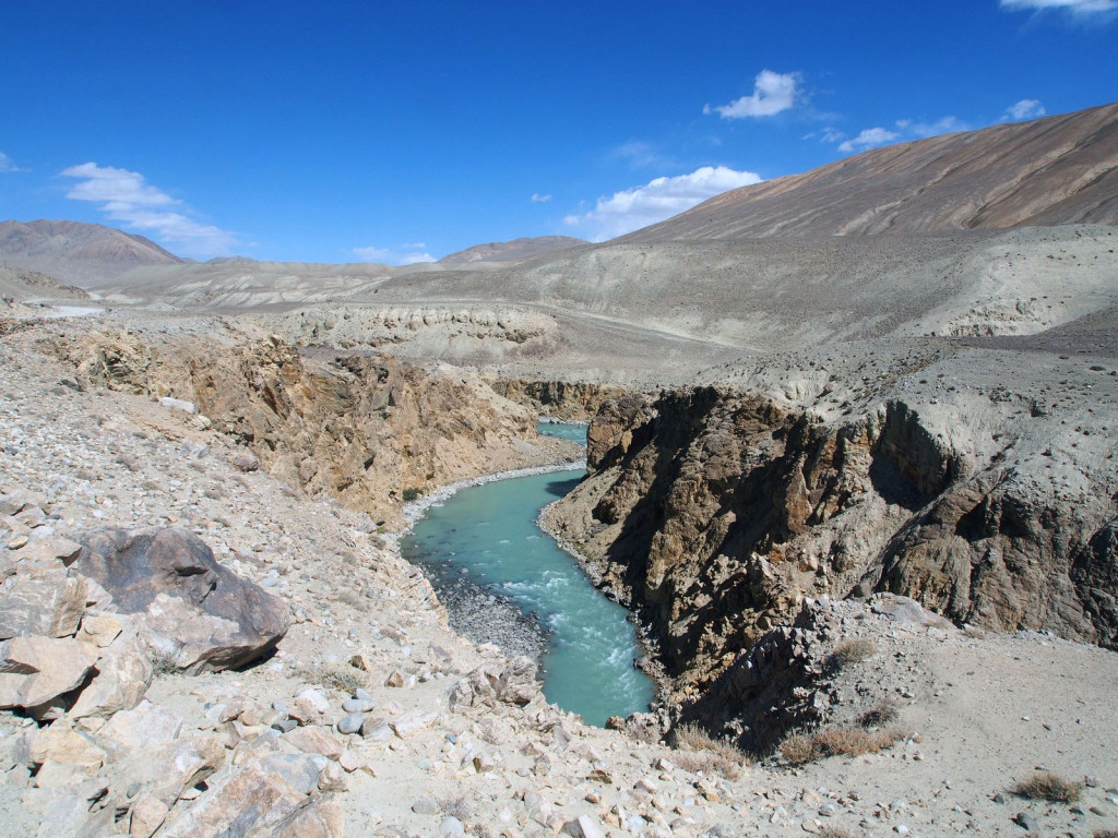
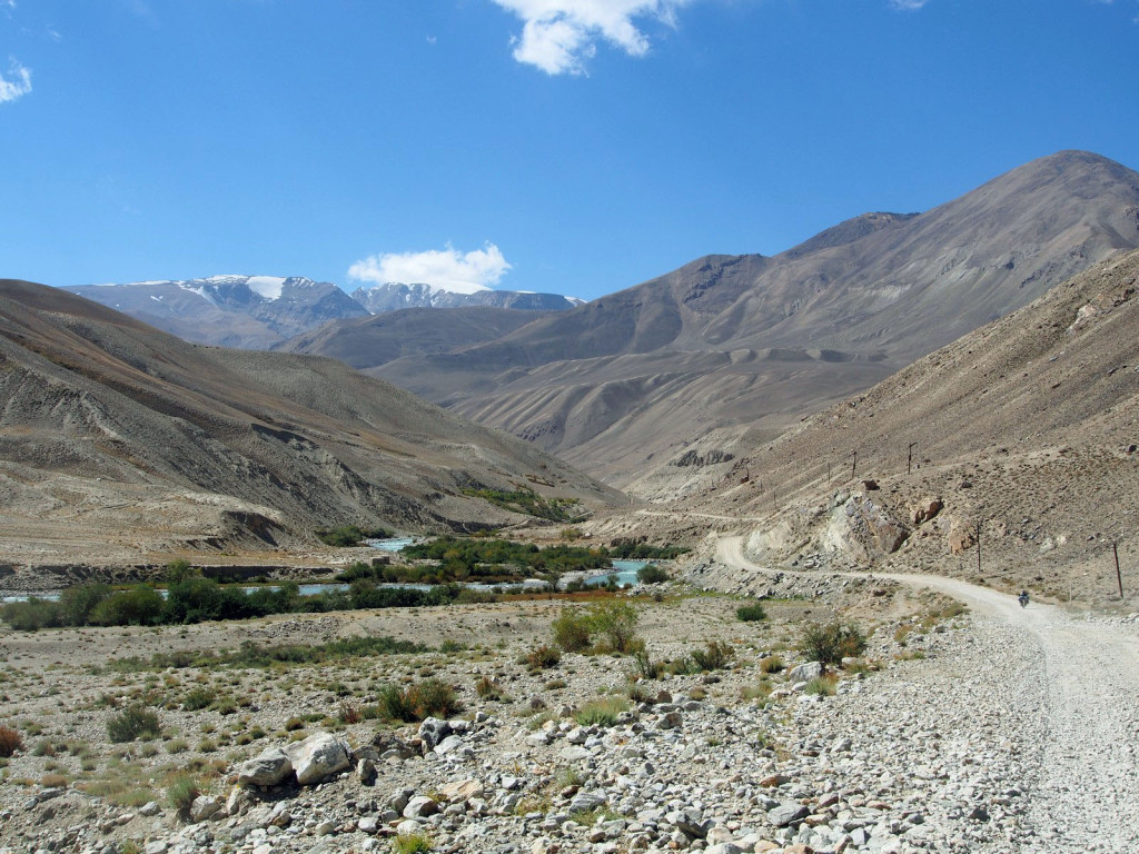
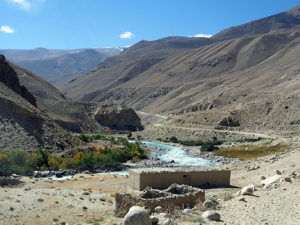
We continued along the high altitude plateau, following the river for a while before we came to the valley itself.
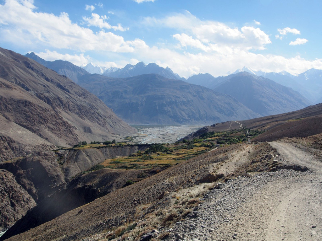
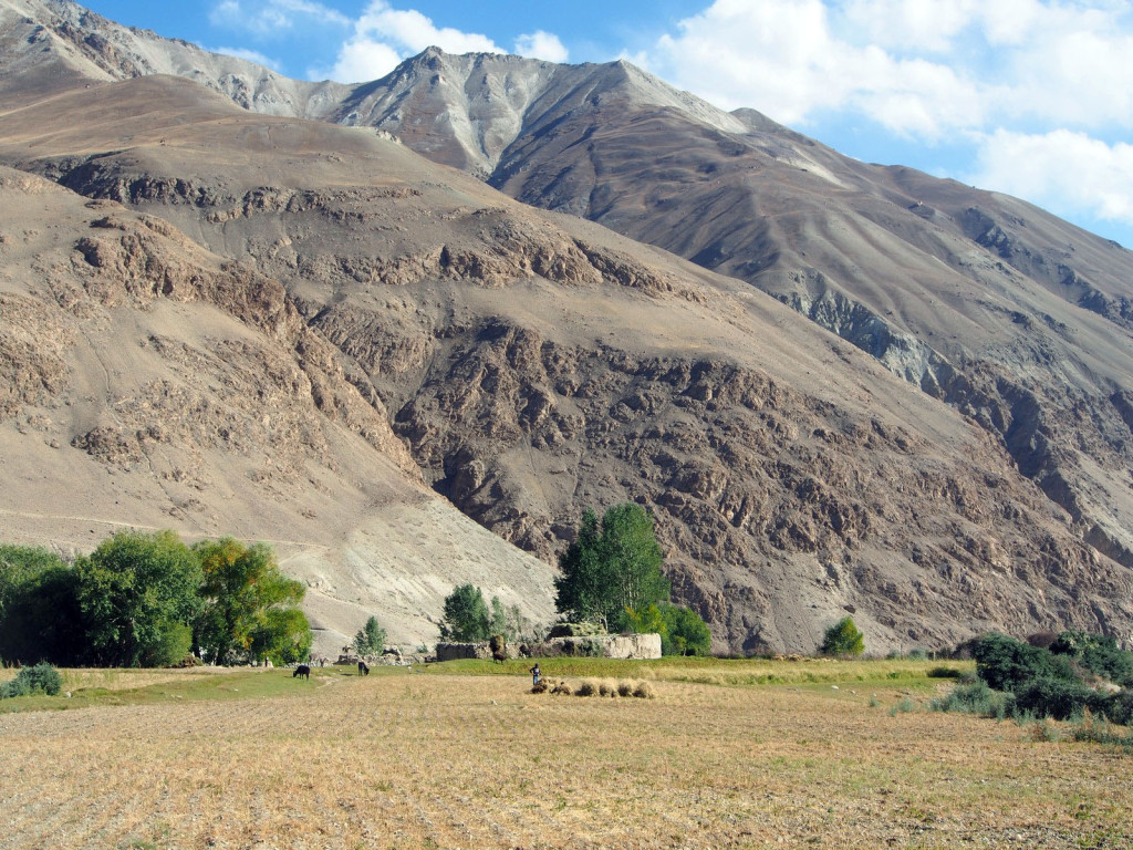
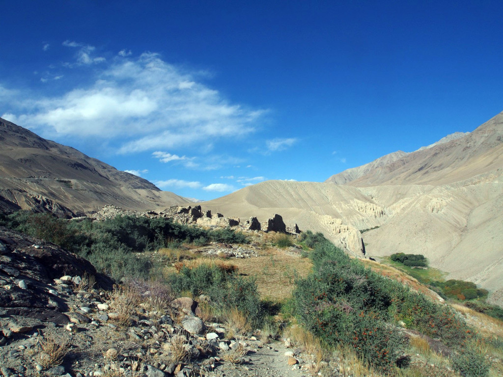
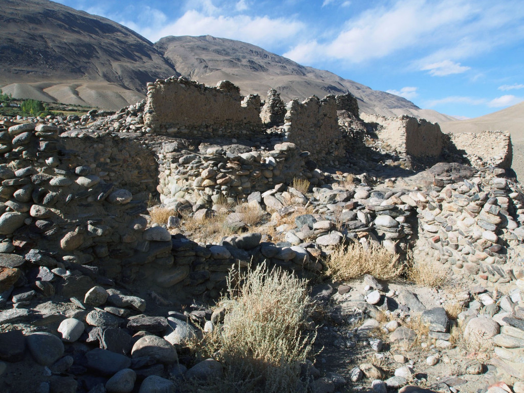
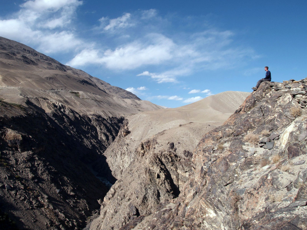
Finally, we reached the village of Ratm, at the top of where the river canyon opens out onto the fertile floodplain of the Wakhan Valley. There’s an ancient fort here, little more than ruined stone walls, but reputed to be more than 2,300 years old. To get to it, you have to cross the small village, poking through thorny hedges and past people’s fields and houses.
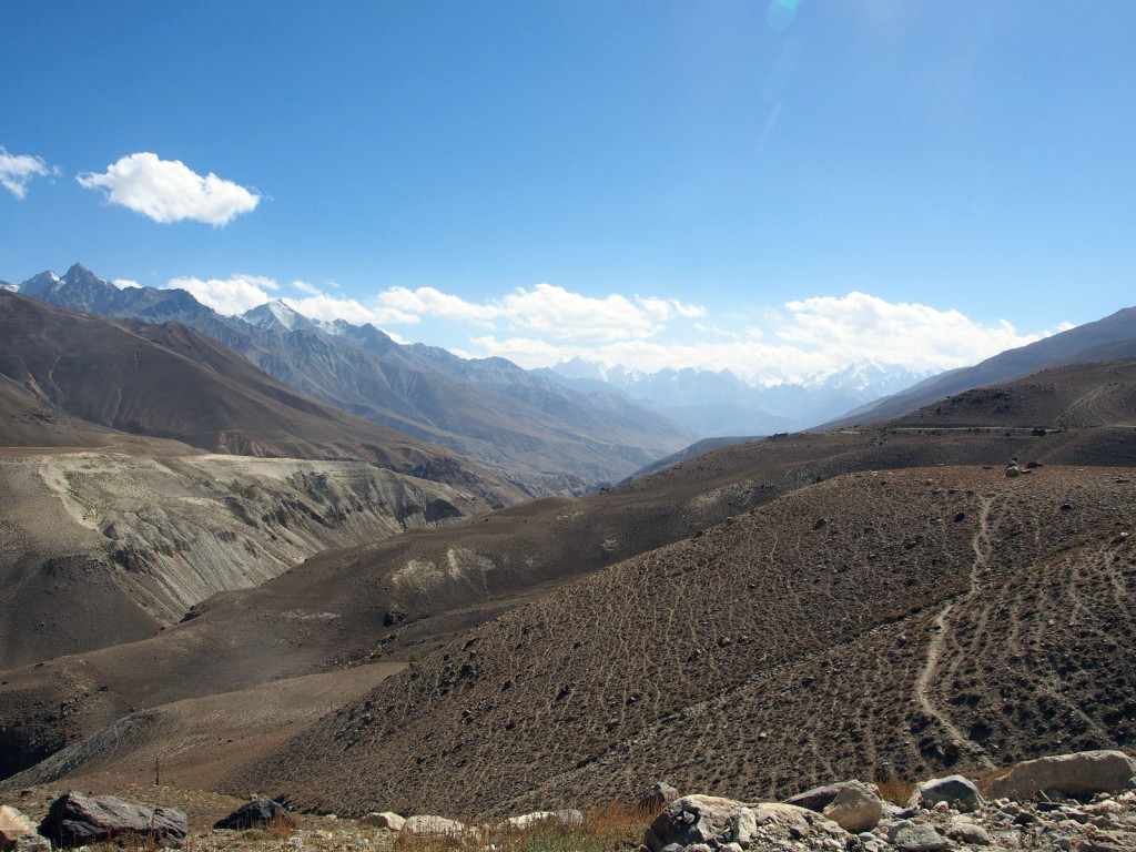
We dropped down the steep hairpins into the valley, and stopped in the village of Langar for the night.

Milestone reached! This is blog no 50 of the trip! Wonderful reading and fantastic photos as usual, too.