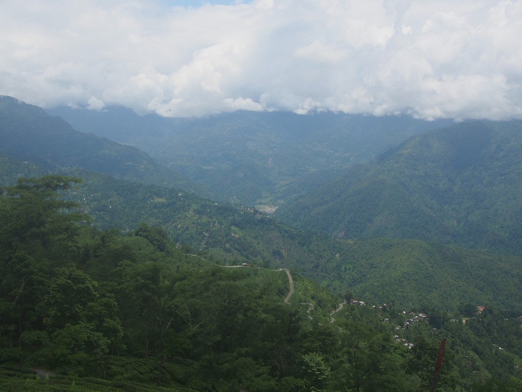
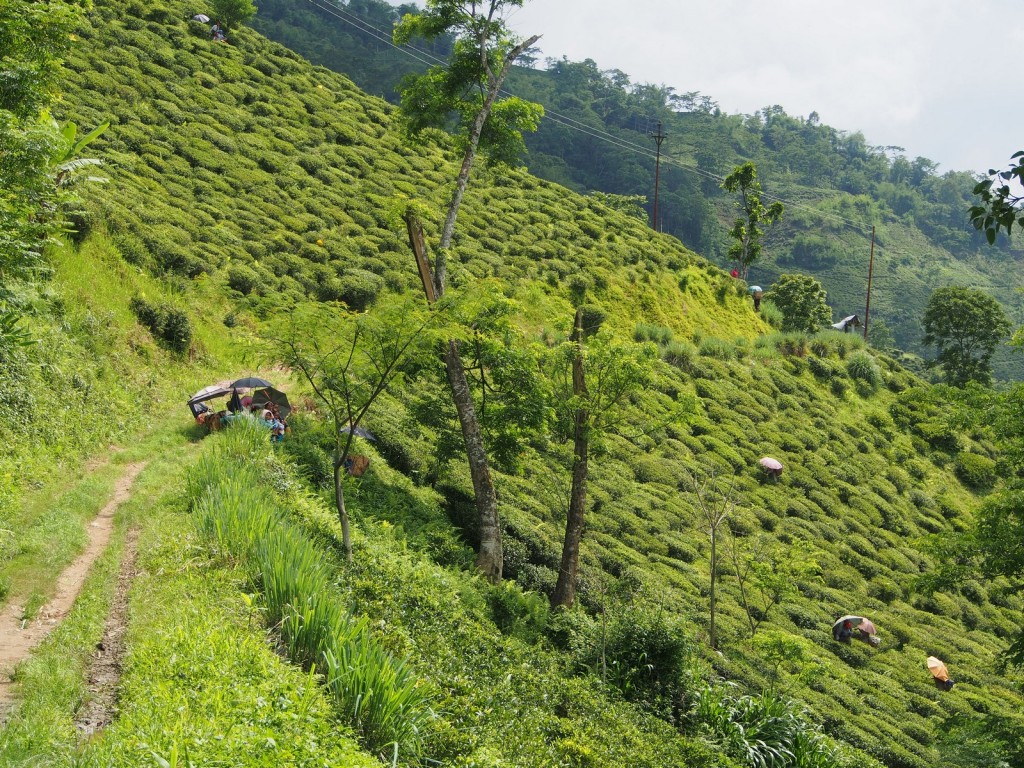
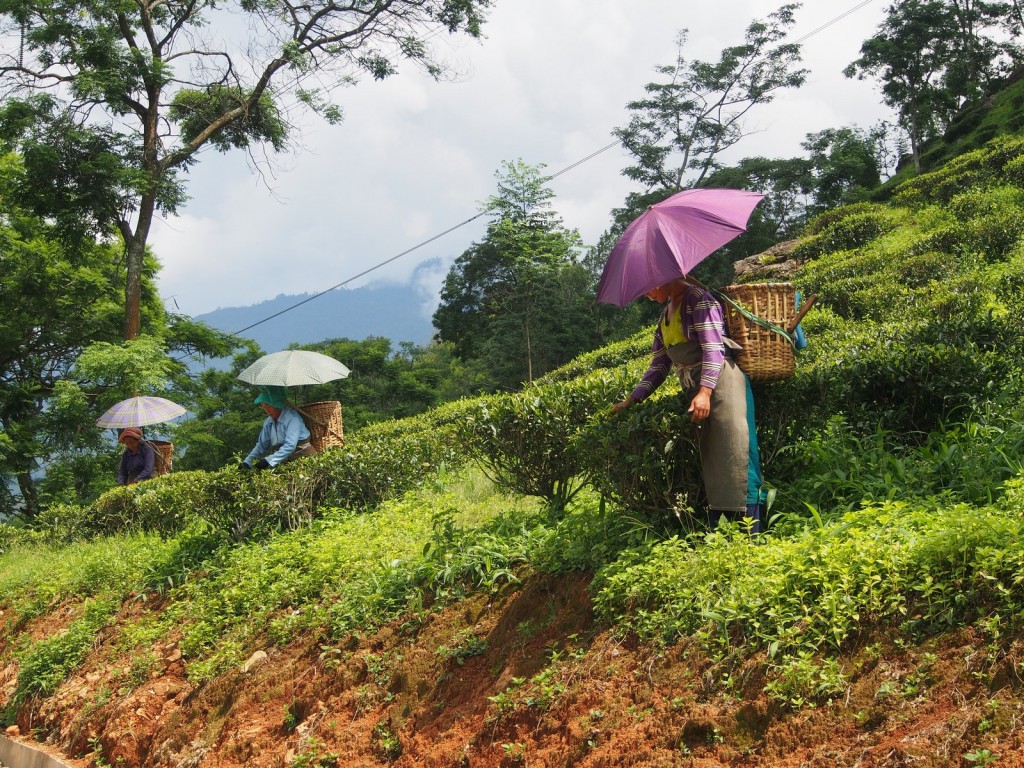
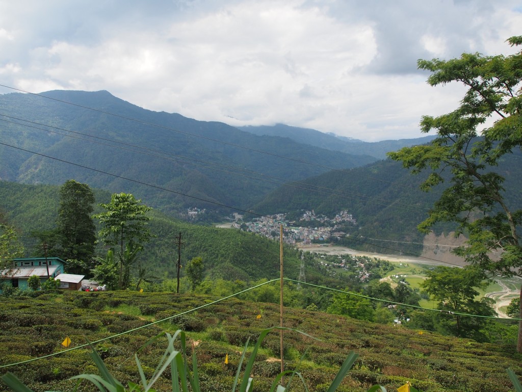
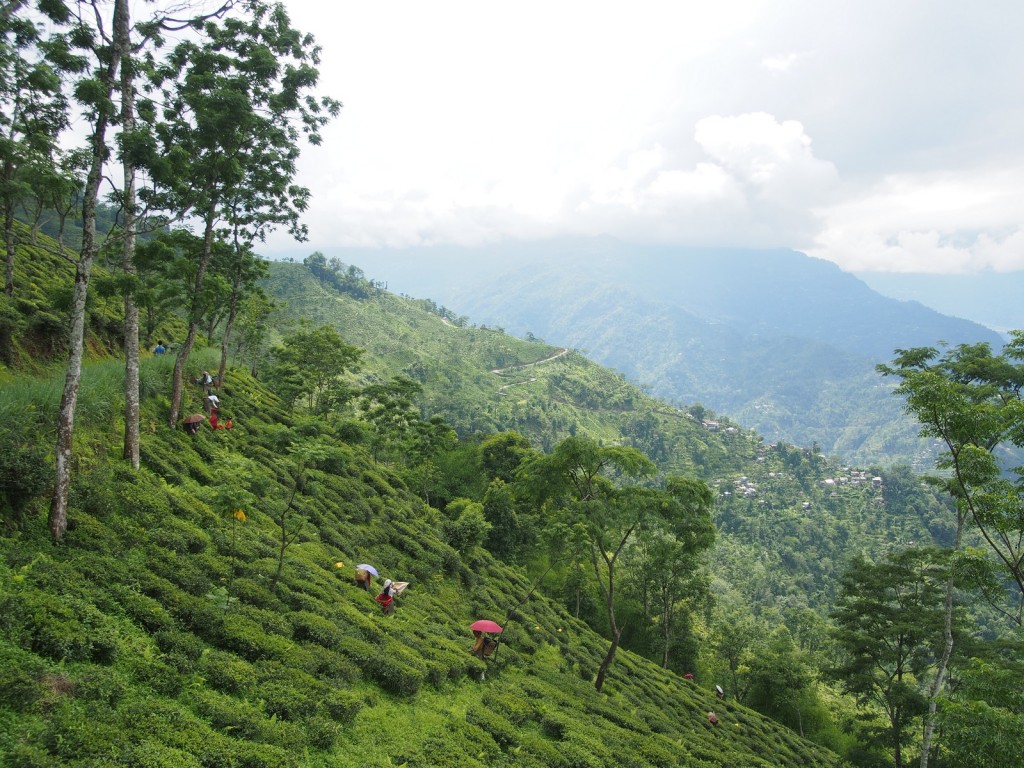
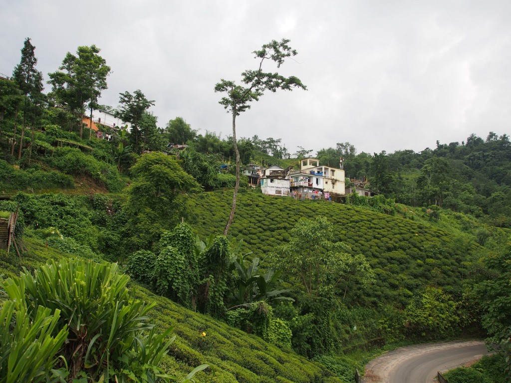
Our plan from Darjeeling was to strike north into the Himalayan state of Sikkim – a once independent kingdom that only joined India in 1975. Its proximity to the border with China and its relatively recent annexation means that special permits are needed, requiring half a day of running around fighting Indian bureaucracy in Darjeeling. Although the capital, Gangtok, is to the east and is where most tourists visit, we wanted to go see some of the small villages in the west – a plan that would prove critical later. With the stamp in the passport and the piece of paper in hand, we set off along a minor road that heads directly north out of Darjeeling (instead of the main road east towards Gangtok), quickly dropping off the mountainside through the tea plantations that are world famous.
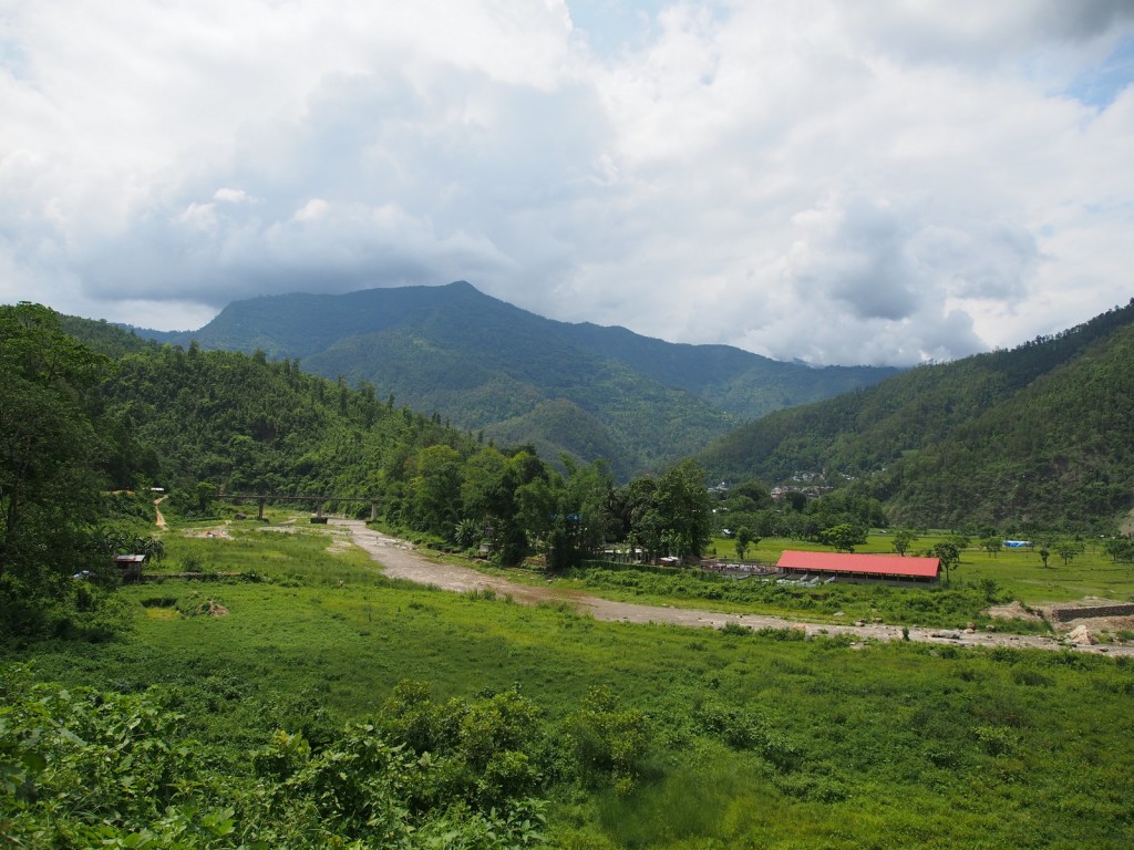
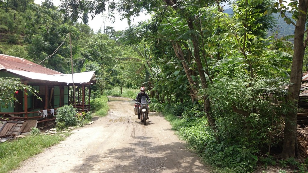
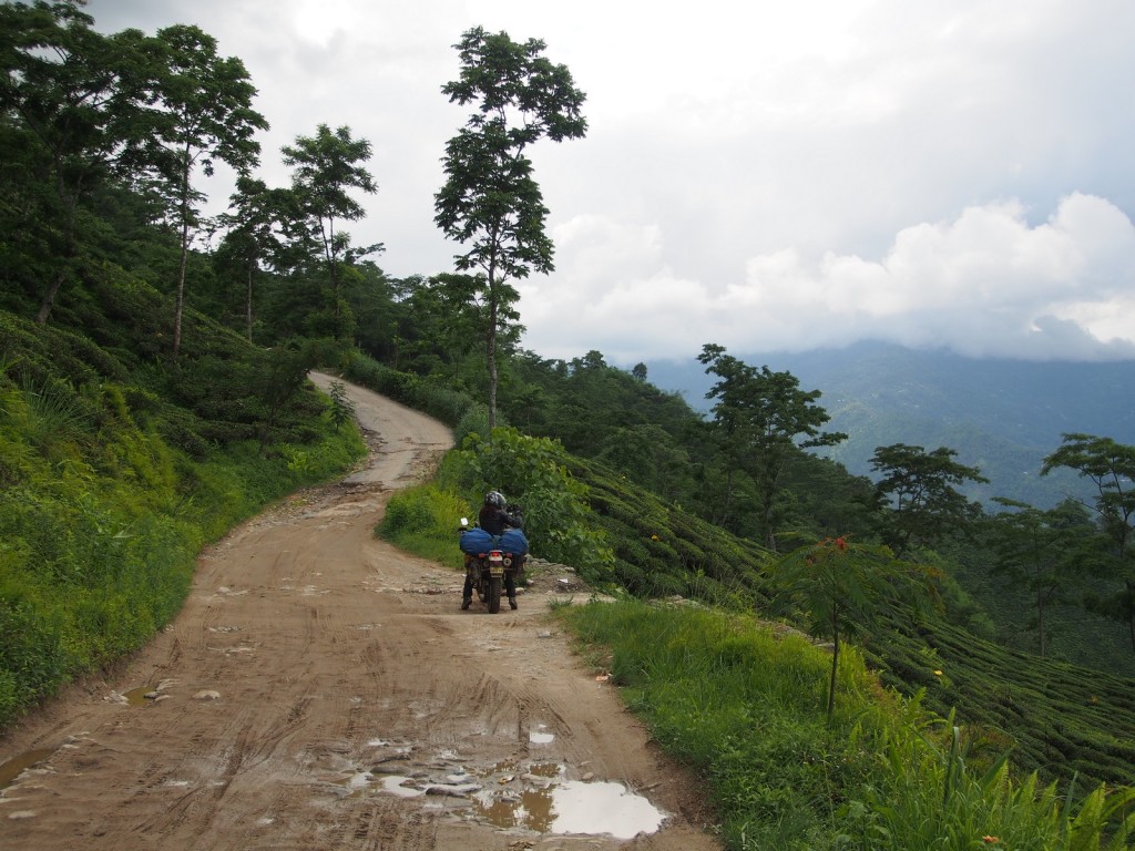
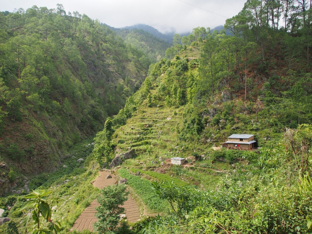
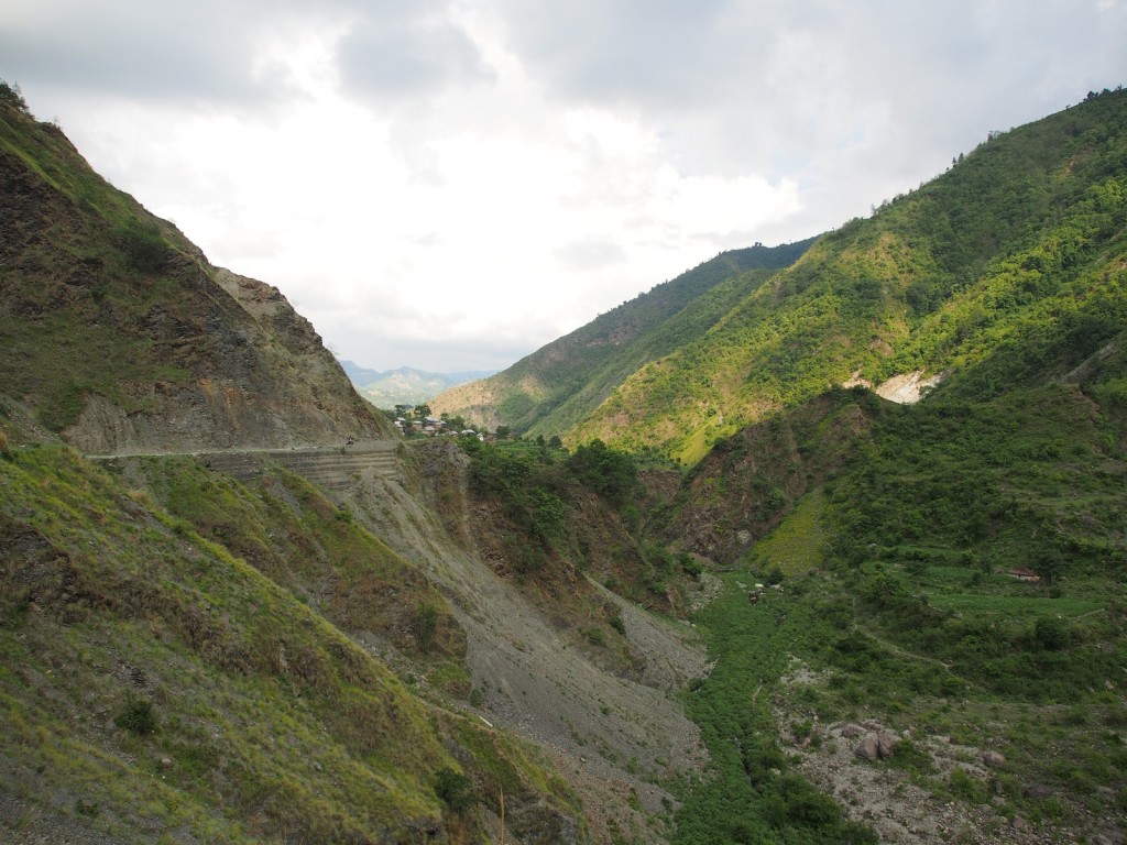
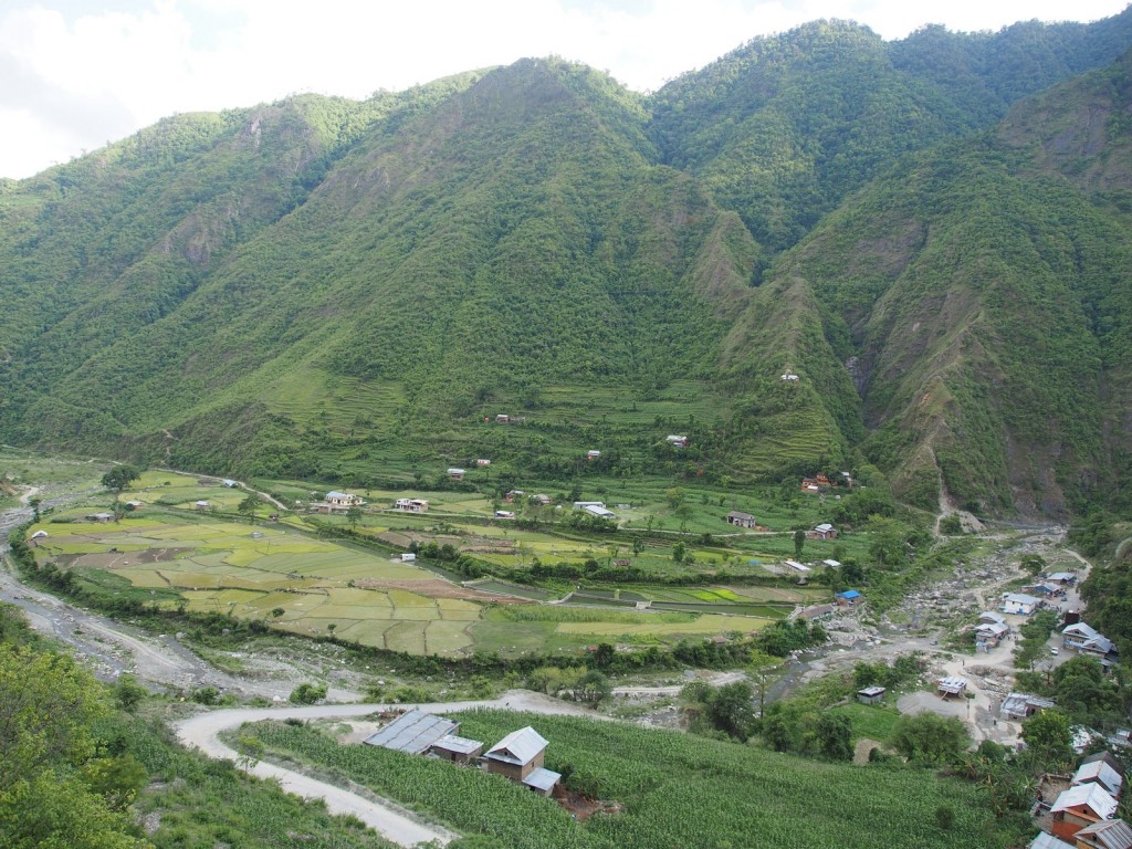
The scale and steepness of the surrounding mountains is impressive, as the rough and potholed roads wound their way through tiny villages to the river at the bottom of the valley.
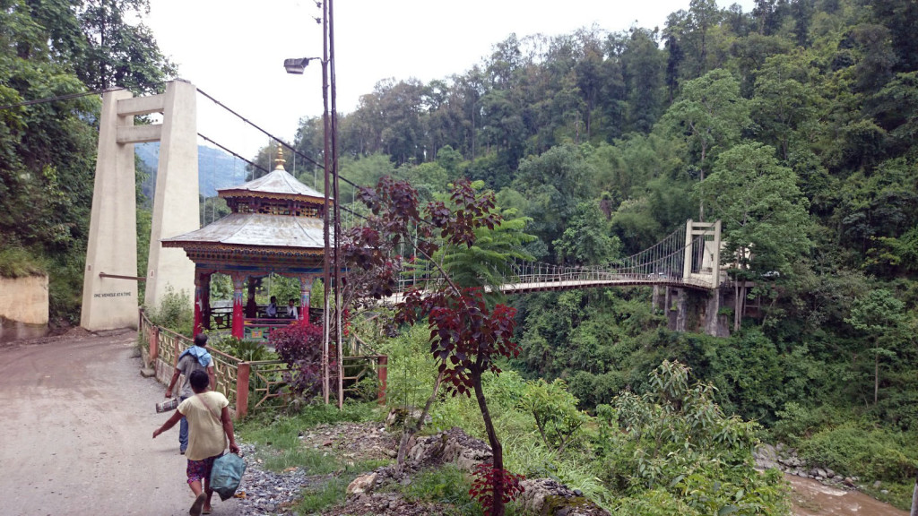
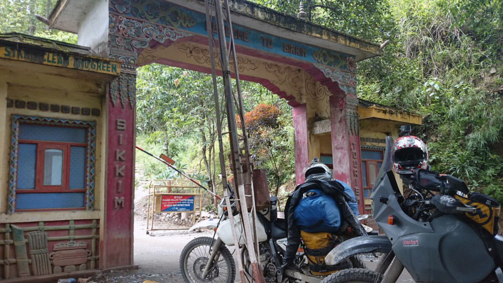
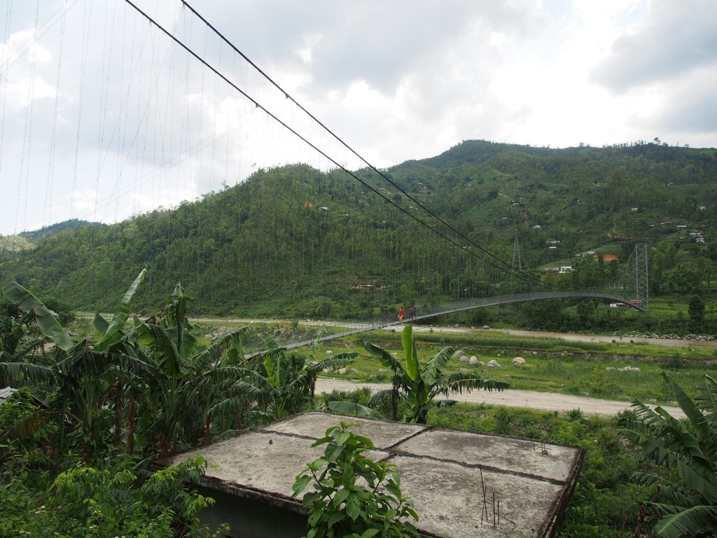
The river forms the state boundary, and after crossing an Indiana-Jones style suspension bridge, each bike making it bounce and sway, we rolled up confidently to the border post – and were promptly told to go away. Lengthy discussions with both the police and army guards there proved that, even though the permit explicitly had that checkpoint written on it as being permitted for foreigners, if the border guards think you’re not allowed then you won’t get through. This is the first time we’ve had any issue crossing a border, but fortunately it’s an internal one, not an international one which could be a showstopper!
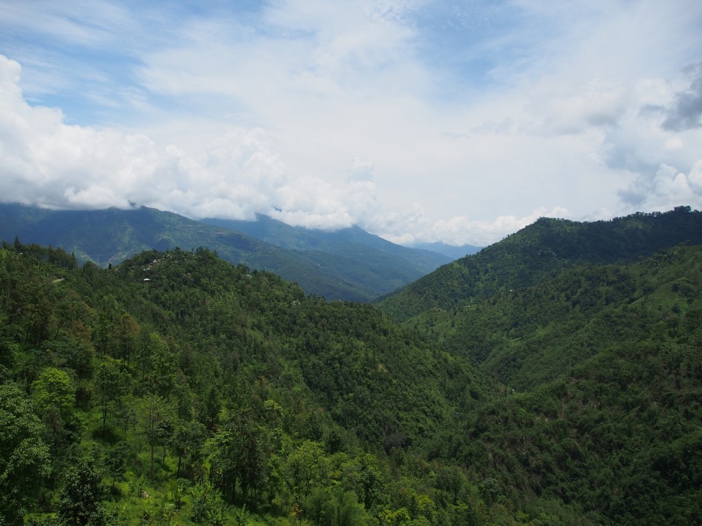
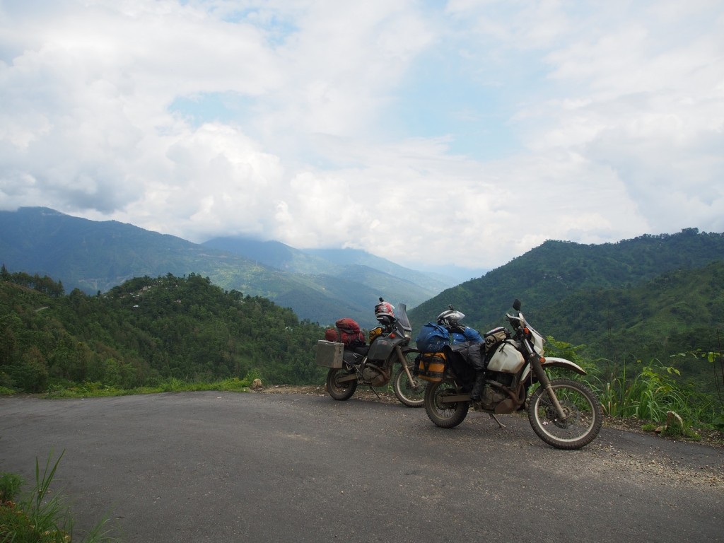
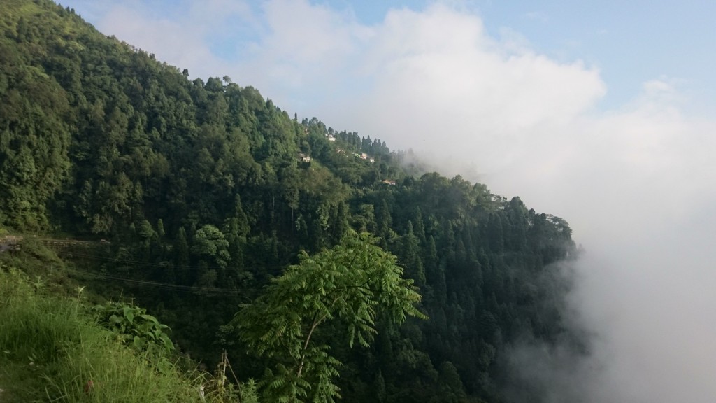
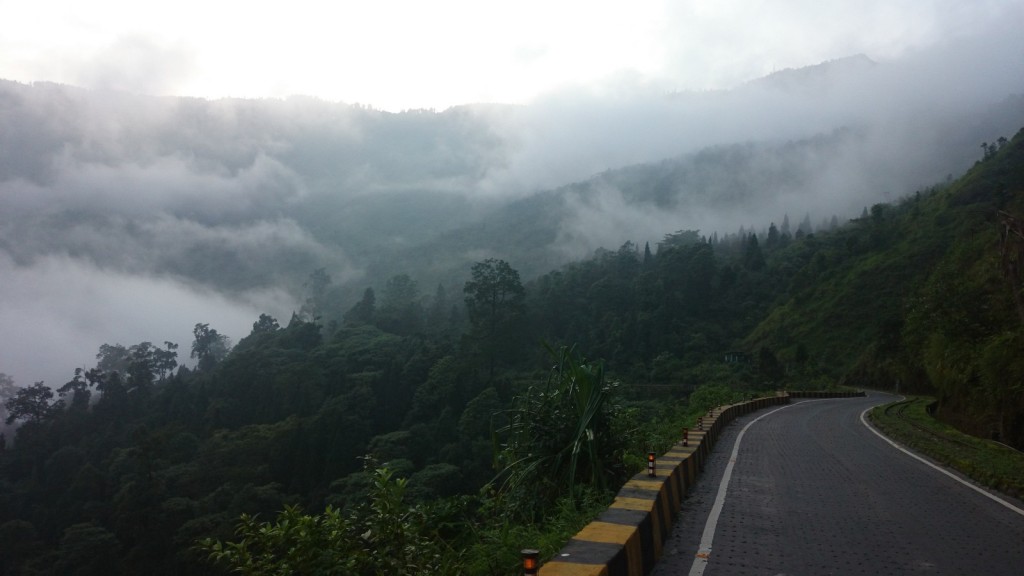
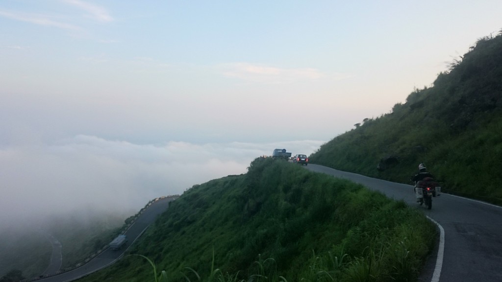
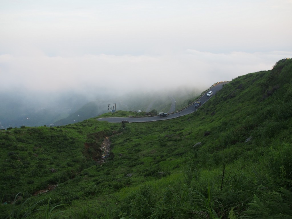
One frustrating hour later, we turned around and headed back up the mountain. Fortunately the gorgeous scenery made the detour worthwhile, even though we had failed in our plan to cross into Sikkim.
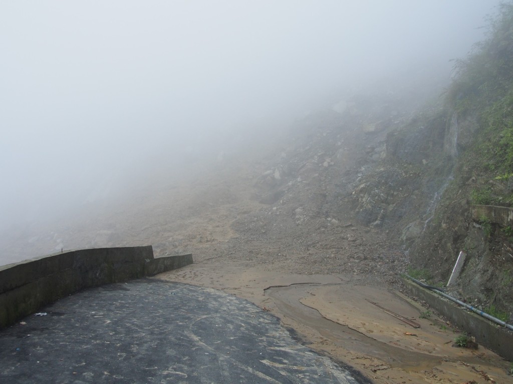
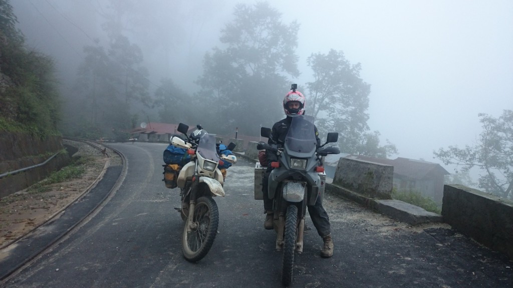
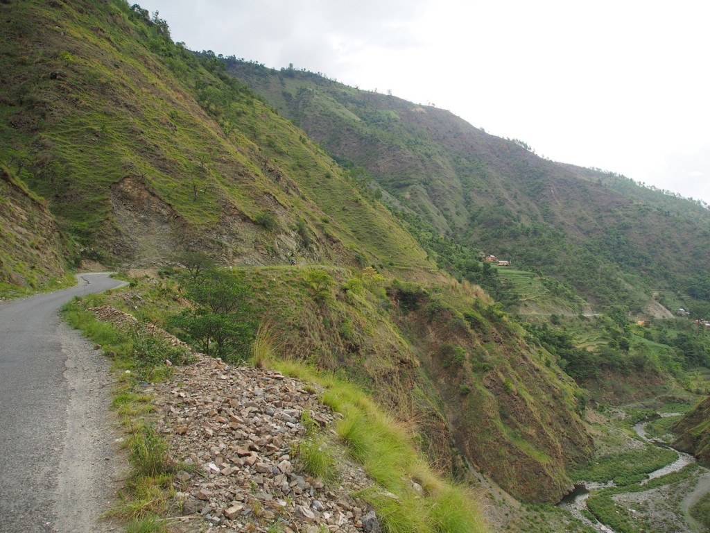
Back in Darjeeling, we discussed our options, and since we had only planned two days in Sikkim and had already lost most of a day with our failed attempt, we would instead push on into Nepal – so, back down the mountain to Siliguri. We decided to try and take a different route down the mountainside, following the train tracks all the way. This started well, and after rolling past the turnoff for the road we originally came up, the traffic was almost non-existent. With the mist closing in and fewer and fewer people and vehicles on the road, it started feeling like the apocalypse. After around 15km we discovered the reason why there was no one around, and why the GPS kept trying to push us back onto the original road – a massive landslide has completely wiped the road off the cliff face for several hundred metres. Our second routing failure for the day! Still, as for the descent towards Sikkim, the natural beauty of the landscape and winding nature of the roads made it a worthwhile detour. Back on the correct road, we raced the sunset and arrived safely in Siliguri just as night fell.
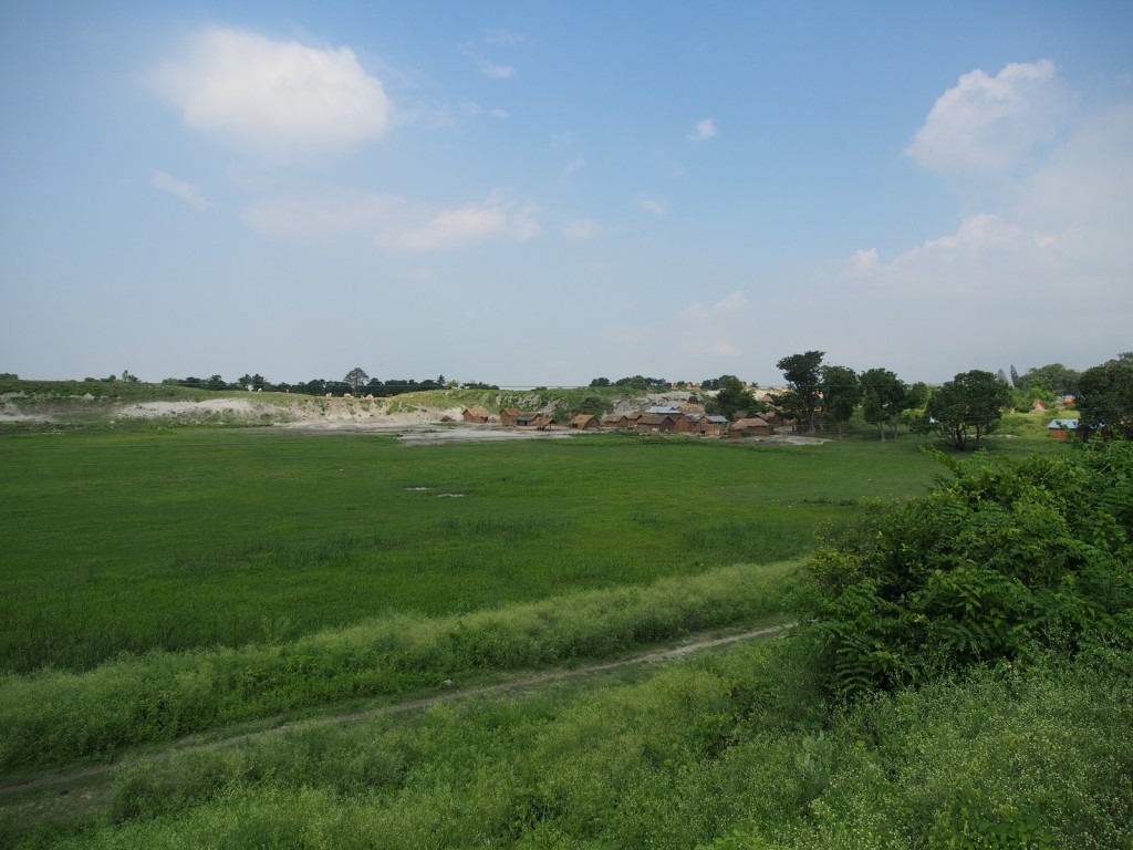
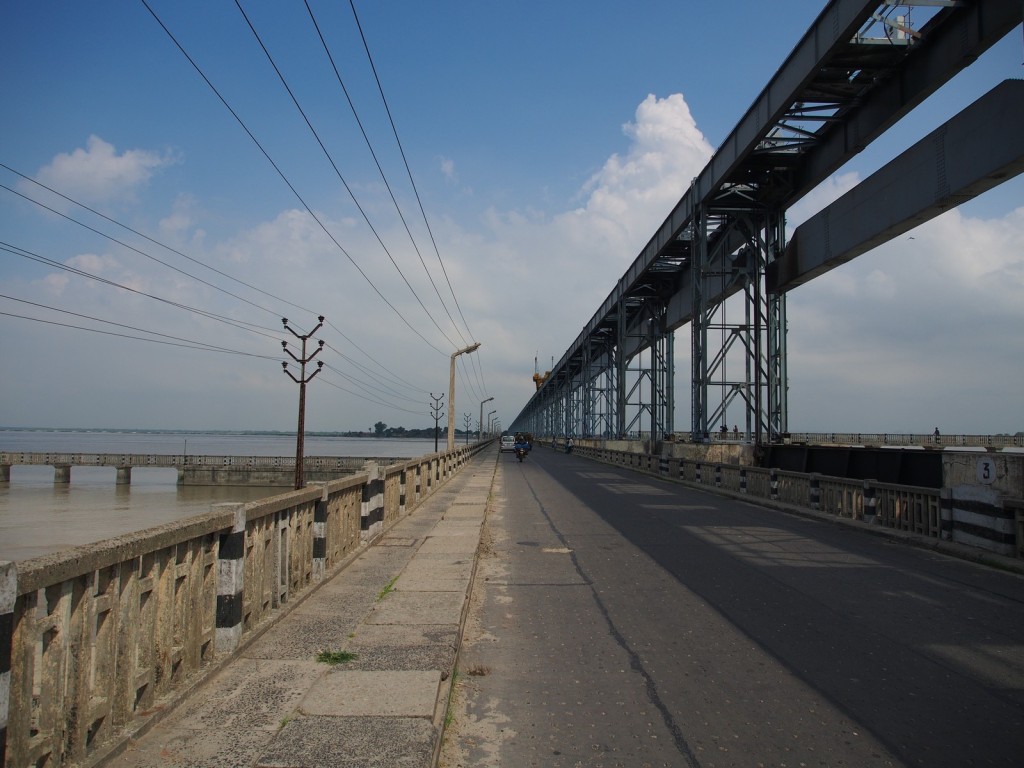
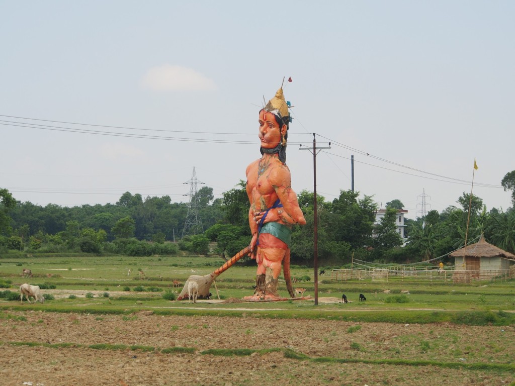
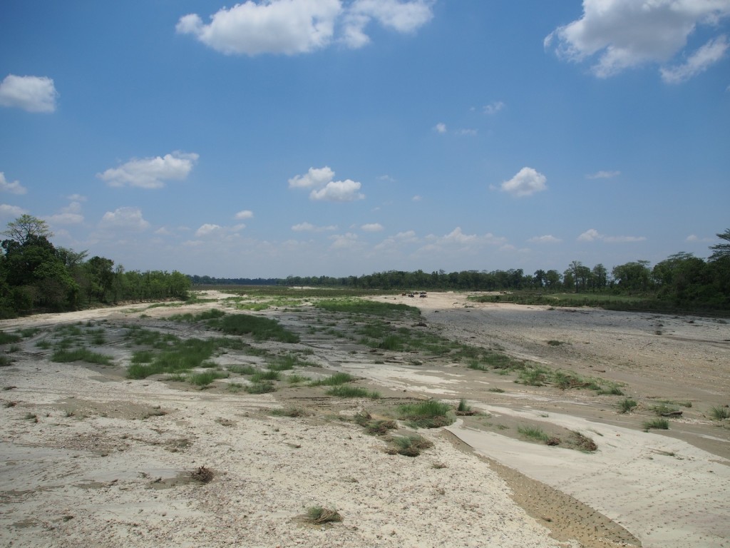
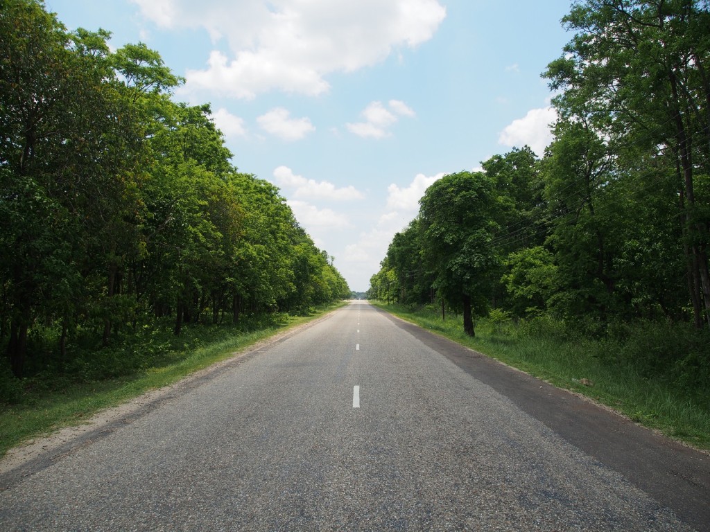
The run to the Nepalese border at Kakarvitta the next day was uneventful, as was the border crossing formalities on both sides – and thus we entered country number ten. After finding the nearest ATM for some local currency and a quick lunch we hit the road through the lowlands, called the Terai. These were mostly flat open plains, covered with farmland and forests, small towns and many wide rivers, both full and dry.
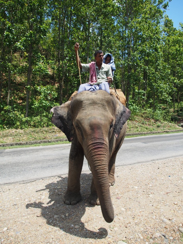
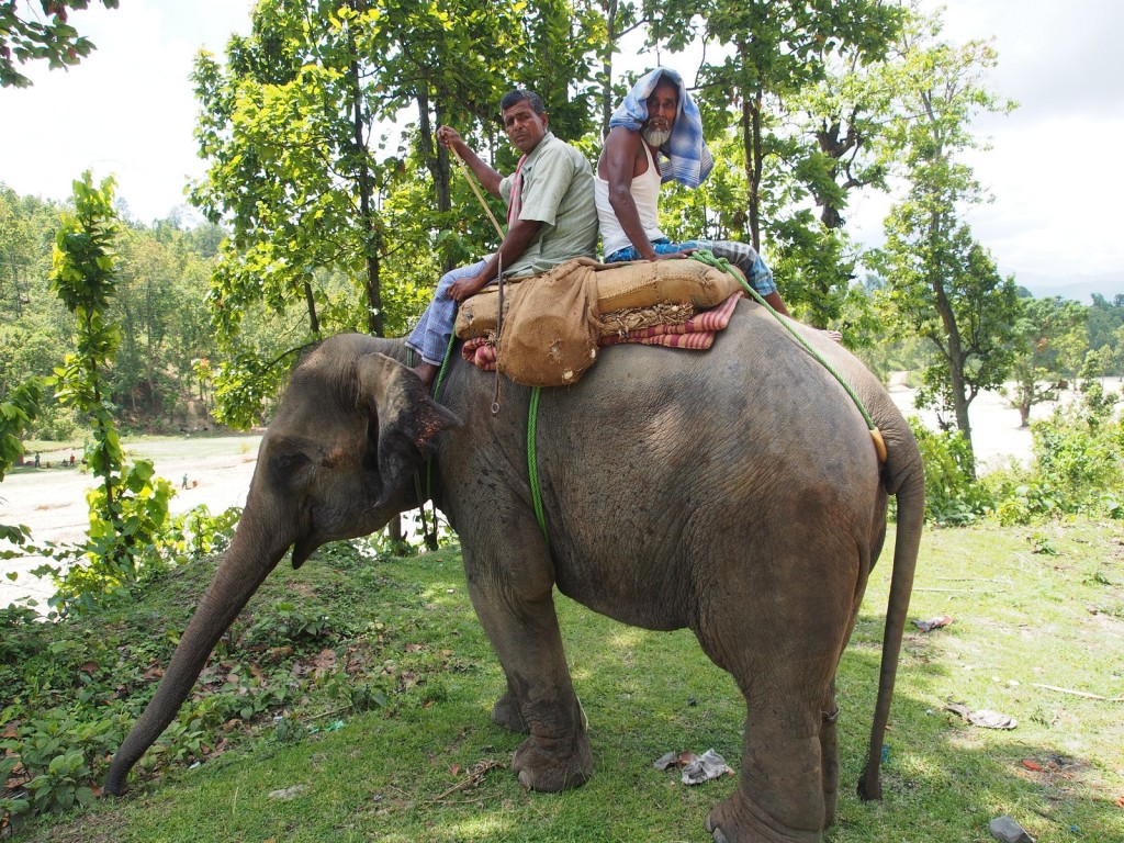
At one point we noticed the traffic in front suddenly slowing and swerving – at first thinking it was another oncoming truck or bus on the wrong side of the road, we were surprised when we got closer.
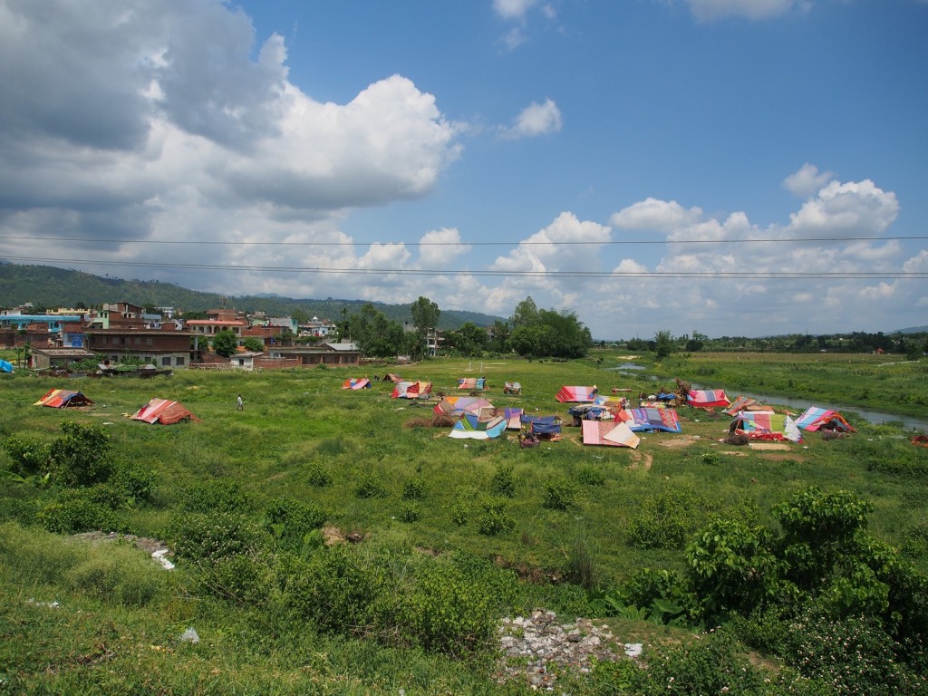
It took a day and a half to get from the border to the point where the road turns north into the mountains, heading towards Kathmandu. It was here that we saw the first of the people displaced by the massive earthquake on April 25th, 2015. Luckily for the people of the Terai they were mostly untouched and suffered minimal damage and casualties.
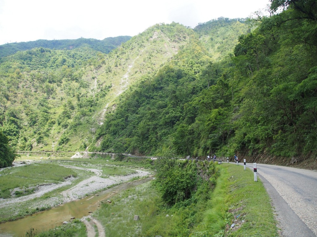
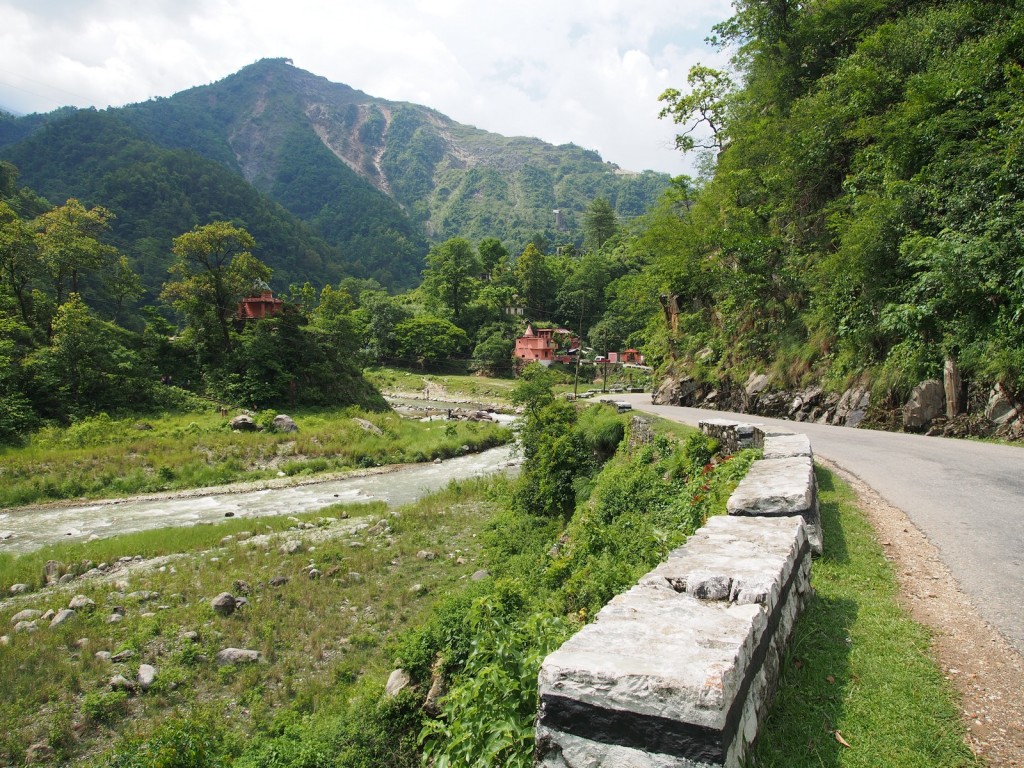
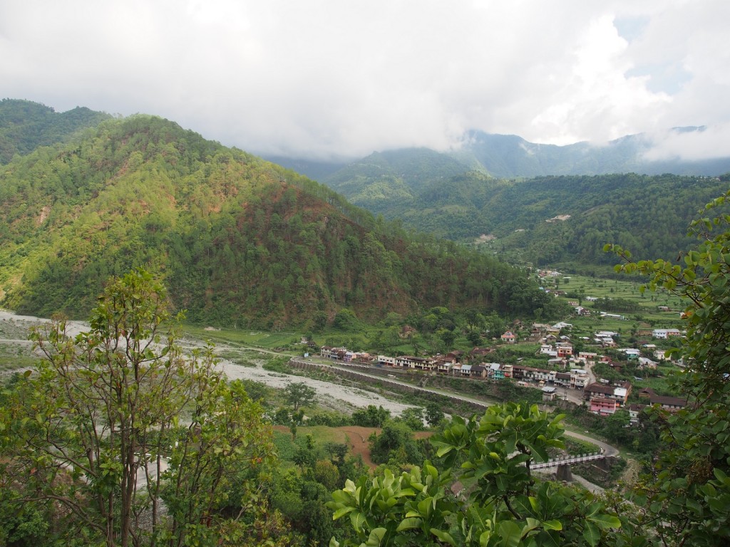
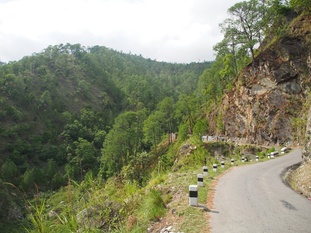
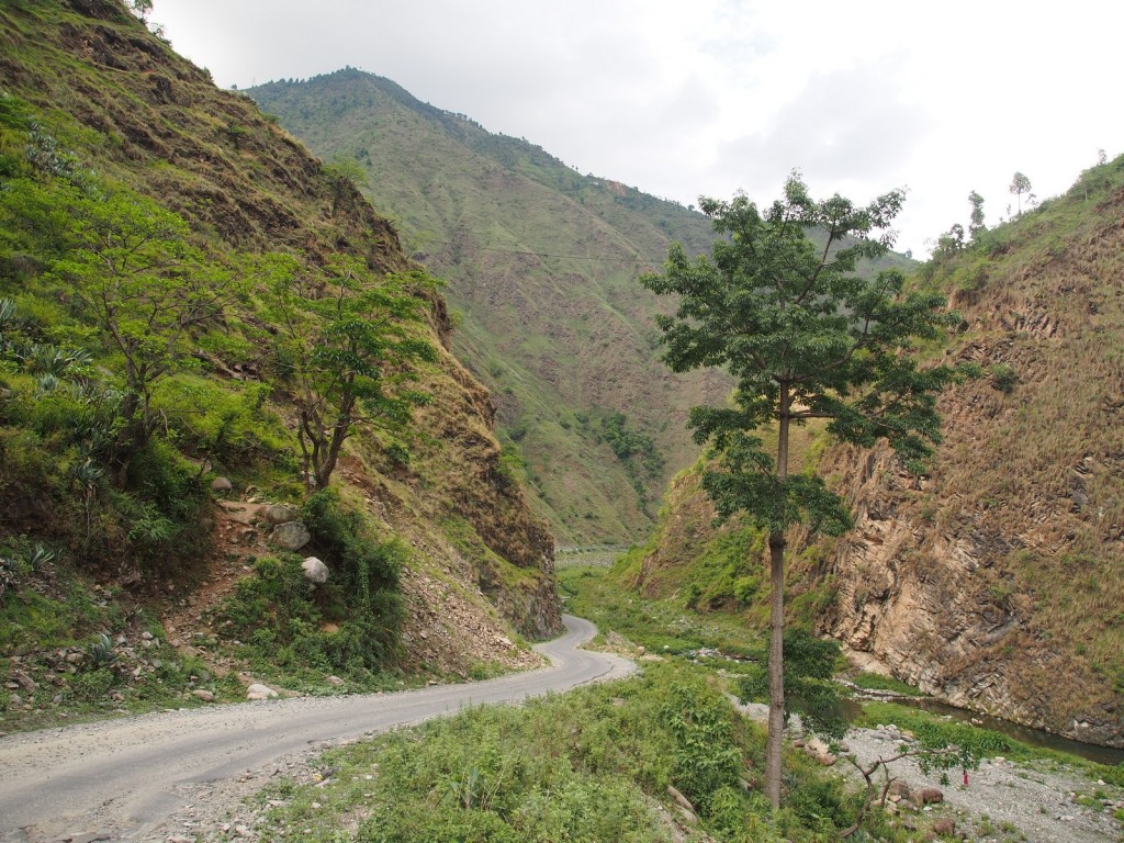
Passing through the junction town of Hetauda, the road immediately plunges into a river valley with steep mountains either side – still small in scale relatively speaking, but more what we expected from Nepal.
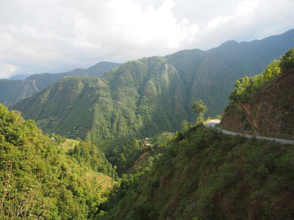
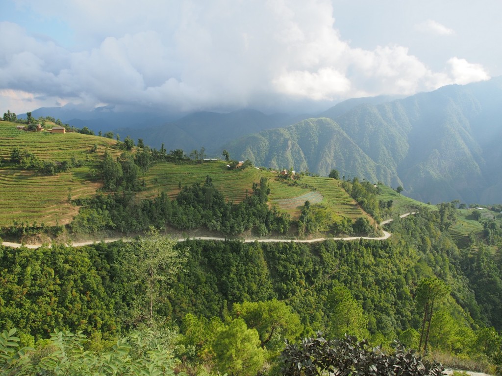
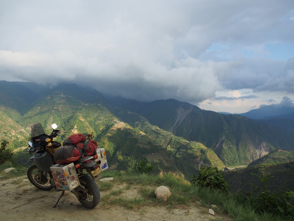
As the road rises it winds its way from one tiny valley, over a range, back into the next small valley and into the next range. Coming from one of the flattest countries on earth, the sheer verticality of the place astounded me.
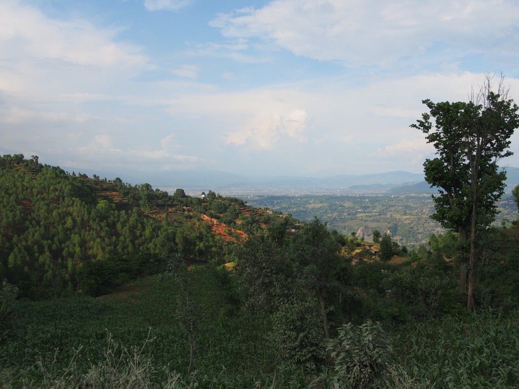
It took almost 3 hours to cover the last 80 kilometres, but as the day grew late we were rewarded with a view into Kathmandu Valley and the city itself.

Dave, this blog is epic. Keep up the good work mate. Hope you guys are well.