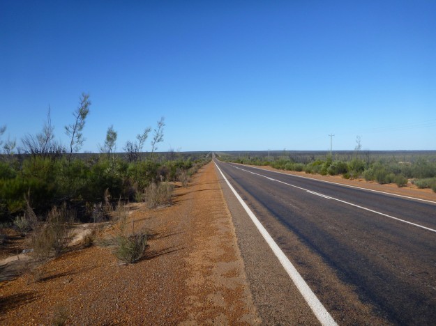
I hit the road early, eager to get out of Perth quickly, with the aim of covering a lot of ground out as far as Kalgoorlie – 650 kilometers away.
After an early turn onto the wrong freeway, I eventually slipped out through the foothills of Perth into the hinterland. The sun was shining brightly and I was making good time.
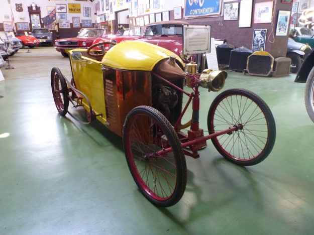
The first stop was a small town called York, the first inland settlement in WA, long before the goldrush times. The high street is almost a time warp, with many 19th Century buildings, and the town also has an interesting motor museum.
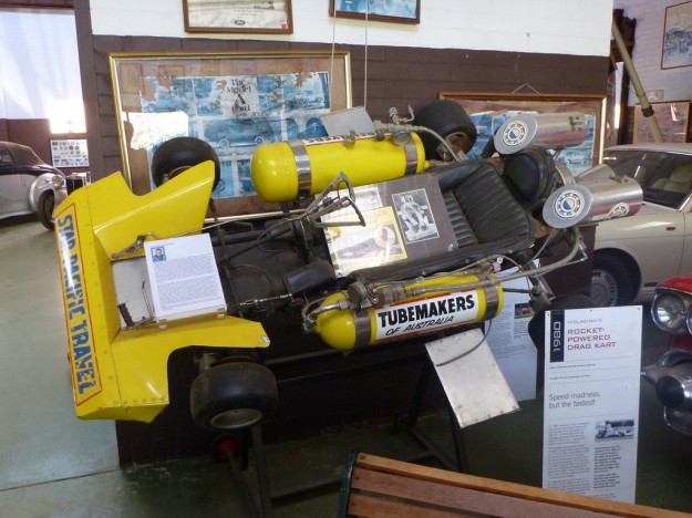
Rocket powered go-kart, anyone?
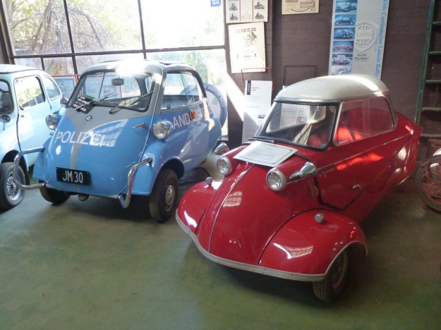
Microcars.
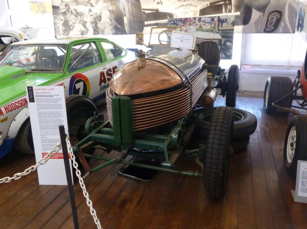
A rare Napier Sampson – the intricate copper pipework across the front is actually the radiator.
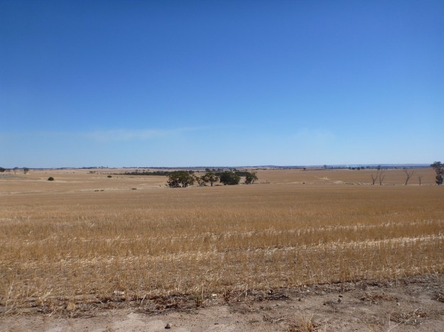
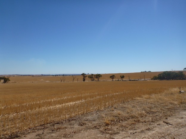
Back on the road, I was passing through the wheatbelt. Rolling plains covered in the post-harvest stubble, much of it being burnt off to prepare for the next sowing.
On advice, I had decided to stay off the freeway and take the old Goldfields Rd, the original route west from the coastline through York to the prospecting fields.
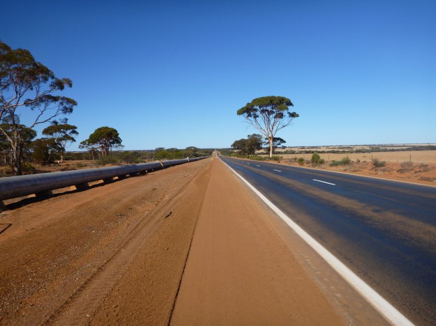
This route rejoined the main road eventually, leaving me eating up the miles with two things for company – the railroad, and the water pipeline. This water pipeline is actually still in use, supplying water through the arid regions to the outback towns.
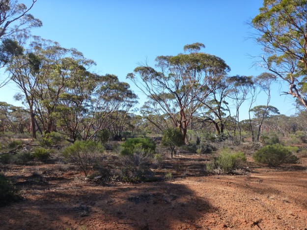
Eventually the wheatfields gave way to a scrubby bushland, part of the Great Western Woodlands, the largest Mediterranean-climate forest on Earth. I had passed through part of this on the last stretch of the Nullarbor, coming in to Norseman.
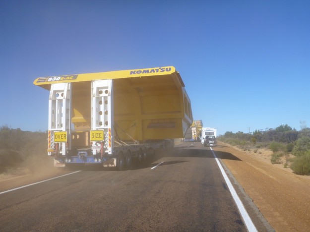
Mining is king out here – this was a taste of the sort of equipment and freight on the roads.
Eventually I came through Coolgardie, one of the original goldrush hubs (but now just a tiny outpost) into Kalgoorlie. As the light was fading, I decided to leave exploring the town until the next day.

