The day started just as the last had ended – with the sound of the waves beating on the cliffs that make up the Southern coast of this land. I quickly packed up camp and hit the road.
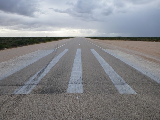
In several places, the roads are marked as makeshift runways, for the Royal Flying Doctor Service to use in emergencies.
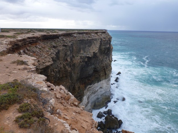
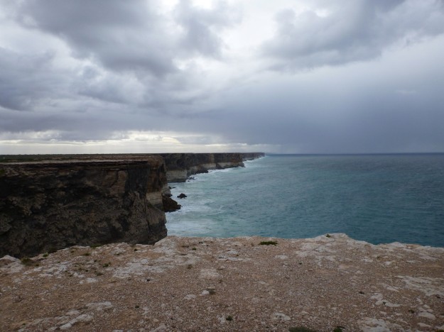
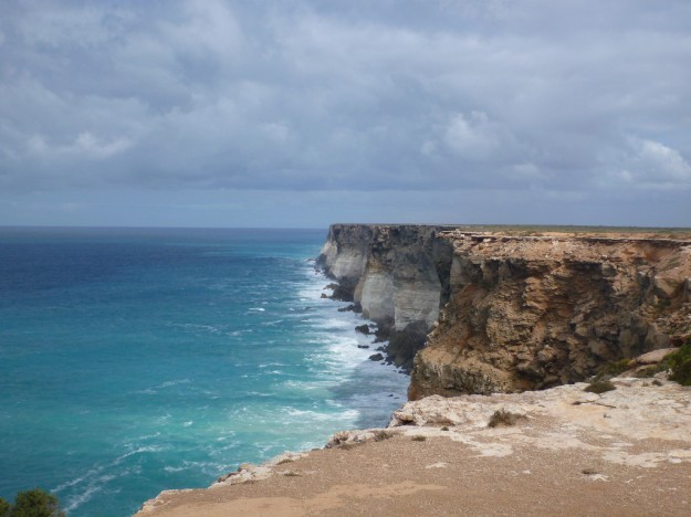
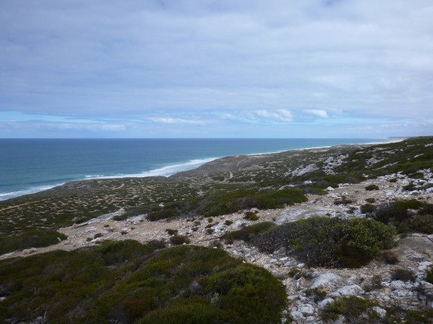
The Bunda Cliffs on this part of the coast are almost 100 metres high, and provide some spectacular scenery. Sadly it’s the wrong time of year, but during winter it’s common to see whales just offshore too.
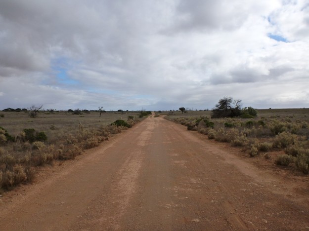
At one point I turned off the main highway, onto a rough dirt track that headed north to the old Eyre Highway – I’d been given a tip.
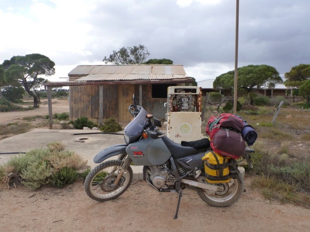
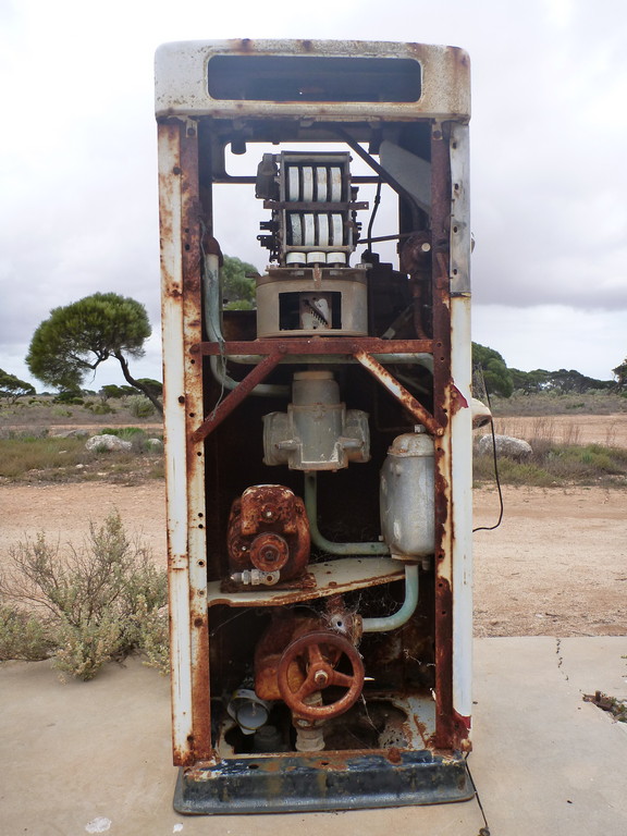
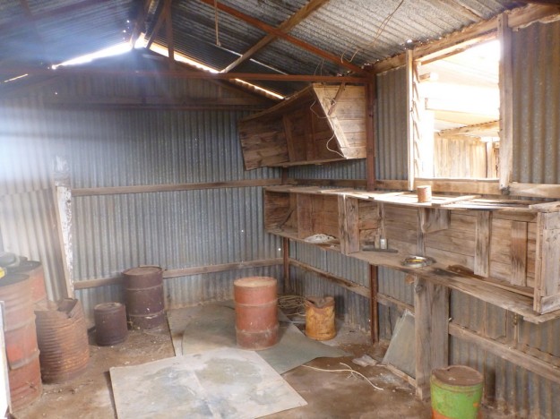
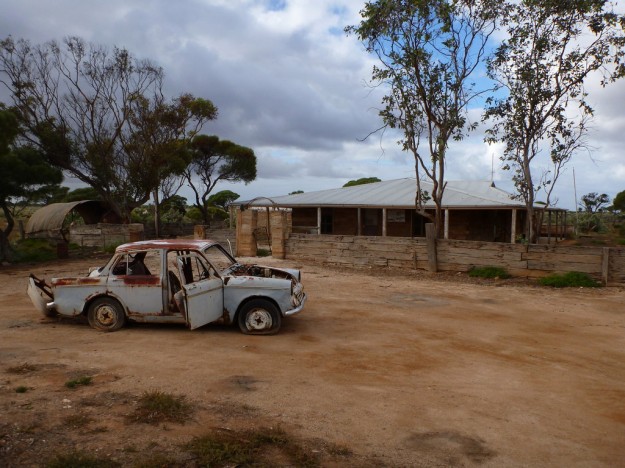
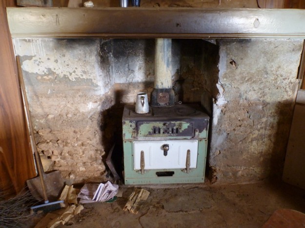
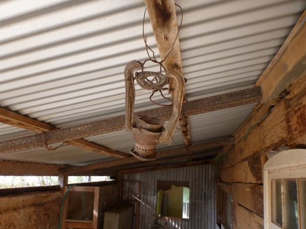
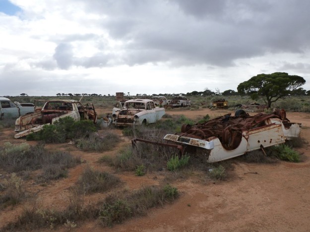
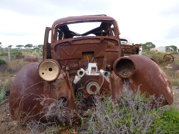
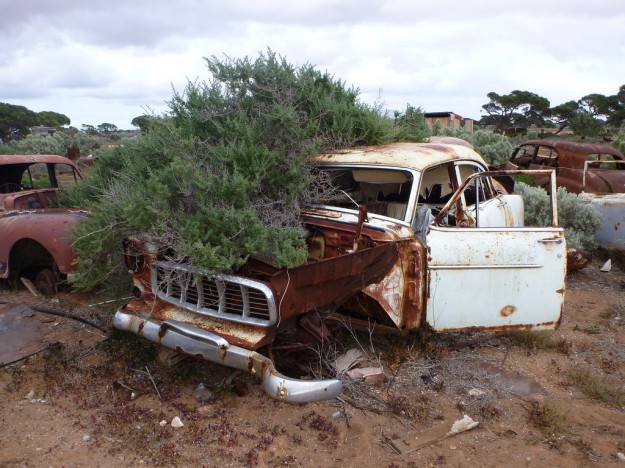
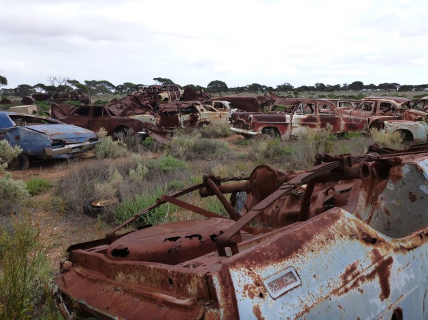
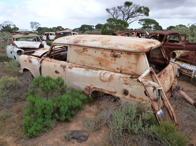
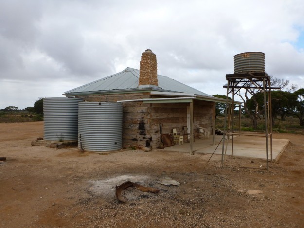
After 15km of fighting corrugations and ruts, I came upon Koonalda Homestead, an old abandoned station and roadhouse that’s now fallen into disrepair. It also functioned as a defacto car graveyard for those that couldn’t survive the harsh trip through this country. I’ll let the pictures say the rest.
Even the hearse doesn’t escape its fate.
I’m a sucker for abandoned places, where nature is reclaiming what man has built.
The best part is, this is part of the National Park, and the Parks Service has recently re-roofed both the homestead and the outbuilding as well as installing rainwater tanks, to allow free camping there. I’d definitely consider a night there in future.
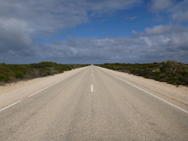
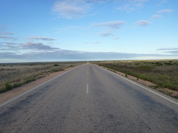
Once back on the road, it was more of the endless straight lines punctuated by lookouts of the cliffs.
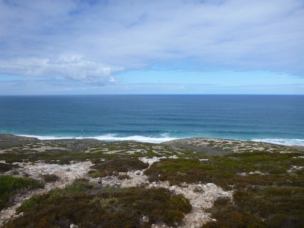
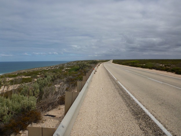
But as I approached the border with WA, the coastline became less rugged, and the road dared to venture within view of the ocean.
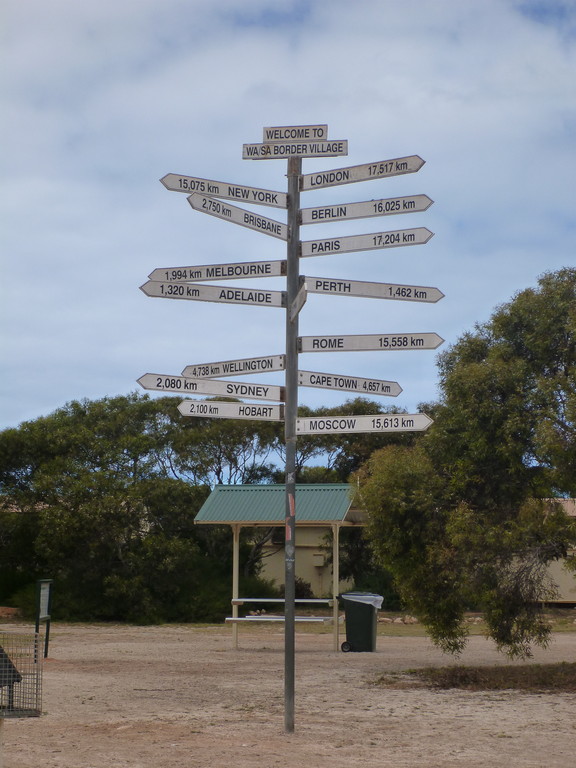
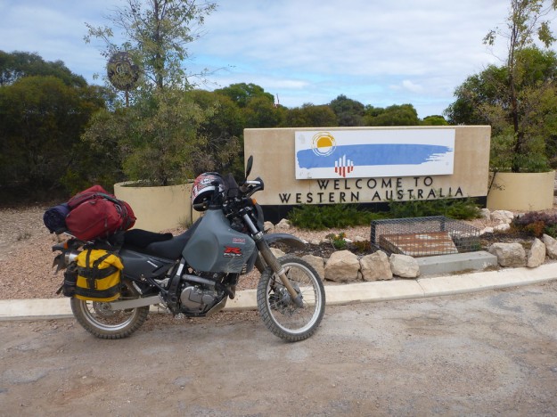
I then hit the state border, at the imaginatively named Border Village complete with another crap giant statue.
An interesting signpost.
And a quarantine checkpoint.
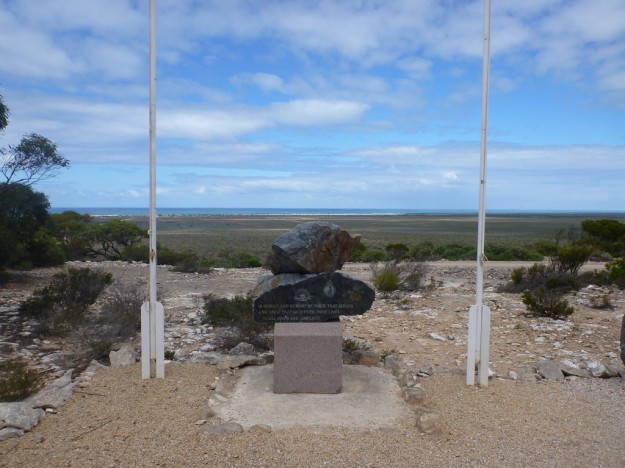
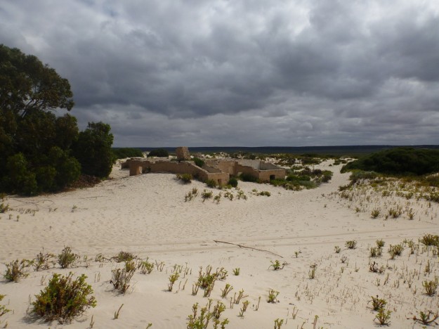
Almost immediately upon crossing the border you come to the township of Eucla, another with another roadhouse. The pristine white sand dunes are visible from the lookout.
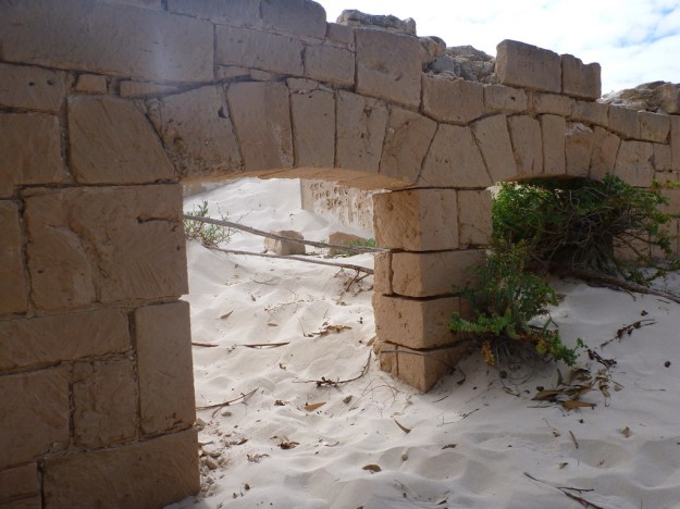
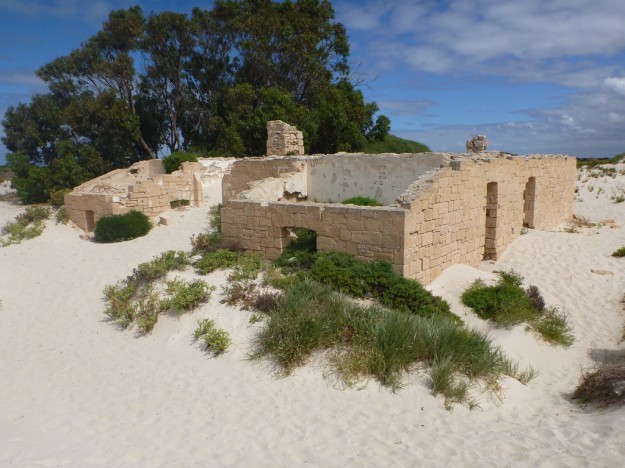
Amongst which there is the old telegraph station, slowly being reclaimed by the dunes.
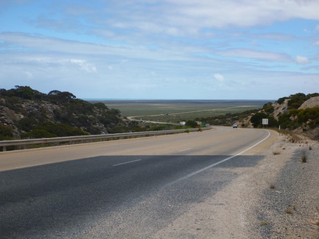
The road out of Eucla drops off the ridgeline to the plain below.
Which means the road now has some scenery – the ridgeline to the right.
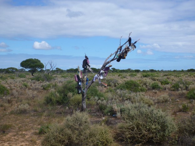
There were other things to see, like the thong tree (what, you thought they were manufactured? Nope, grown).
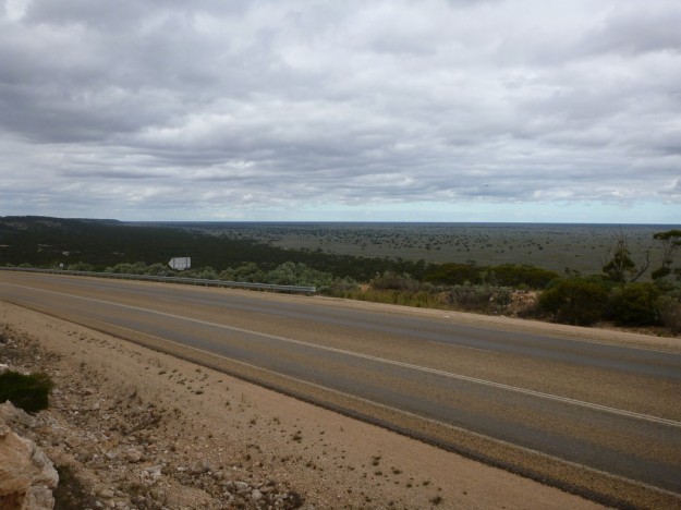
After a while on the lower plain, the road rises back up at Madura, providing sweeping views of nothingness.
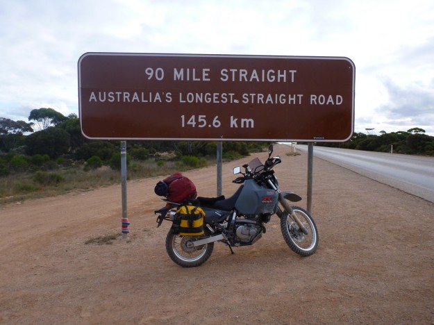
Caiguna is the start of the 90 mile straight.
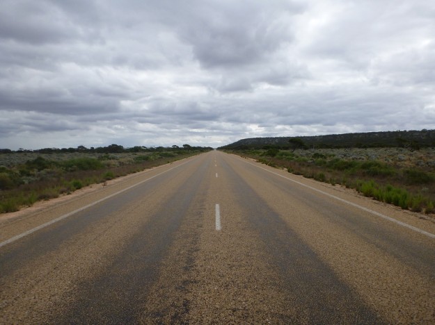
Which really isn’t that much change from the roads prior.
Although I guess constantly chasing the horizon can send anyone a little mad.
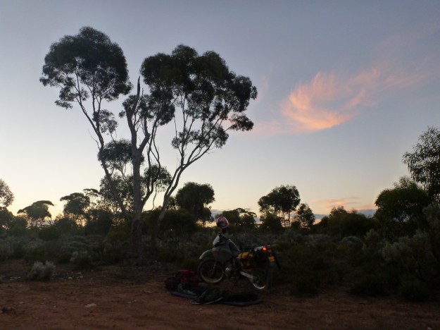
At dusk I pulled off the road and set up camp for the night. I’ve covered just under 1400 kilometers in the last two days, and the end of the Nullarbor is within reach tomorrow.


Cool photos, love that blue ocean crashing into those massive cliffs.