I was woken early at the campsite by a group of three wallabies grazing no more than 5 metres from where I slept. Once they’d had their fill and moved on, it was time to pack up and hit the road.
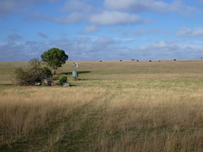
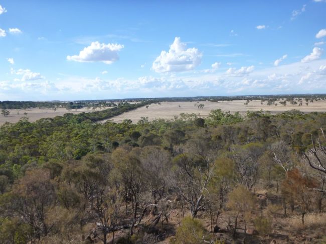
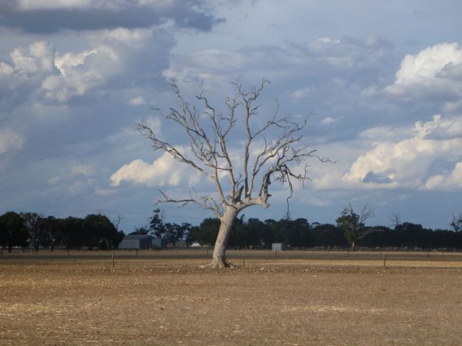
If there’s one image of Victoria that will remain with me (apart from the endlessly overcast weather), it would be something like this:
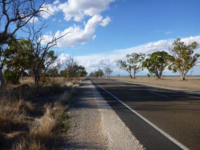
Despite the mountains and the Great Ocean Road, huge swathes of Victoria are just rolling pasture land.
Once underway, it was a quick run to the South Australian border.
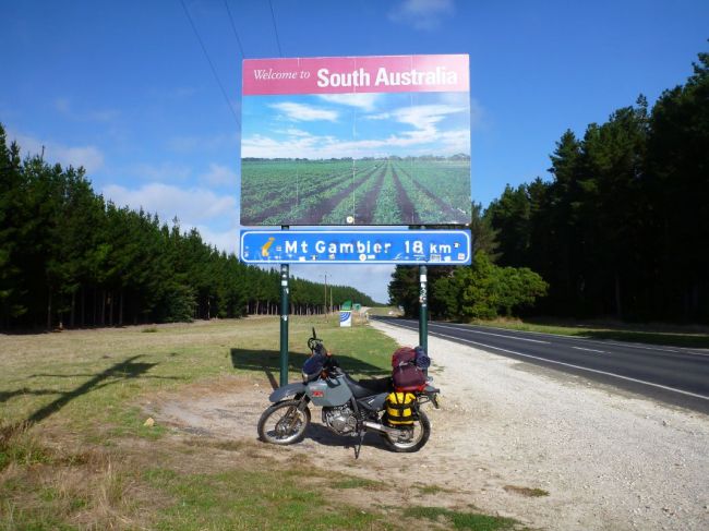
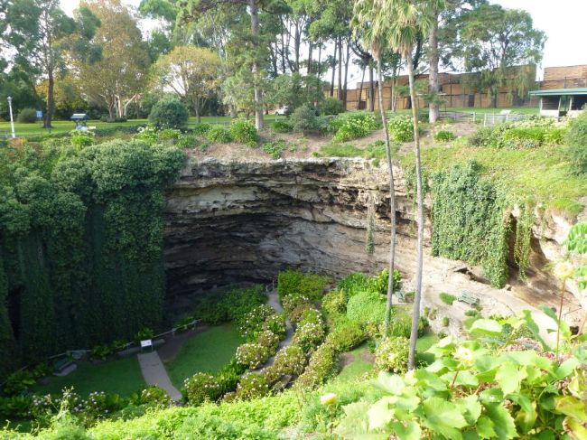
And on to Mount Gambier, the regional centre of the area known as “the Limestone coast”, for its unique geography. For example, this sinkhole in the middle of a suburban park.
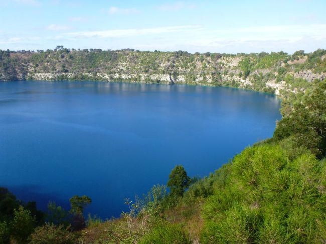
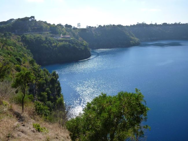
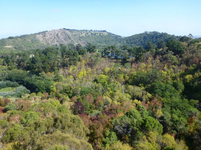
As well as the Blue Lake, inside an ancient volcanic caldera.
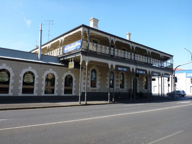
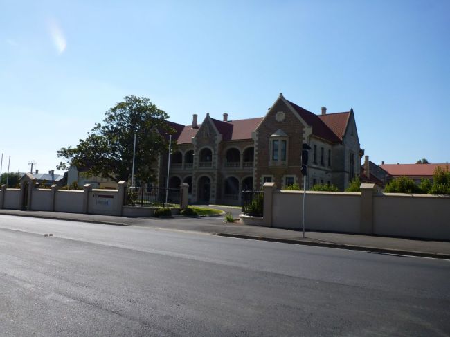
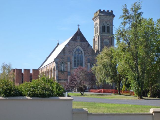
The township also had several wonderfully preserved buildings.
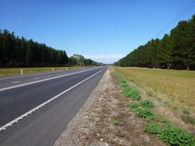
Then it was back on the road, heading North for a change. At first the roads were surrounded by massive pine plantations.
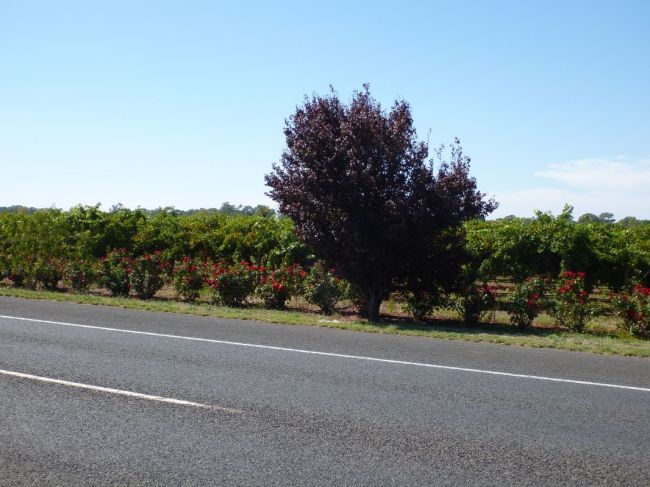
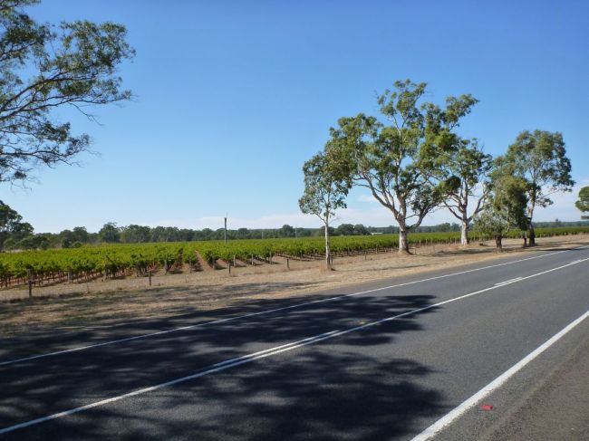
Then I rolled into the Coonawarra region, the southernmost of SA’s wine-growing districts.
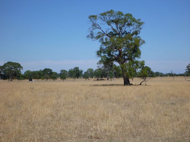
Interspersed with more wide open plains as pasture land.
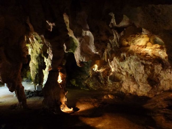
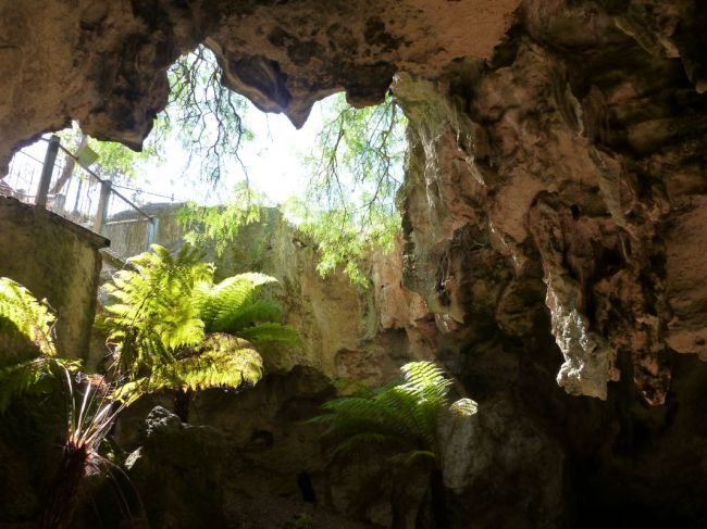
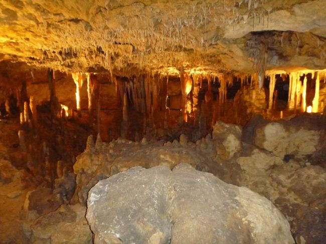
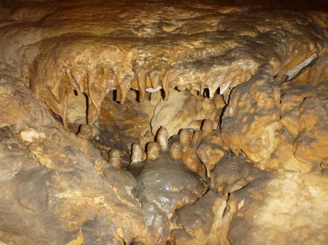
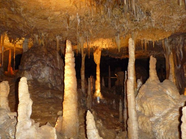
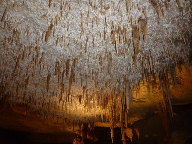
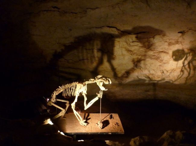
Further up the road was the World Heritage listed Naracoorte Caves, famous both for their beautiful limestone formations and for the rich and diverse fossil history discovered there.
Then as I’d made good time, I decided to get a little closer to Adelaide, back on the open road.
One of the most visually arresting features of the South Australian country-side are the dead gum trees that still stand – with their twisted limbs and stark colouring, they become something of an organic statue that stands out against the blue-grey skies and brown earth.
I’m now checking into a small pub in a one-horse town called Coonalpyn, as I was riding into a massive storm front – and sure enough, no more than 20 minutes after checking in I was able to watch the sheets of rain sweep across the road and vivid lightning bolts arc through the sky.

